Who We Are: Tortuga, Polly, and Why We Built Trek4Free
Who We Are: Tortuga, Polly, and Why We Built Trek4Free
It was 2013. I was trying to plan a camping trip in the mountains — nothing exotic, just sleep somewhere close to a good trail run. Spent two hours jumping between five different browser tabs. One for trailheads. One for dispersed camping rules. One for BLM land boundaries. One for weather. Another to find out if there was a swimming hole anywhere near the route.
Five tabs. Two hours. One trip.
That’s how Trek4Free started. Not from a business plan. From frustration.
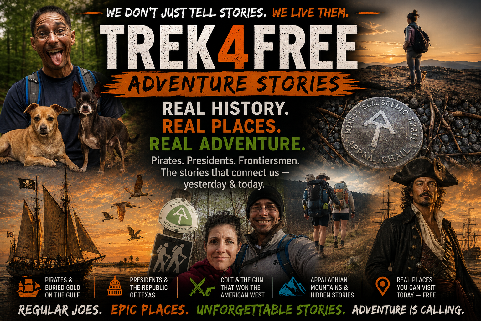
My name is Tortuga. This is Polly.
We are trail runners, kayakers, van lifers, and CrossFit-addicted, health-conscious, outdoorsy people who can’t sit still. Two chihuahuas riding shotgun. A GPS that argues with us. Thirty years of going places most people only see from the interstate.
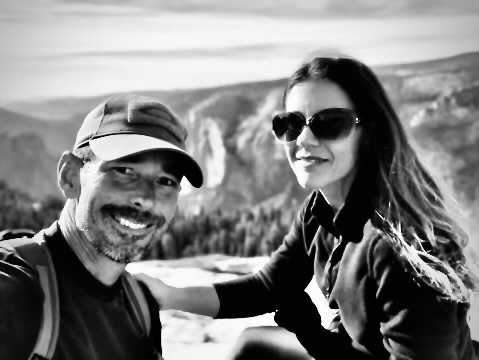
We are not influencers. We do not have a camera crew. Nobody is cutting us a check to say we love the trails. We are Regular Joes who got obsessed with public land, pulled a lot of old threads, and decided the information we were finding was too good to keep to ourselves.
That’s Trek4Free. And this is how it started.
The Appalachian Years
Before Texas, there were the mountains.
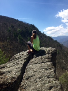
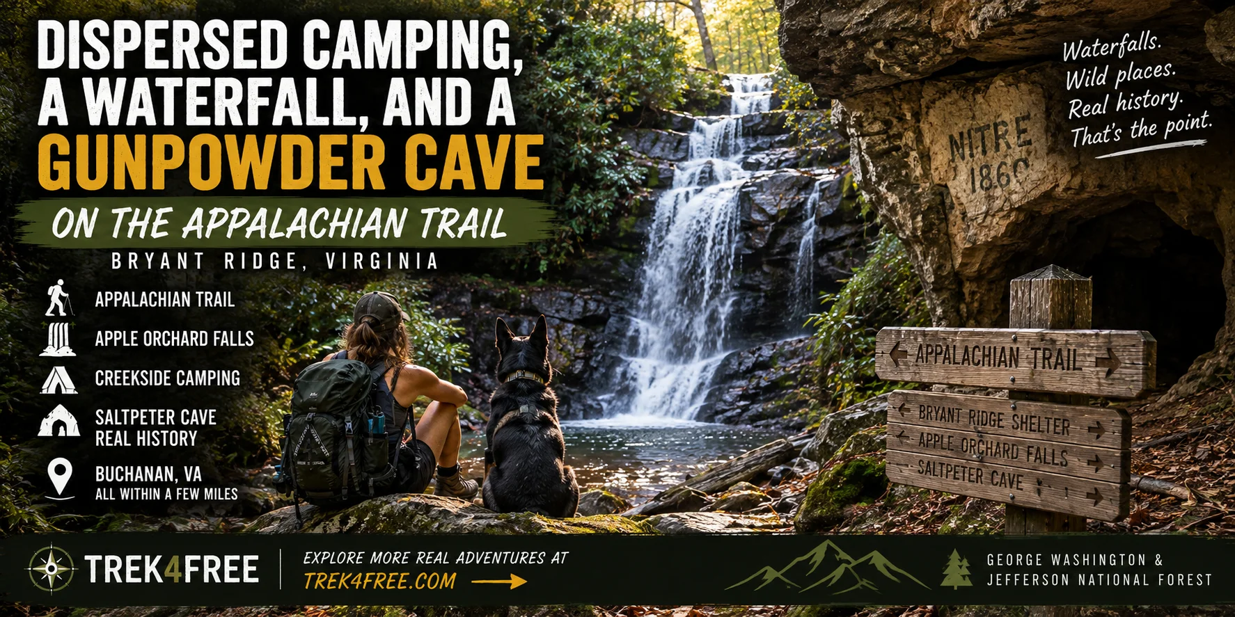
We spent years in the Appalachians — Virginia, West Virginia, the deep woods where trails don’t always have names and the caves on old family property go back further than anyone’s been willing to follow. There are stories in those mountains. Missing lottery money. Hollow hills. Things the old families don’t talk about in mixed company.
The Blue Ridge is in our bones. The smell of wet leaves on a November morning, the way sound disappears inside a hemlock hollow — that doesn’t leave you, no matter where you end up.
We ran trails at night. We kayaked rivers before the sun came up. We rock-climbed walls in national forests and found things on the approach trails that had nothing to do with climbing — rock formations too regular to be accidental, structures carved into cliff faces, alignments that looked deliberate. We’d show up expecting a crack climb and find ourselves standing in front of something that looked built, not formed.
We built the habit of showing up to places most people only see from the interstate, and asking questions the tourist signs don’t answer.
What the Outdoors Means to Us — The Real Answer
There was a surgery.
Polly’s back gave out. The short version is: there was a surgery, there was a wheelchair, and there was a period of time where the question hanging over everything was whether she was going to walk again the way she had before.
Here’s what nobody expects: she was still going on trail runs.
We built a system. Tortuga pushed the wheelchair on the trails while he ran. The trails near Richmond were not all wheelchair-friendly, which turned out to be irrelevant — the goal was movement and being outside, not convenience. One afternoon the chair hit a rhododendron thicket. The rhododendrons in the Virginia mountains grow in dense, interlocking tunnels so thick you sometimes have to get on your knees to push through. A wheelchair does not go through a rhododendron tunnel.
They laughed about it. He got her out. They kept going.
During the recovery, Polly learned to belay from the wheelchair — sitting at the base of a climbing wall, managing the rope with a different brake position than any instructor had ever taught, learning to arrest a fall without standing up. She did it. She learned it. And when her recovery was far enough along to climb herself, she understood the full system from every position in it.
There is no time to feel sorry for yourself in this house.
The outdoors is not something we do when life is easy. It’s where we go when life is hard. It’s where we’ve always gone. That hasn’t changed — it’s why we built this.
Moving to Texas
Then we moved to the Gulf Coast — live oak country, Aransas Bay, the same shoreline where pirates worked the shallow passes and presidents went looking for gold. We didn’t know any of that yet. We thought it was a nice place to run trails and kayak in the morning.
Then we started pulling on the thread of history — still a mystery. I felt like I was on an adventure that is still available to explore.
The pirate was Jean Lafitte — real, documented, operating in these exact waters in the 1820s. The president was Mirabeau Lamar, first president of the Republic of Texas, who chased Lafitte’s story for years. The land where those trails converge? Samuel Colt — the Colt revolver Colt — quietly bought that peninsula while the treasure hunters were still looking.
None of this is legend. It’s in the historical record. It’s ten miles north of Rockport on a peninsula anyone can drive to today for free.
And that’s when we understood what we were building.
The apps weren’t going to solve it. AllTrails locks offline maps behind a paywall. The Dyrt locks dispersed camping data behind a subscription. Five tabs and two hours just to plan one trip — if you could find the right data at all. We needed something that showed everything in one place, for free, before you left home.
So we built it.
What Trek4Free Actually Does
This is a one-stop geospatial view of outdoor adventure on public land.
Open the Explore map and you can layer it — waterfalls, caves, ancient sites, free camping, hot springs, swimming holes — and see what overlaps near wherever you’re already headed. Every pin connects to Organic Maps for offline navigation that works without cell service, which matters when you’re on a forest road with no signal trying to find a spring.
Most outdoor platforms are built around trails and trailheads. They show you where to park and where to walk. What they don’t show you is the hot spring sitting in a national forest two canyons over. The waterfall that never made it onto a postcard. The cave you can walk into without a guide. The petroglyph panel that’s been on that canyon wall for a thousand years.
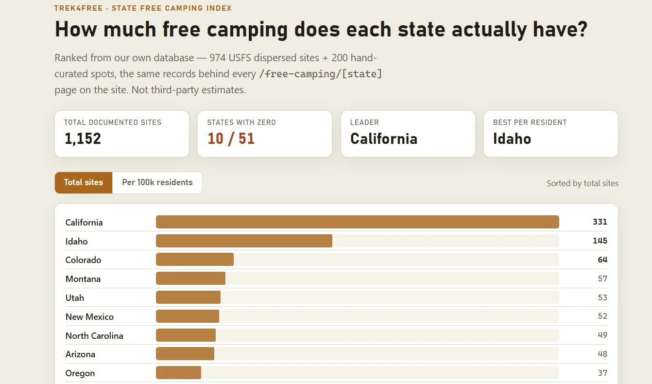
That information exists. It lives in federal databases — BLM, Forest Service, NPS, Army Corps, USGS, OpenStreetMap. We pull it all together onto one filterable map and put it in front of you before you leave home.
No paywall. No subscription. No algorithm showing you sponsored content. We do have affiliate links to help cover some of the cost — but the reality is this was built from passion of the heart, not the pocketbook. We don’t have big-money corporations holding us up. We are literally still on the trail, building memories, the same as you.
And honestly — if you’re anything like us, you’re wondering what data these apps are collecting from you. Here, the answer is nothing. No login. No email. No tracking. Just the map.
If Indiana Jones Felt Like a Calling
Here’s the thing about adventure in America: most people think it requires a plane ticket, a permit lottery, or a gear list that costs more than the trip.
It doesn’t.
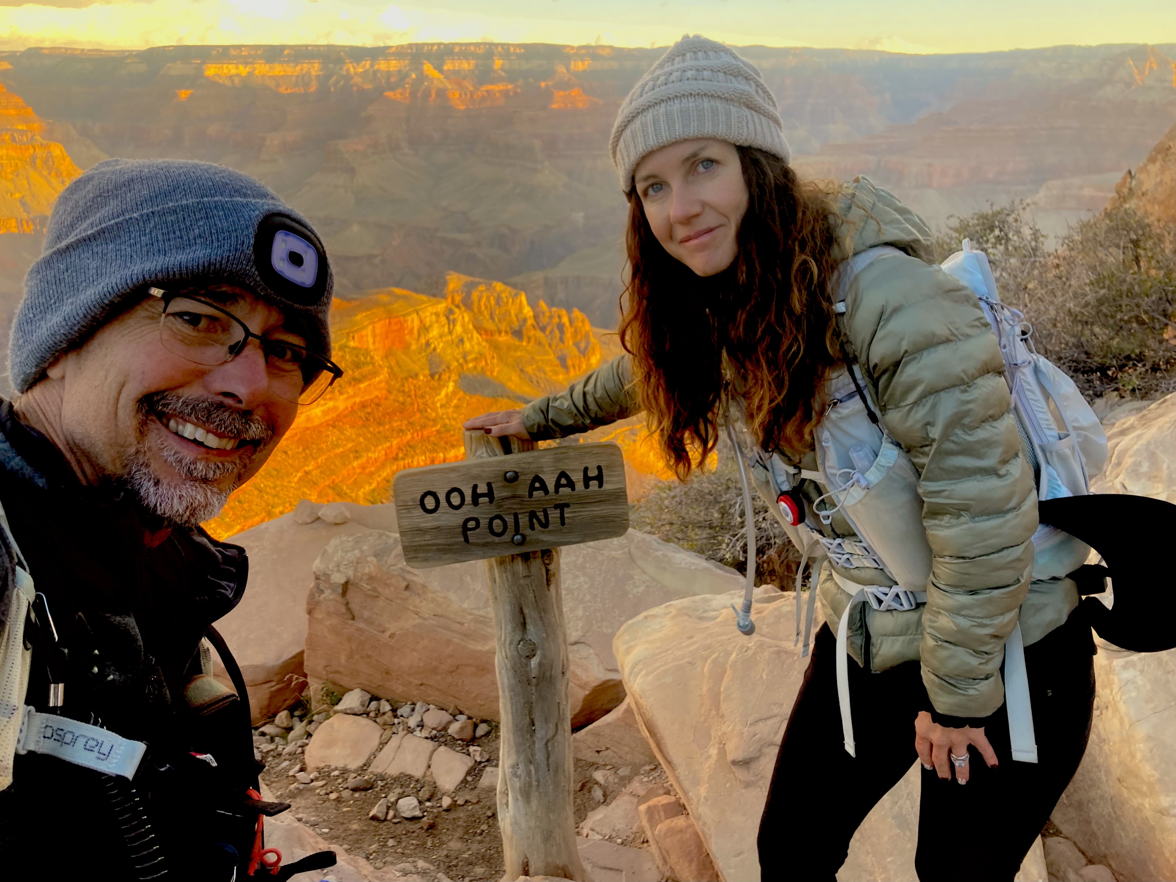
If you’ve ever felt like you should have been born in the 1800s. If you read Huck Finn and thought — that’s it, that’s the life. If Indiana Jones felt less like a movie and more like a calling —
You are in exactly the right place.
The Appalachian mountains have caves on public land that nobody has mapped all the way back. The Texas Gulf Coast has a missing privateer fleet the Texas Historical Commission is actively hunting right now. Nevada has a cave where the Paiute burned their enemies alive — and you can walk to the entrance today on BLM land. New Mexico has a gold-filled cave the Army cordoned off with missile range land and has never officially denied.
You don’t need to go to the Amazon. You just need to look at what’s close to you — and go.
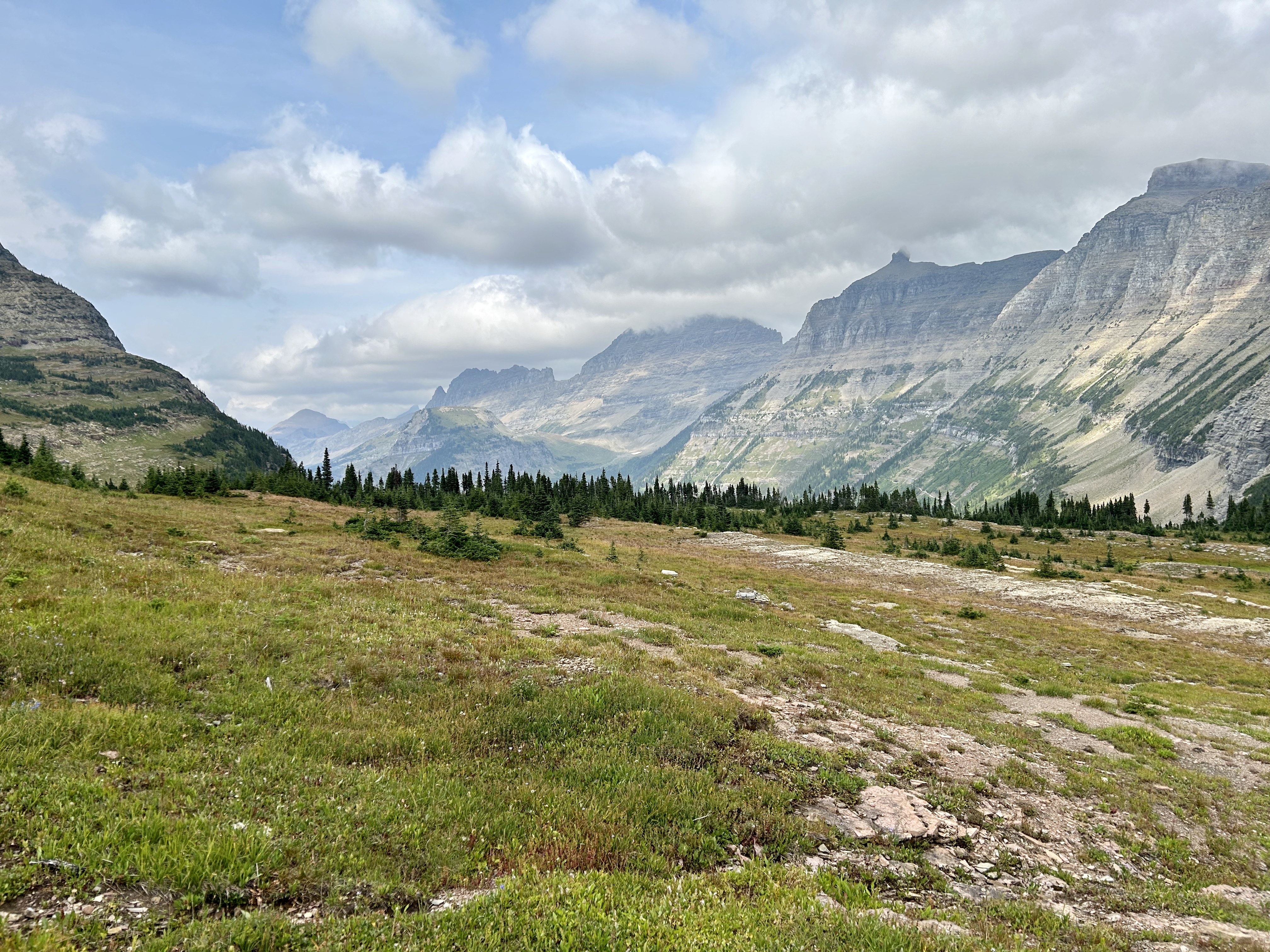
That’s the mission. That’s why we built this. That’s why it’s free.
We Have the Scars
We’re not writing from a desk.

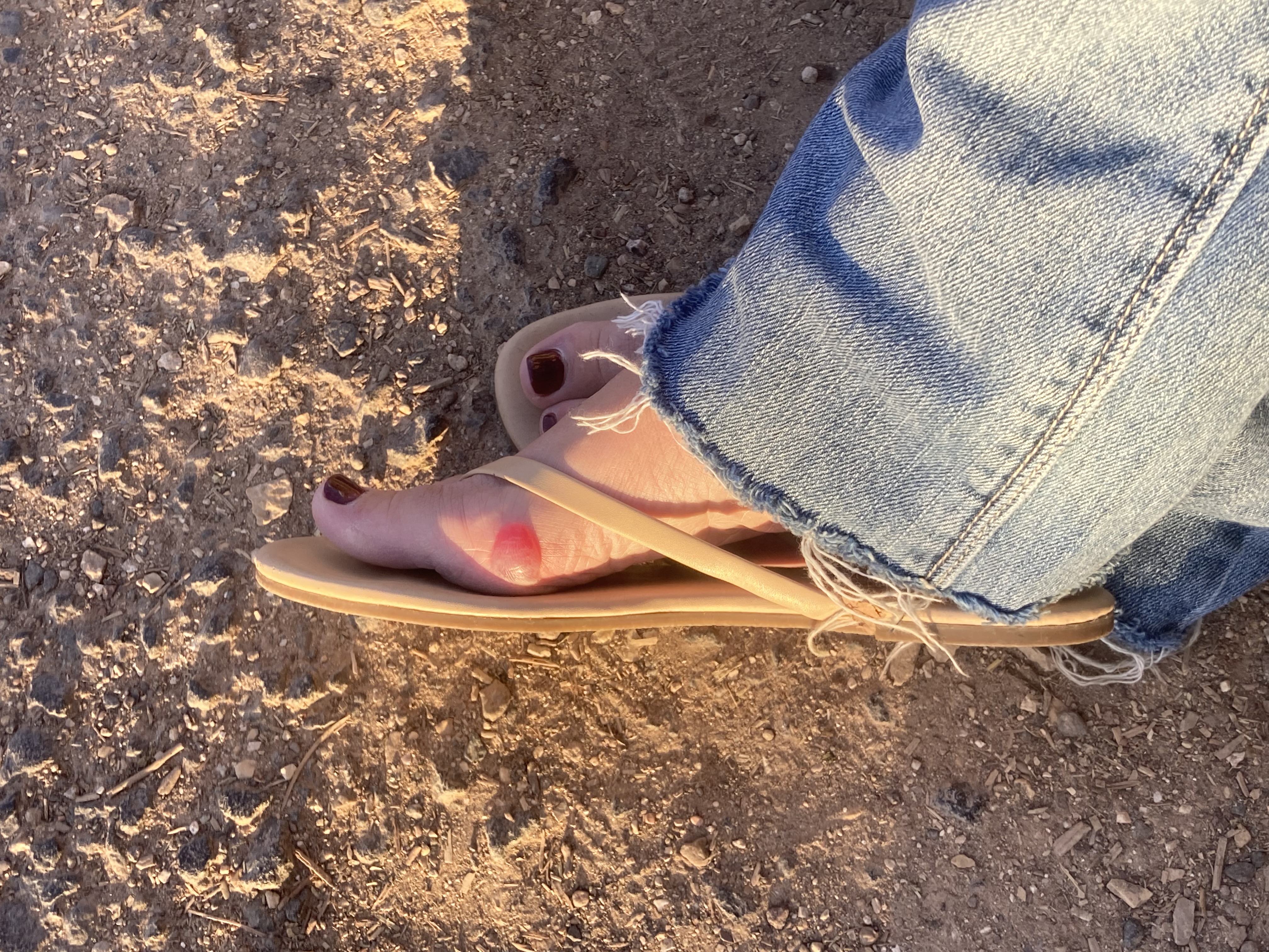
The kind of trail fall that ends with you looking at your palm under fluorescent lights wondering how deep it is — we’ve had that. Fifty feet up a sandstone wall at New River Gorge with a rattlesnake in the crack above us — we’ve had that too. The blister earned after 20 miles of steep ascents. The plan that fell apart and the backup that was a forest road and a sleeping bag.
We keep going back. That’s the credential.
The people who built Trek4Free are the people who use it. Not a marketing angle. Just true.
Where to Start
The best place to start is the Explore map. Zoom to wherever you’re headed, toggle the filters for what you’re looking for, and see what’s within range before you leave home. Every location links to Organic Maps for offline navigation — download your region before you leave cell range and the blue dot keeps moving down the trail whether you have signal or not.
If you want the stories that go with the places, Trail Stories is where we put them — episodes of real history at real places you can visit today, narrated and written out in full, free on YouTube.
If you want a challenge, Trail Challenges has active goals — Colorado 14ers, AT sections, Southwest desert routes.
We live healthy and love the outdoors. That’s just who we are. And we want to find a place in your travels.
See you on the road.
— Tortuga