Why We Built Organic Maps Into Trek4Free (And Why You Should Download It Before Your Next Trip)
Why We Built Organic Maps Into Trek4Free (And Why You Should Download It Before Your Next Trip)
There’s a specific moment that happens to almost everyone who camps or hikes on public land at least once. You’ve got the location pulled up on Google Maps. You’re an hour outside of town, cell signal has gone to one bar, then none. You turn onto a forest road and Google Maps either tells you you’re driving through a field, reroutes you back to the highway, or simply stops working.
The pin you saved? Gone. The directions? Gone. You’re looking at a blue dot on a blank gray screen.
We built Organic Maps into Trek4Free because we know that moment. We’ve had that moment. And there’s no reason for it to happen to you.
The Problem With Google Maps in the Field
Google Maps is excellent at what it was built for: getting you from one addressed location to another along paved roads. Urban navigation, restaurant directions, airport terminals — it’s the best tool for that.
It was not built for forest roads, dispersed campsites, wilderness trailheads, or anywhere your cell signal disappears before you arrive.
The limitations stack up fast in the field:
- Forest roads (FR roads) often don’t exist in Google’s database or are labeled “unnamed road”
- Dispersed camping areas have no address — you’re navigating to coordinates
- Download-for-offline in Google Maps works for surface streets but degrades badly for backcountry areas
- It requires active data to recalculate routes — dead without signal
- Battery draw is constant because it’s always polling data in the background
For a site built around free public land, dispersed camping, and places that exist specifically because they’re off the beaten path — Google Maps was the wrong partner. We kept it. We also added something better.
What Organic Maps Actually Is
Organic Maps is a free, open-source, offline navigation app built on OpenStreetMap data — the same community-maintained map database that powers thousands of outdoor apps and that we use here at Trek4Free.
OpenStreetMap is built by people who actually go to the places they map. Hikers tag trails. Campers mark dispersed sites. Off-road drivers trace forest roads. The result is a map of the world that’s extraordinarily detailed in exactly the places Google’s commercial mapping ignores.
Organic Maps makes that data available offline, for free, with no ads, no subscription, and no tracking.
Key things it does that matter for outdoor use:
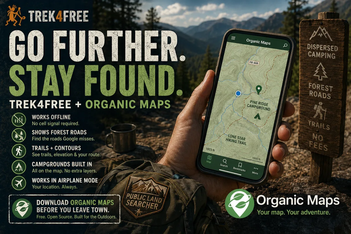
It works without cell signal. You download maps for your region once, over WiFi, before you leave. Then the app works completely independently of data. No bars required.
It shows forest roads. FR roads, jeep tracks, unmaintained two-tracks — if it’s in OpenStreetMap, Organic Maps shows it. That’s the road that leads to the free campsite Google Maps pretends doesn’t exist.
It shows the actual trails. The OSM base layer has hiking trails rendered right into the map — not a separate toggle, not a premium feature. Named trails show their proper names. You can see the route before you start it. The Lone Star Hiking Trail, the Appalachian Trail, the forest service connector trails that don’t have names but are marked in OSM — they’re all there, visible the same way a road is visible.
It shows contour lines. Real topographic detail. You can read elevation change before you commit to a route.
It tracks your position in airplane mode. This is the one that still gets me. Put your phone in full airplane mode — no data, no cell signal, nothing — and Organic Maps still knows exactly where you are on the trail. Your phone’s GPS hardware works independently of your cellular radio. Organic Maps uses it. Google Maps doesn’t, not reliably. When Tortuga and I are deep in a canyon or on a ridge with zero bars, I put the phone in airplane mode to save the battery and my blue dot keeps moving down the trail.
It shows the campgrounds embedded in the map. Not in a separate layer, not as a paid add-on. Campgrounds, shelters, dispersed camping areas — they’re woven into the OSM base map. You can see a site on the map before you commit to driving the forest road that leads to it.
It’s honest about what it doesn’t know. Blank spots are blank. It doesn’t confidently route you into a field.
Why We Integrated It Sitewide
Every location on Trek4Free — every campground, cave, waterfall, swimming hole, hot spring, trailhead, ancient site — has GPS coordinates. That’s how we build the explore map. That’s how the directory pages work.
We used to offer only a Google Maps link on every location. It’s fine for places with a real address. For a dispersed campsite on a national forest road with no street address and no cell signal at the destination? It’s actively misleading.
Organic Maps has a deep link format. When you tap the 🍃 Organic Maps button on any Trek4Free location page or explore popup, it opens the app directly — with a pin already dropped at the exact GPS coordinates of that location. No searching. No entering coordinates. Just a pin, your position, and a route you can follow offline.
The workflow looks like this:
- Find a location on Trek4Free — cave, campsite, waterfall, trailhead
- Tap the Organic Maps button while you still have signal
- The app opens with the pin set
- Download the offline map for that region if you haven’t already
- Drive to it — with or without cell service the whole way
We also added a tip card on the Explore map that explains this. You’ll see it the first time you open Explore. You can dismiss it, and it stays dismissed.
Download It Before You Leave Town
This is the part people skip and regret. Organic Maps requires you to download regional map files in advance. Each region is a compact file — a state-level download is typically 200–800MB depending on how much road and trail detail exists. It downloads fast on WiFi and takes no space on the map itself.
If you download your map region before you leave cell range, you will never be the person staring at a blank gray screen on a forest road.
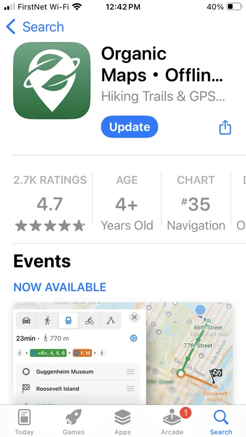
The app is free on both iOS and Android.
A Note on DuckDuckGo
If you use DuckDuckGo as your browser, you may notice that the Trek4Free Explore map doesn’t ask for your location — DuckDuckGo blocks GPS access by default across all sites. This isn’t a Trek4Free bug. It’s DuckDuckGo’s privacy setting doing its job.
To use location-based features in Trek4Free on DuckDuckGo, go to Settings → Privacy → Location Permission and allow it for the site. Or open Trek4Free in Safari, which uses standard location permission prompts.
The Bigger Picture
There’s a philosophy behind this that matters to us. Trek4Free is built on public data — USFS trail records, RIDB campground databases, OpenStreetMap waterfall and cave data. Free to access, free to use. The outdoor world belongs to everyone. We wanted the tools on this site to match that.
Google Maps is a product of a company that monetizes your location data. We’re not against it — it’s useful, and we still include a Google Maps link on every location. But for the places we actually care about, the remote ones, the free ones, the ones that exist because they’re genuinely off the beaten path — Organic Maps is the better tool.
And look — if you happen to find Swift’s silver mine out there, maybe you don’t want Google knowing the coordinates. Just saying.
Download it. Drop pins before you leave. Go somewhere Google Maps doesn’t know exists.
We’ll have the coordinates waiting for you.
Every location on Trek4Free links to Organic Maps. Start on the Explore map or browse by category — caves, waterfalls, free camping, swimming holes, hot springs.