Dispersed Camping, a Waterfall, and a Gunpowder Cave on the Appalachian Trail — Bryant Ridge, VA
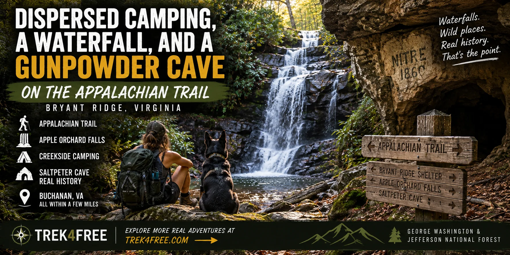
About 7 miles northeast of Buchanan, Virginia, the Appalachian Trail climbs roughly 2,250 feet over eleven miles along Bryant Ridge and Floyd Mountain before topping out at Apple Orchard Mountain — at 4,225 feet, the highest point in the entire Glenwood Ranger District. Our data flagged the AT shelter at the base of that climb as a genuine four-feature cluster: a waterfall, a creekside campground, and a cave with real gunpowder-era history, all within about 7 miles.
Bryant Ridge A.T. Shelter
The anchor point — Bryant Ridge A.T. Shelter, a standard Appalachian Trail shelter in Botetourt County, sitting right where the climb toward Apple Orchard Mountain begins. This is thru-hiker infrastructure, not a car-camping destination on its own, but it’s the reference point our data used to find everything else nearby.
Apple Orchard Falls
Apple Orchard Falls — the trail runs about 3.4 miles, following North Creek almost to the Blue Ridge Parkway, through a valley stretching from Sunset Fields in the east to the North Creek camping area in the west. The falls themselves are the payoff at the end of a genuinely scenic creek-side walk — one of the better waterfall hikes in this section of the George Washington and Jefferson National Forest.
North Creek Campground
North Creek Campground — a developed, creek-side campground on North Creek, a real trout stream, with camping units set right along the water. This isn’t the free dispersed option — it’s a fee campground — but it’s a legitimate, well-placed base if you’d rather have a designated site than a dispersed pullout.
Saltpeter Cave — The Gunpowder History
Saltpeter Cave — Botetourt County has a real, documented history of saltpeter mining — caves throughout this part of the Blue Ridge were worked for nitrate deposits used to manufacture gunpowder, a pattern that shows up across Appalachian limestone caves going back to the Revolutionary War and running through the Civil War, when the South’s saltpeter supply lines were repeatedly cut off and domestic cave sources became strategically important. We haven’t confirmed the exact mining period for this specific cave — there are multiple caves named some version of “Saltpeter” in Botetourt County alone, and we’re not going to assign a specific war and date to this one without better sourcing than we currently have. What we can say with confidence: the name isn’t decorative. Nitrate mining in this exact region is real, documented history, and this cave sits squarely inside the area where it happened.
Apple Orchard Falls NRT Trailhead
Apple Orchard Falls NRT Trailhead — the formal trailhead for the falls hike, if you’d rather start here than from the shelter side.
Planning the Trip
Everything sits within about 7 miles of the Bryant Ridge shelter:
| Stop | Distance from anchor |
|---|---|
| North Creek Campground | 0.7 miles |
| Apple Orchard Falls NRT Trailhead | 2.9 miles |
| Apple Orchard Falls | 3 miles |
| Saltpeter Cave | 7.1 miles |
This is a quieter, less crowded cluster than the well-known hot spring corridors out West — no seven-car parking lots to beat, no closure orders to check. Just a real waterfall hike, a legitimate trout-stream campground, and a documented piece of Appalachian gunpowder history, all close enough together to make one trip.
Explore this cluster and hundreds of others on the Trek4Free map.