The Gold the Missile Range Is Hiding
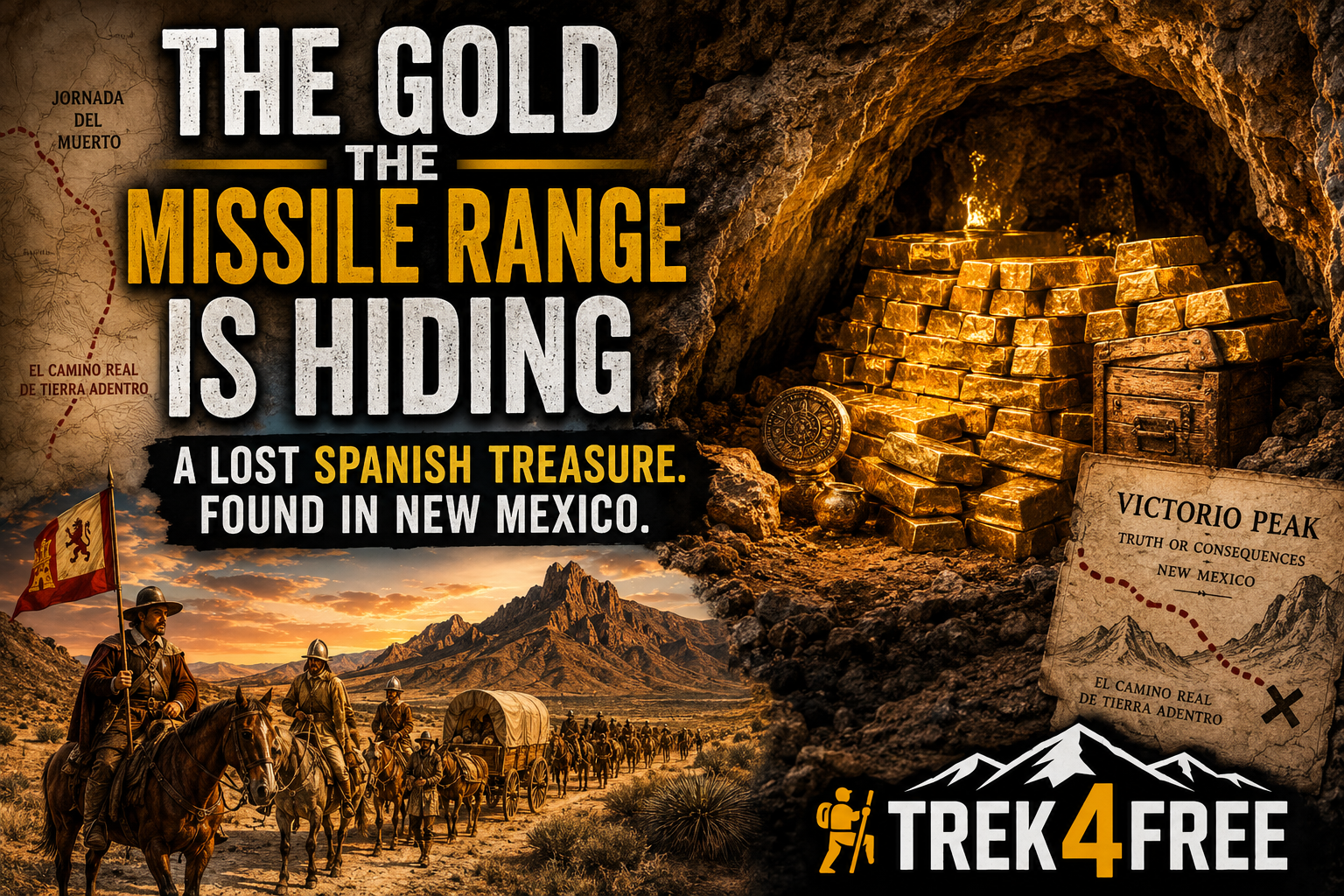
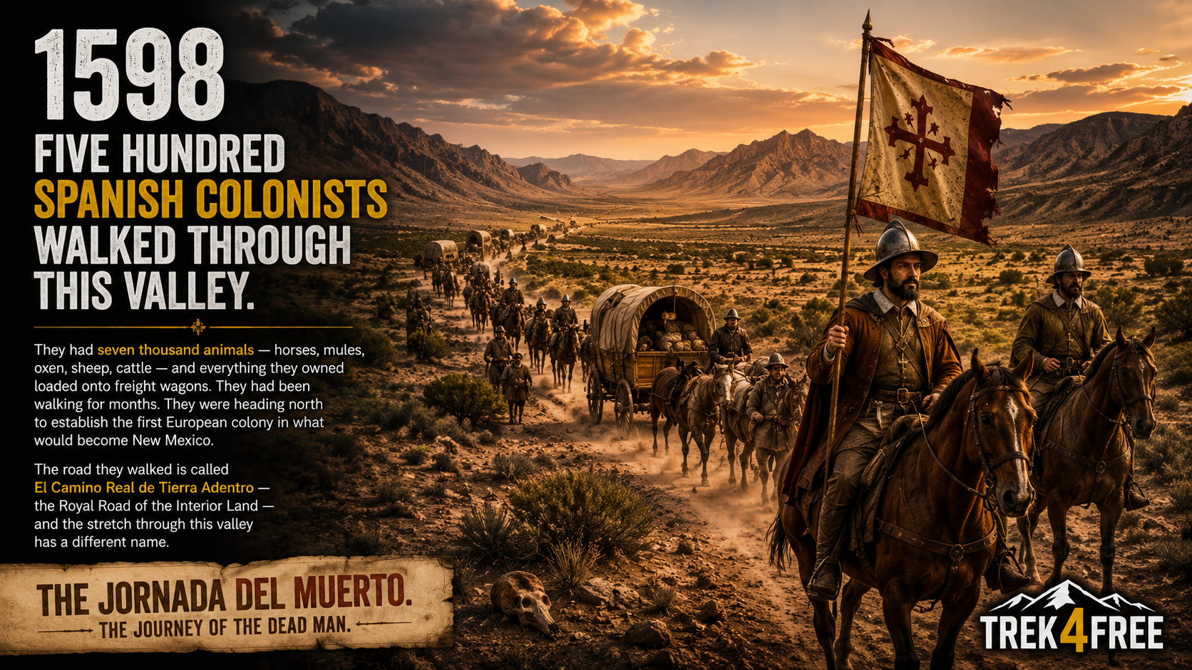
In 1598, five hundred Spanish colonists walked through this valley.
They had seven thousand animals — horses, mules, oxen, sheep, cattle — and everything they owned loaded onto freight wagons. They had been walking for months. They were heading north to establish the first European colony in what would become New Mexico. The road they walked is called El Camino Real de Tierra Adentro — the Royal Road of the Interior Land — and the stretch through this valley has a different name.
The Jornada del Muerto. The Journey of the Dead Man.
Ninety miles of desert with no water. No shade. No mercy. The Spanish named it that because people died crossing it. The wagons left ruts in the ground that are still visible in places today. And near Truth or Consequences, New Mexico, there is a 1.5-mile hiking trail called Yost Draw where you can walk the exact path those colonists walked in 1598.
The Camino Real was the silver highway. Every ounce of ore mined from every mountain in northern New Spain came south on this road toward Mexico City — and then across the Atlantic to Spain. The mule trains loaded with silver bullion traveled this valley for two hundred years.
They were walking right past Victorio Peak.
What a Deer Hunter Found in 1937
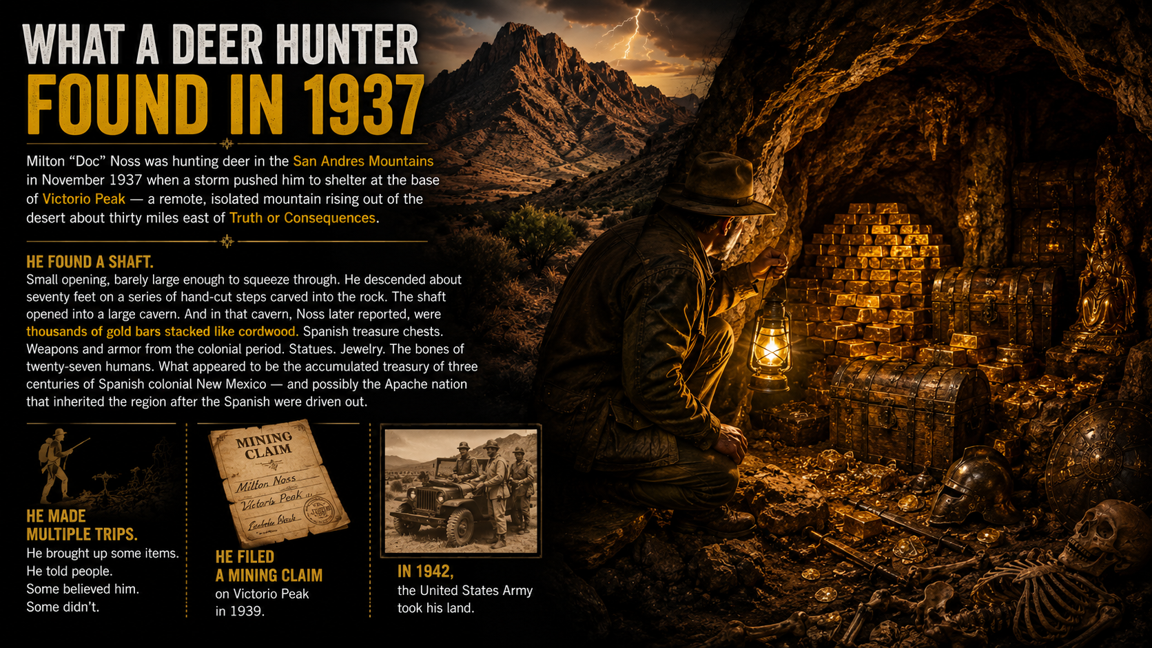
Milton “Doc” Noss was hunting deer in the San Andres Mountains in November 1937 when a storm pushed him to shelter at the base of Victorio Peak — a remote, isolated mountain rising out of the desert about thirty miles east of Truth or Consequences.
He found a shaft.
Small opening, barely large enough to squeeze through. He descended about seventy feet on a series of hand-cut steps carved into the rock. The shaft opened into a large cavern. And in that cavern, Noss later reported, were thousands of gold bars stacked like cordwood. Spanish treasure chests. Weapons and armor from the colonial period. Statues. Jewelry. The bones of twenty-seven humans. What appeared to be the accumulated treasury of three centuries of Spanish colonial New Mexico — and possibly the Apache nation that inherited the region after the Spanish were driven out.
He made multiple trips. He brought up some items. He told people. Some believed him. Some didn’t.
He filed a mining claim on Victorio Peak in 1939.
In 1942, the United States Army took his land.
Why He Didn’t Just Take It
Here is the question people use to dismiss Doc Noss.
If he really found thousands of gold bars, why wasn’t he rich?
Four years before Noss found anything, on April 5, 1933, President Franklin Roosevelt signed Executive Order 6102. It made it a federal crime for American citizens to own gold. Gold coins, gold bullion, gold certificates. Any form. Penalty: up to ten years in federal prison and a $10,000 fine.
Noss found his cave in November 1937. Private gold ownership had been illegal for four years.
He could not go to a bank. He could not sell it. He could not declare it. He could not walk out of the desert with a sack of Spanish gold bars without committing a federal crime.
The one legal path available to him was a mining claim. He filed one in 1939.
Two years later, the Army arrived.
Private gold ownership in the United States did not become legal again until December 31, 1974 — when Gerald Ford signed the repeal. Noss had been dead for twenty-five years by then.
The Missile Range
The Army needed space for testing during World War II. White Sands Proving Ground — later renamed White Sands Missile Range — was established in 1945. It eventually encompassed over three thousand square miles of desert, including the San Andres Mountains.
Including Victorio Peak.
Noss was denied access to his own legal mining claim. He spent years fighting the Army, fighting partners, fighting lawyers. His operation fell apart. In 1949, in a dispute over the treasure with a man named Charley Ryan who had bought an interest in the claim, Noss was shot and killed.
His wife, Ova “Babe” Noss, spent the next thirty years fighting for access to the peak.
She never got it.
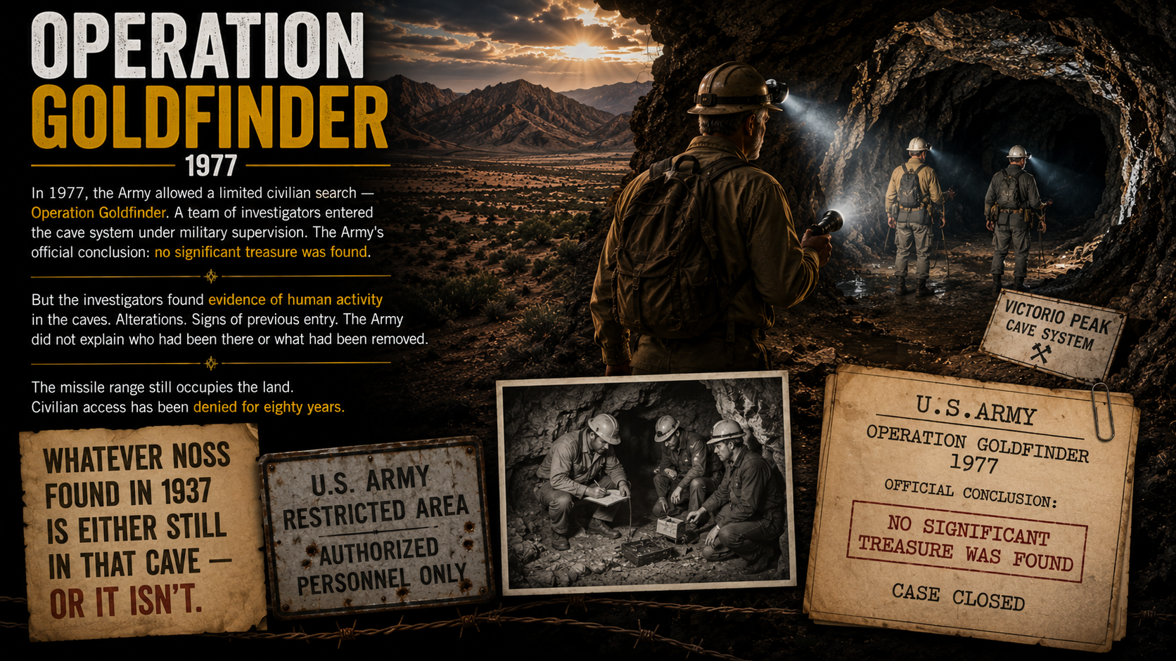
In 1977, the Army allowed a limited civilian search — Operation Goldfinder. A team of investigators entered the cave system under military supervision. The Army’s official conclusion: no significant treasure was found.
But the investigators found evidence of human activity in the caves. Alterations. Signs of previous entry. The Army did not explain who had been there or what had been removed.
The missile range still occupies the land. Civilian access has been denied for eighty years.
Whatever Noss found in 1937 is either still in that cave — or it isn’t.
The Road That Got Here First
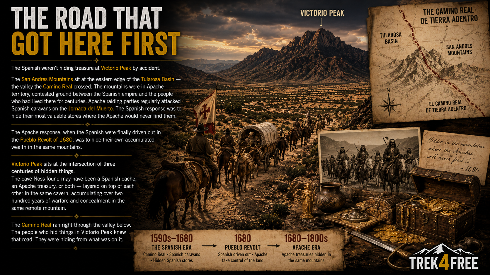
The Spanish weren’t hiding treasure at Victorio Peak by accident.
The San Andres Mountains sit at the eastern edge of the Tularosa Basin — the valley the Camino Real crossed. The mountains were in Apache territory, contested ground between the Spanish empire and the people who had lived there for centuries. Apache raiding parties regularly attacked Spanish caravans on the Jornada del Muerto. The Spanish response was to hide their most valuable stores where the Apache would never find them.
The Apache response, when the Spanish were finally driven out in the Pueblo Revolt of 1680, was to hide their own accumulated wealth in the same mountains.
Victorio Peak sits at the intersection of three centuries of hidden things.
The cave Noss found may have been a Spanish cache, an Apache treasury, or both — layered on top of each other in the same cavern, accumulating over two hundred years of warfare and concealment in the same remote mountain.
The Camino Real ran right through the valley below. The people who hid things in Victorio Peak knew that road. They were hiding from what was on it.
How to Visit
You cannot visit Victorio Peak. The missile range is closed to civilians and that is unlikely to change.
You can visit everything around it.
White Sands National Park — The valley floor. Gypsum dunes unlike anywhere else on earth. Dog friendly with water available. Go early — the basin heats up fast. The dunes glow white in the early morning light in a way that photographs cannot capture.
Yost Draw / El Camino Real Trail — Near Truth or Consequences, NM. 1.5 miles. Free. Walk where the 1598 colonists walked, where the silver mule trains walked, where the wagons cut ruts into the desert floor. Five interpretive signs along the route. The trail ends at an escarpment — the same steep, rocky climb that freight wagons had to negotiate with tons of cargo.
Truth or Consequences, NM — Named after a 1950s game show that offered to broadcast from any town that changed its name. Free camping on the Rio Grande. Hot springs in town that have been in use for centuries. The kind of weird small American town that people who love public land tend to love.
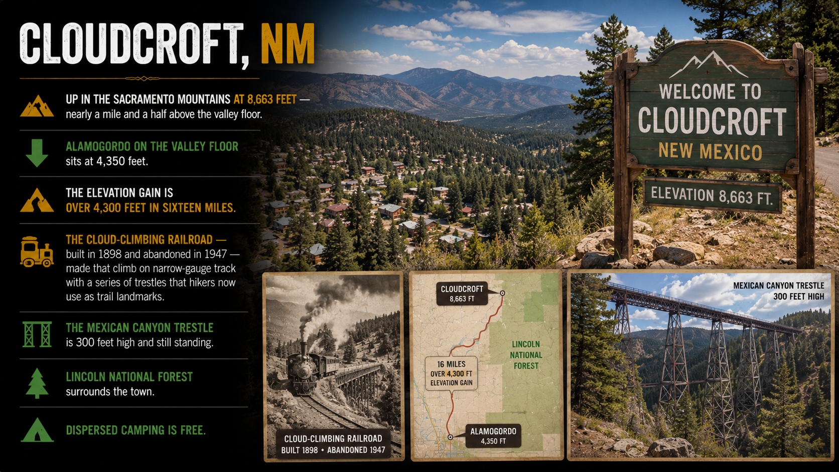
Cloudcroft, NM — Up in the Sacramento Mountains at 8,663 feet — nearly a mile and a half above the valley floor. Alamogordo on the valley floor sits at 4,350 feet. The elevation gain is over 4,300 feet in sixteen miles. The Cloud-Climbing Railroad — built in 1898 and abandoned in 1947 — made that climb on narrow-gauge track with a series of trestles that hikers now use as trail landmarks. The Mexican Canyon Trestle is 300 feet high and still standing. Lincoln National Forest surrounds the town. Dispersed camping is free.
Silver City, NM — An hour west, across the Aldo Leopold Wilderness. Named for the silver mining boom of the 1870s. Billy the Kid grew up here. The Continental Divide Trail passes through the mountains above town. The Gila National Forest and Gila Wilderness are to the north. The whole region is layered in the same mining history that runs east to the San Andres Mountains.
The Map
Trek4Free has Victorio Peak pinned on the explore map. Filter for Historic Mines and you’ll find it sitting inside the missile range boundary — exactly where it is. The pin shows what the USGS records say about what’s there. The Army’s records say something different.
The Yost Draw trailhead is on the map too. It’s a thirty-minute drive from Truth or Consequences.
The two pins are forty miles apart. Everything that connects them is the story above.
→ Find them on the Trek4Free Explore Map
Trek4Free Still Out There Series
- What You’ve Walked Past — Spanish Silver, Lost Mines, and What They Look Like →
- The Pirate, the Frontiersman, and the Lost Texas Silver Mine →
- Three Ships, One Storm, and the Coins That Still Wash Up →
- The Lost Adams Diggings — coming soon
- Colossal Cave and the Wells Fargo Silver — coming soon