Three Ships, One Storm, and the Coins That Still Wash Up
Three Ships, One Storm, and the Coins That Still Wash Up
The signs at the entrance to Padre Island National Seashore say metal detectors are prohibited. Read that closely. Not “please leave your metal detector at home.” Not “metal detectors discouraged.” Prohibited — the same federal protection category as removing shells or taking driftwood.
They don’t put that sign up without a reason.
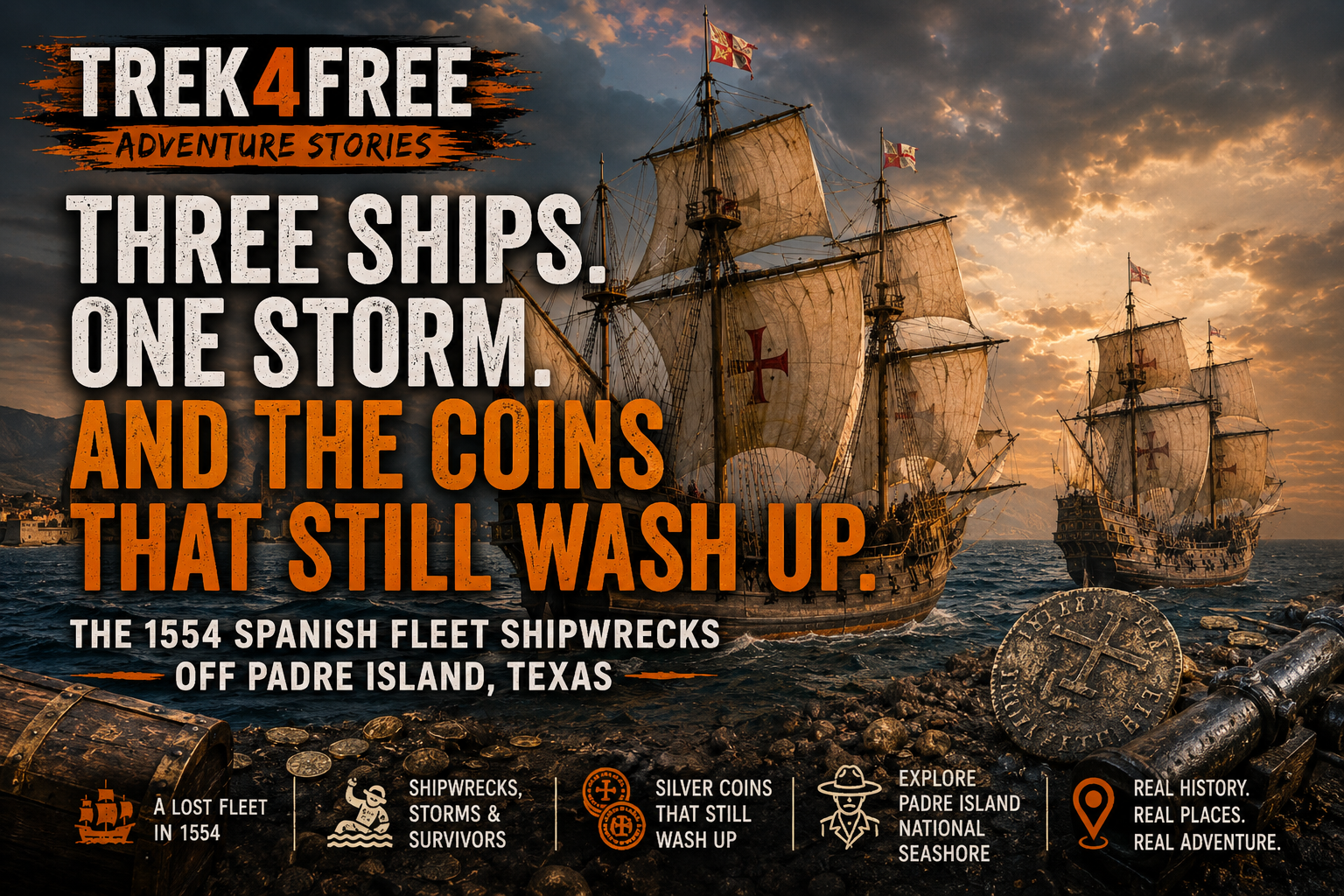
The reason is three Spanish galleons sitting in forty feet of water about a mile offshore. The San Esteban, the Santa María de Yciar, the Espíritu Santo — loaded with silver bars, gold coins, and the accumulated cargo of New Spain, bound for Seville in the spring of 1554. They never arrived. The cargo is still out there. After bad storms, some of it washes up on the beach.
The beach is open to the public. Free. No reservation.
New Spain, Spring 1554
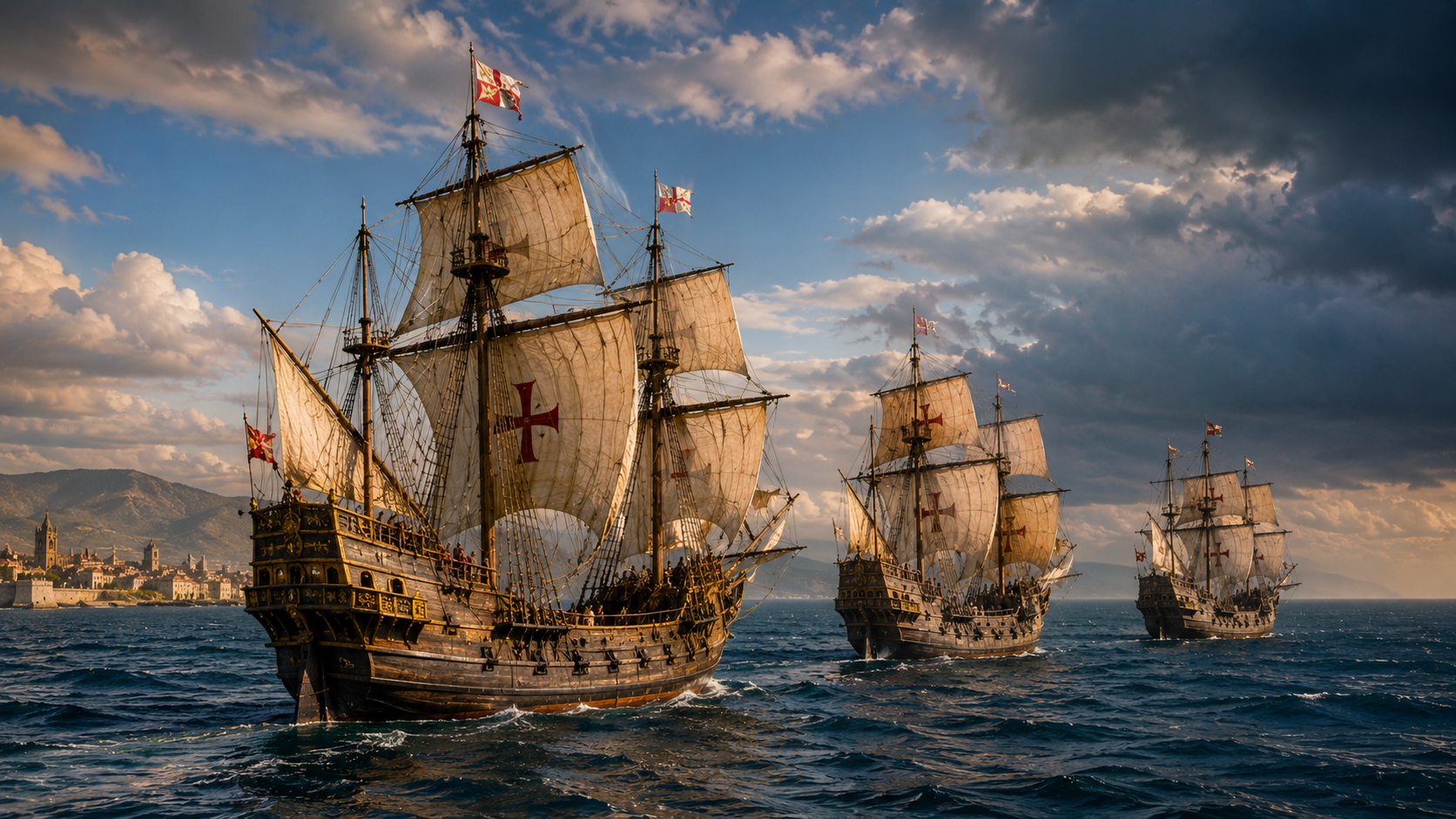
Spain’s empire in the New World ran on a simple mechanism: extract wealth from the Americas, ship it to Seville, fund the Crown and the Church. The treasure fleet system — the flota — was the pipeline. Ships would gather at Veracruz on the Gulf of Mexico, load the silver and gold accumulated over the previous year, and sail together across the Gulf and through the Florida Straits for Spain.
In the spring of 1554, three ships prepared to leave Veracruz: the San Esteban, the Santa María de Yciar, and the Espíritu Santo. A fourth ship, the San Andrés, sailed with them. Together they carried several hundred passengers and crew, and holds loaded with silver — bars, ingots, and coins bearing the assay marks of New Spain’s mints — along with personal property, trade goods, and religious objects. The combined cargo represented a full year’s extraction from the mines of Mexico, bound for the Spanish treasury.
They were following a route Spanish navigators had used for decades. The Gulf of Mexico is a manageable crossing in calm weather. In April, hurricane season hadn’t technically started yet.
April 29, 1554
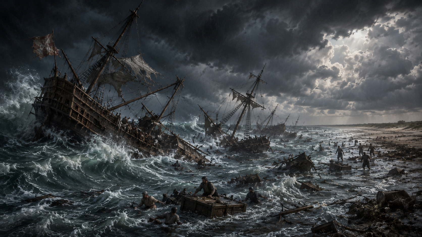
The storm found them before they cleared the Gulf.
Exactly what it was in modern terms — how fast the winds, how high the surge — the surviving records don’t say with precision. What they document is the outcome. On April 29, 1554, the storm drove three of the four ships onto the barrier islands of what is now South Texas. The San Andrés survived by luck or navigation and eventually made port. The San Esteban, the Santa María de Yciar, and the Espíritu Santo were destroyed on the coast.
The Spanish called this stretch of coast the Isla Blanca — the White Island. It’s Padre Island now. The barrier island runs ninety miles along the Texas Gulf Coast, and in 1554 there was nothing on it. No town. No road. No help. The nearest Spanish settlement was Pánuco — modern Tampico, Mexico — approximately 500 miles to the south, on the other side of the Rio Grande.
Roughly three hundred people made it to the beach alive.
The Beach March
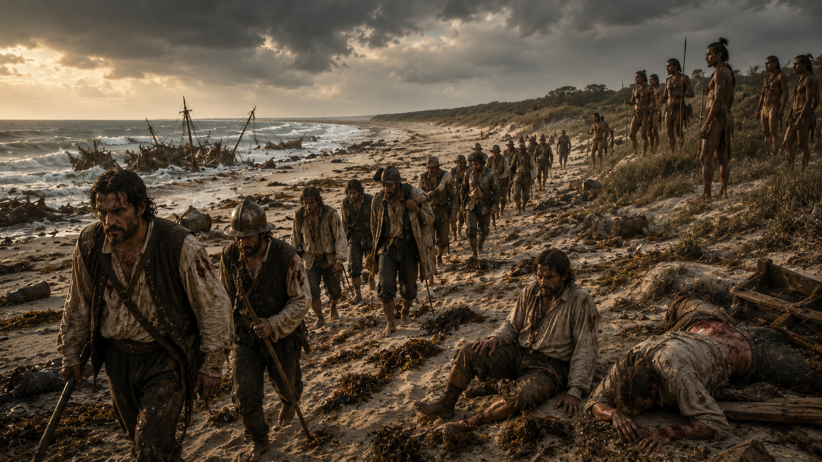
What followed the wreck became its own story — one of the most documented early disasters on the North American continent, recorded because a handful of survivors eventually made it back to Spanish settlements and gave testimony.
The Karankawa people had inhabited this stretch of Gulf Coast for thousands of years. They were tall, tattooed, and not interested in newcomers. Spanish accounts from the survivors describe violent encounters along the march south. The historical record — and it should be noted that what survives is entirely the Spanish side of it — describes most of the survivors who attempted the walk being killed before they reached the Rio Grande.
Of the estimated three hundred who made it ashore, fewer than a hundred completed the journey to Pánuco. The rest died on the beach or along the march — from exposure, thirst, wounds, or conflict with the people whose coast they were walking through.
The silver stayed where it was.
The Salvage
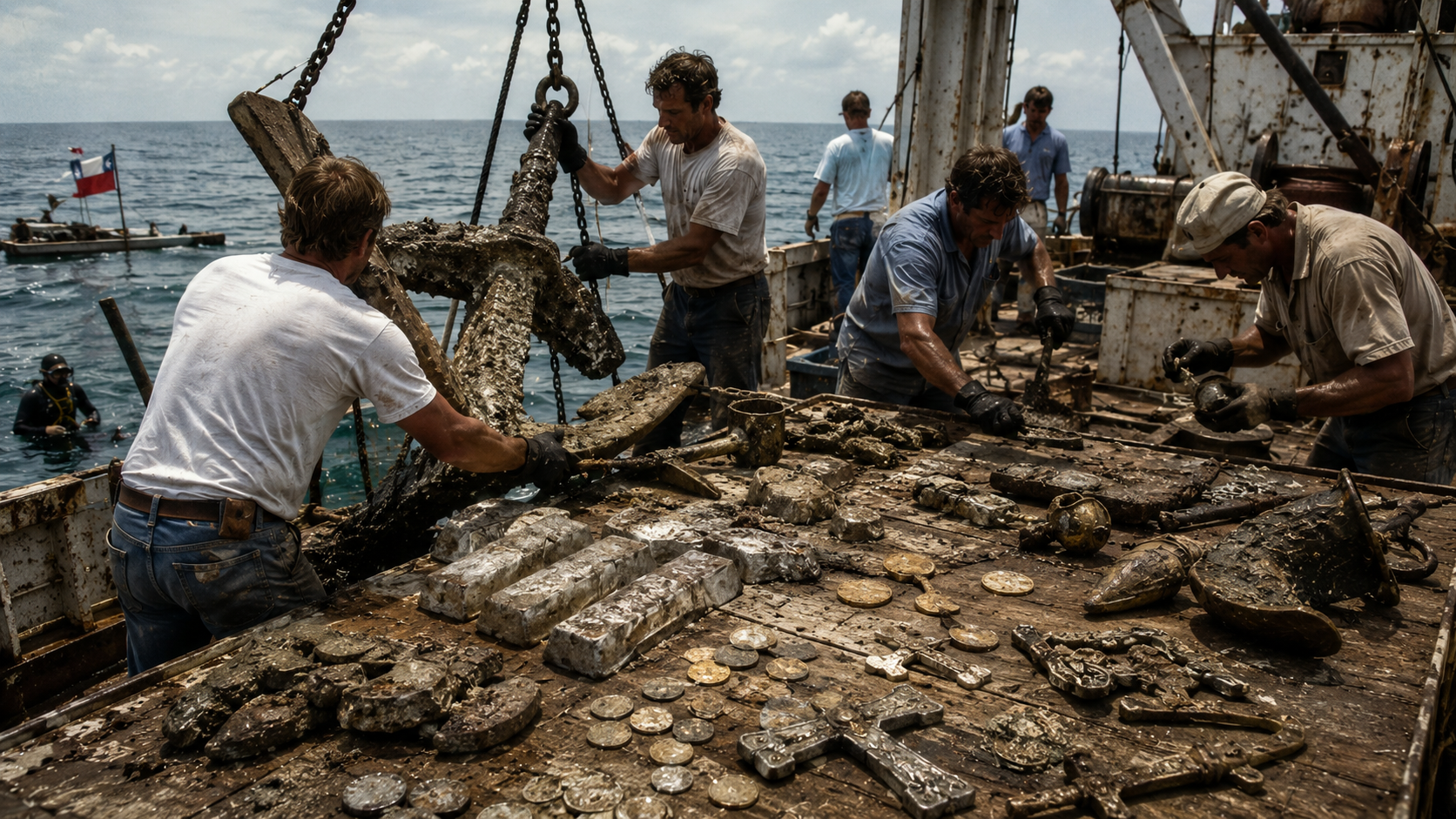
Spain did not leave three ships full of silver sitting on the bottom without making an attempt to recover it.
Within months of the disaster, a salvage fleet organized by Ángel de Villafañe reached the site. The salvors worked the wrecks in the conditions of the mid-1500s — no SCUBA, no submersibles, breath-hold diving in forty feet of water off an exposed barrier island. By some accounts they recovered a significant portion of the silver — bars and coins that could be reached in the relatively shallow water close to shore.
What they couldn’t reach stayed.
The wrecks shifted with the currents over the years. Sand covered them. The Spanish settlements moved further south. Within a generation, the location of the three ships was general knowledge only in the sense that everyone knew three ships had wrecked somewhere off the Texas coast — not where, exactly, and not what remained.
For the next four hundred years, the wrecks were lost.
1967
Commercial salvors working off the Texas coast in the late 1960s located artifacts consistent with 16th-century Spanish shipwrecks. Platoro Ltd. began recovering materials without state authorization.
The State of Texas sued. The case established something important: Texas owns shipwrecks in its waters, and the artifacts they contain belong to the public. The legal battle that followed was part of what drove the Texas Antiquities Code of 1969 — one of the earliest American laws protecting submerged cultural heritage.
The recovered artifacts from the 1554 fleet — cannons, anchors, silver bars, personal items, religious objects, and coins — went to the Corpus Christi Museum of Science and History. They’re still there. The museum sits on Corpus Christi Bay, and the 1554 collection is on permanent display.
If you want to hold a piece of the story in your mind before you drive down to the beach, start there.
What’s Still Out There
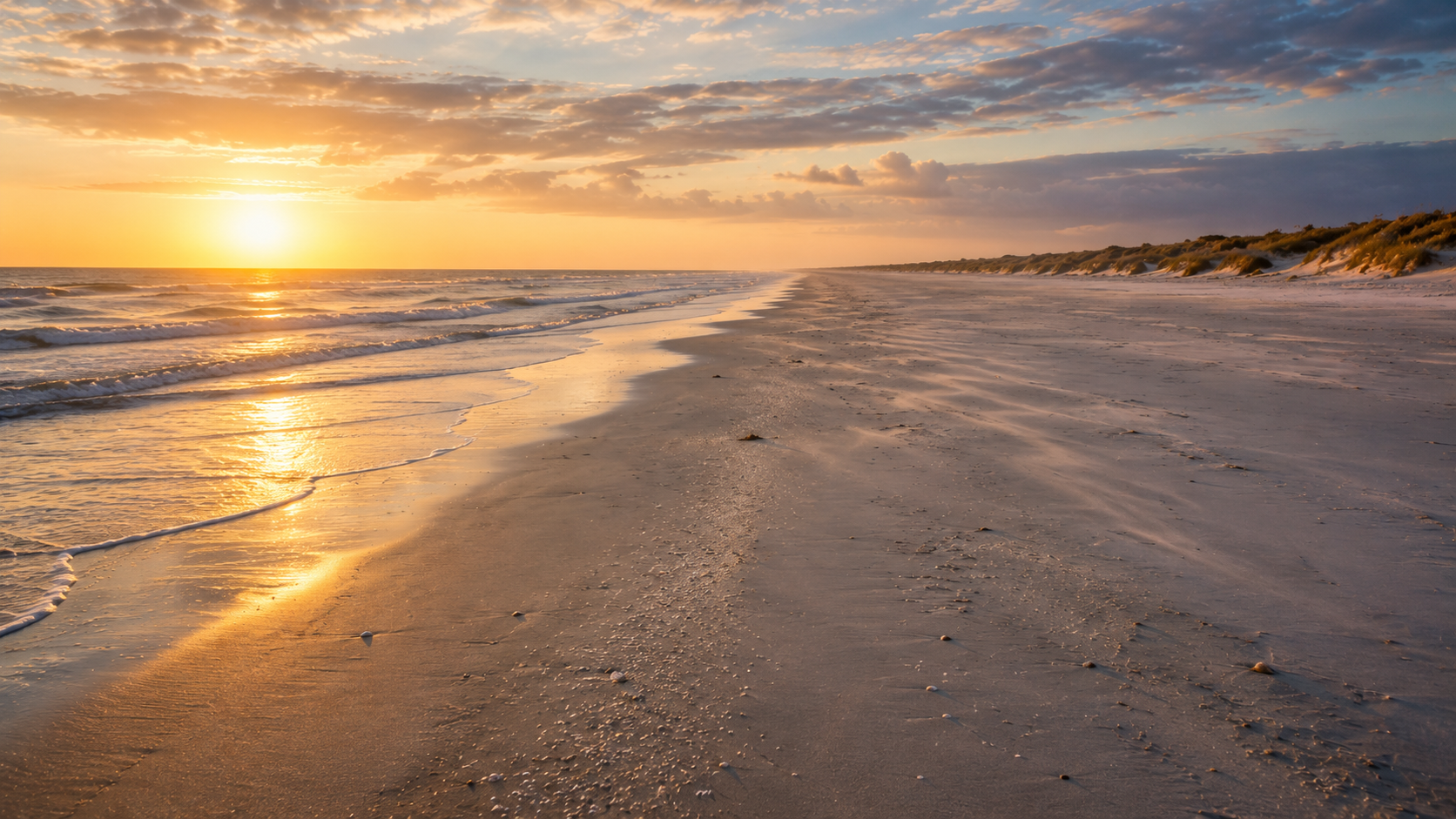
The three wreck sites are within Padre Island National Seashore’s protected boundaries — in the Submerged Cultural Resources zone, which is why the metal detector prohibition exists and why the NPS takes it seriously. The precise locations aren’t mapped in any publicly available document. The NPS has been deliberate about that.
After major Gulf storms, silver coins from the 1554 fleet wash onto the beach. This is documented, not legend. Storm action moves sand on the Gulf floor and occasionally exposes and transports coins that have been sitting there for 470 years. The coins are distinctive — Spanish reales with the assay marks and dates of New Spain’s mints, not something you mistake for a bottle cap.
Picking one up is a federal offense. Worth knowing before you get excited about a sunrise beach walk after a hurricane.
The beach itself — the north beach at Padre Island National Seashore — is open, free, and driveable on the Gulf side. The park charges a vehicle entry fee at the Malaquite Visitor Center; north of the visitor center the beach extends into primitive four-wheel-drive territory, sixty miles of undeveloped Gulf coast. The longest stretch of undeveloped barrier island in the United States.
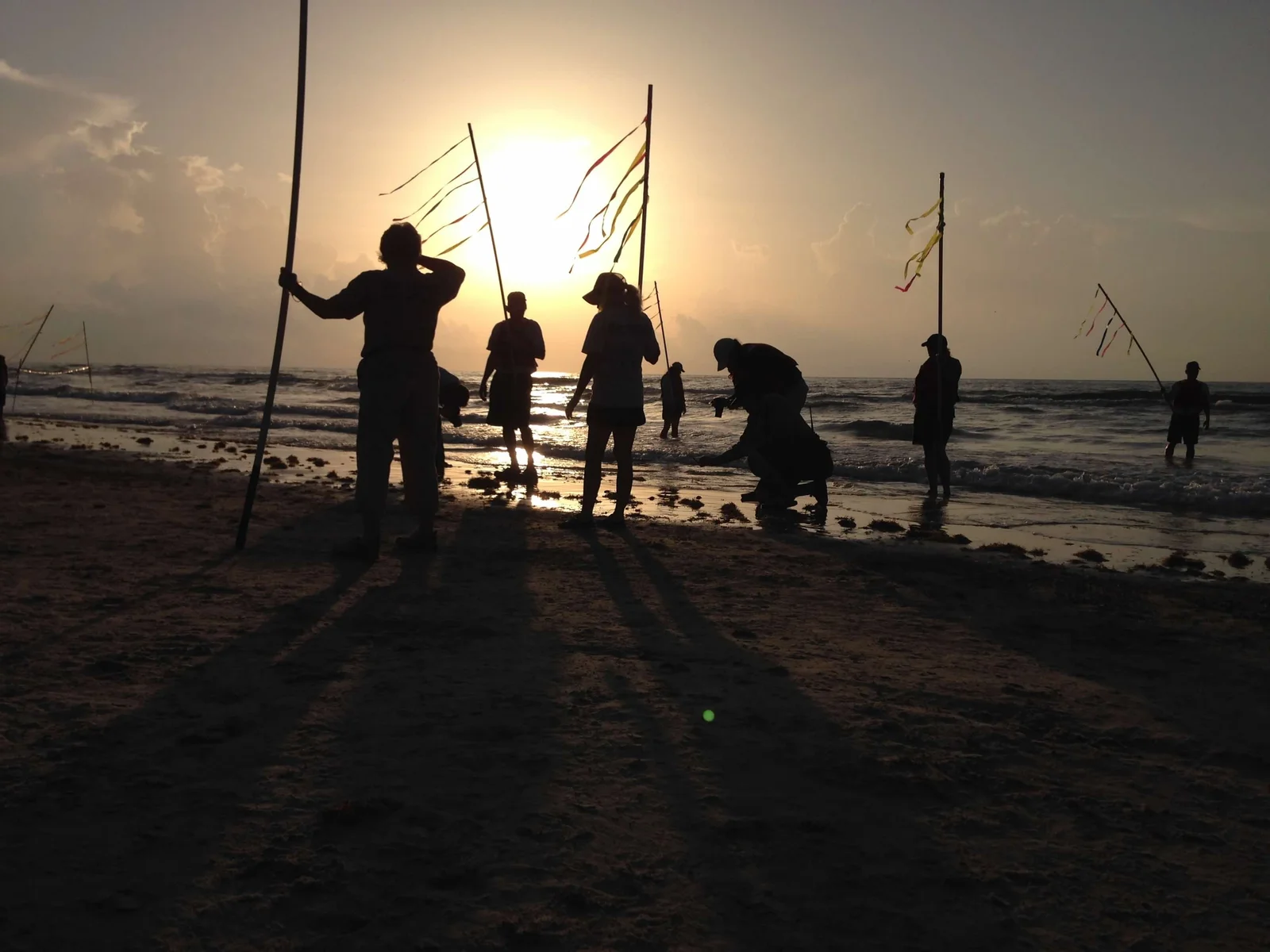
Walk north. Look down. After any significant Gulf weather, the storm-exposed sand is worth examining slowly.
The Airspace
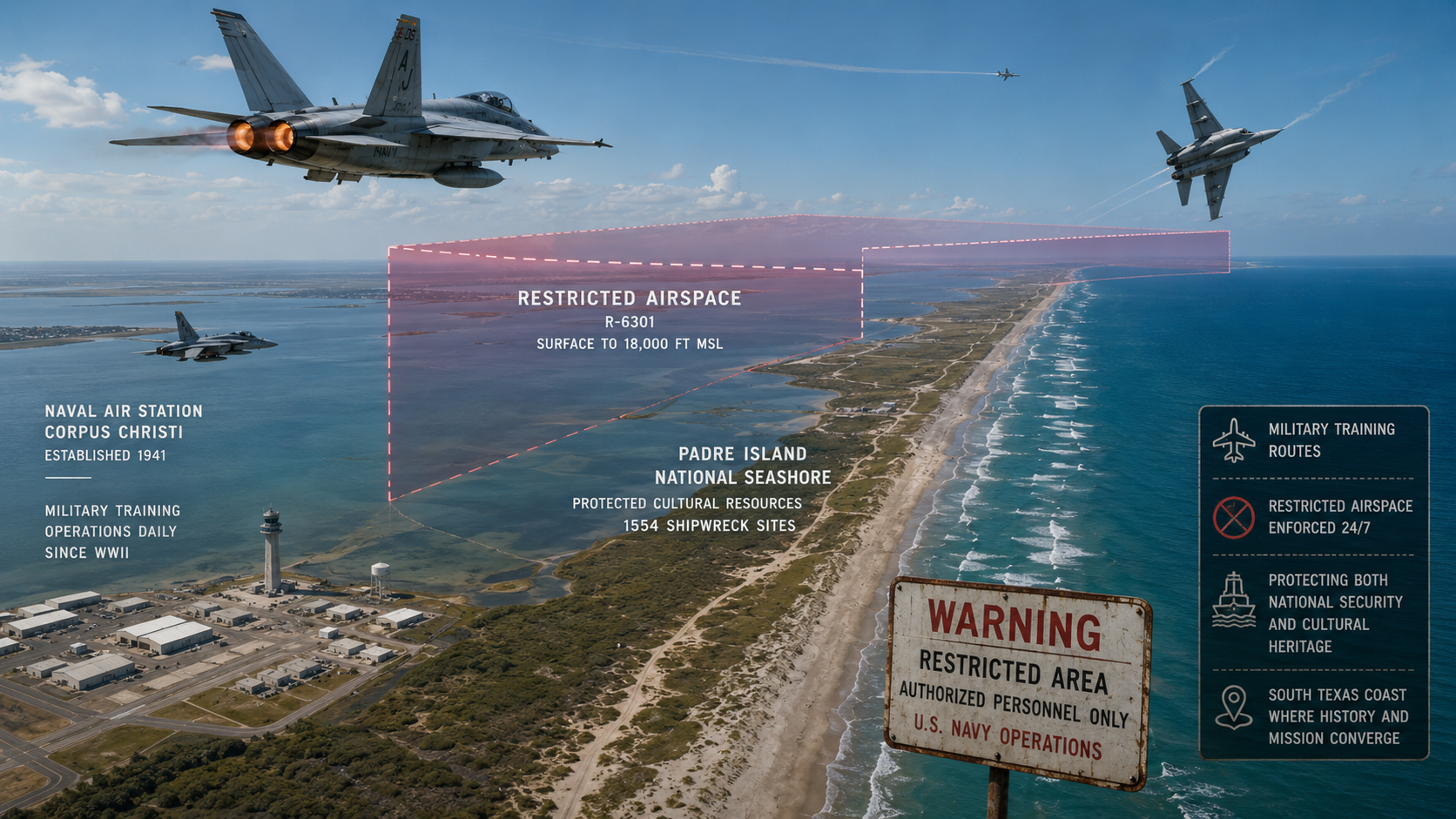
One detail that doesn’t appear in the national seashore’s tourist literature: portions of the airspace over and around Padre Island National Seashore fall within restricted operating zones of Naval Air Station Corpus Christi. The Navy has trained pilots here since World War II. Restricted airspace over a barrier island with historically significant shipwrecks generates a certain amount of speculation.
The practical reality: it’s a military training installation sitting next to a protected federal archaeological site. Both things are true simultaneously. The speculation is understandable. Whether it means anything beyond the obvious — a Navy base existing near a national seashore — is a question the historical record doesn’t answer.
The Thread
Three connected stories, one stretch of Texas coast and Hill Country.
Jean Lafitte ran his privateering operation from Galveston Island — the northern anchor of this coastline. When he abandoned Campeche in 1821, he sailed south through the same barrier island passes the 1554 fleet had wrecked on 267 years earlier. Gold cached somewhere along this coast is the persistent tradition from Galveston to Rockport. The full story: The Gunmaker, the President, and the Pirate →
Jim Bowie made his fortune working with Lafitte’s Gulf Coast network, then moved west into the Hill Country to find a silver mine the Spanish missionaries had worked and the Lipan Apache protected. He fought 160 warriors to survive that expedition and died at the Alamo before he could go back. The mine has never been found. The full story: The Pirate, the Frontiersman, and the Lost Texas Silver Mine →
The 1554 fleet is the oldest layer — 230 years before Lafitte, 277 years before Bowie’s Battle of Calf Creek. Three ships loaded with the wealth of New Spain, sitting in forty feet of water off the same barrier island coast where the pirate operated and where a president and a gunmaker went looking for buried gold.
Three centuries of treasure. The same coastline. Everything within a tank of gas from San Antonio.
You don’t have to go to the Caribbean to chase pirates. You don’t have to go to the Yucatan to find a lost mine. It’s all here. It always was.
The Expedition
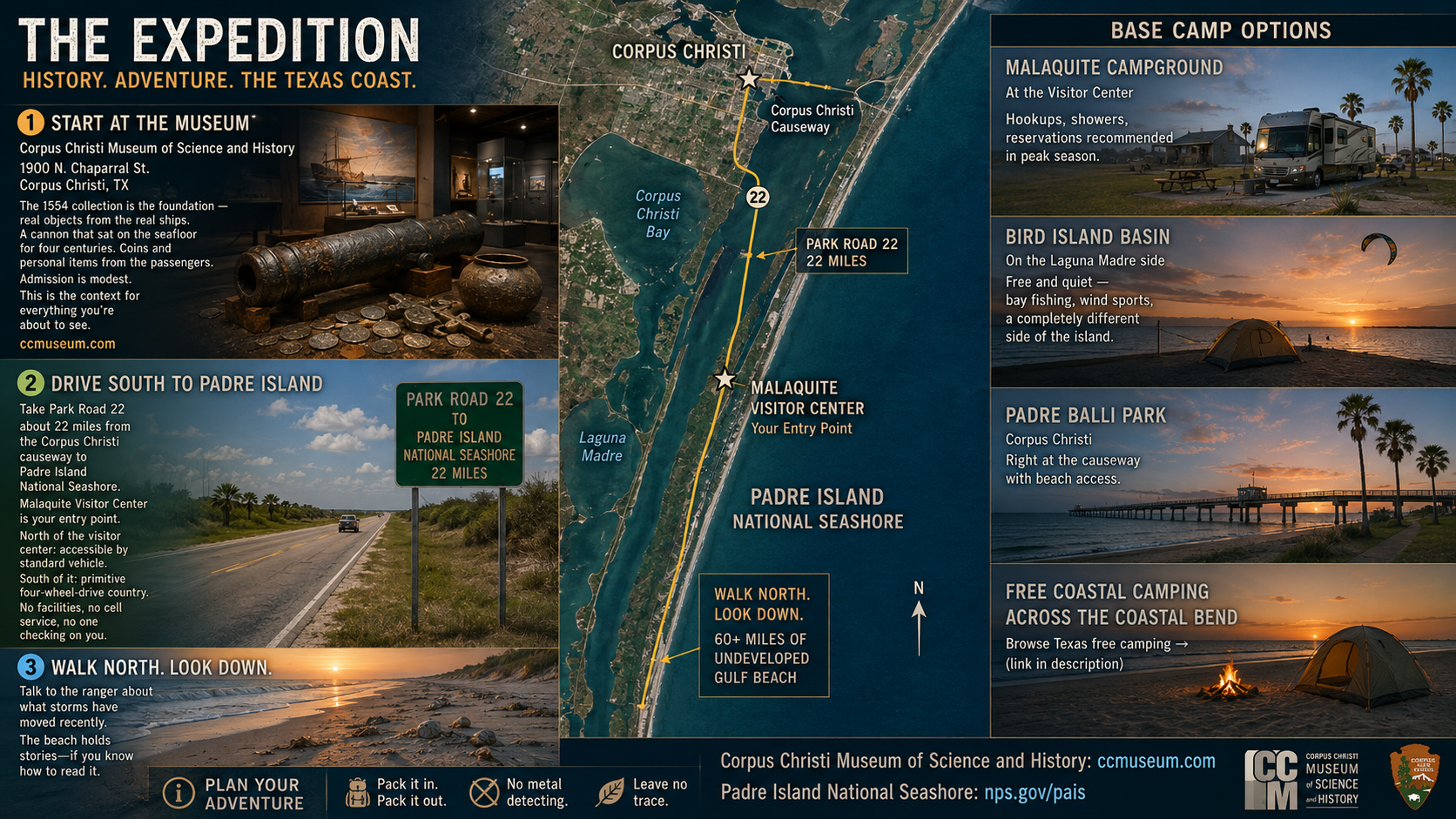
Start at the Corpus Christi Museum of Science and History. The 1554 collection is the foundation — real objects from the real ships, a cannon that sat on the seafloor for four centuries, coins and personal items from the passengers. The museum is on the Corpus Christi bayfront at 1900 N. Chaparral St. Admission is modest. This is the context for everything you’re about to see.
Drive south on Park Road 22 — about 22 miles from the Corpus Christi causeway — to Padre Island National Seashore. The Malaquite Visitor Center is your entry point. The beach north of the visitor center is accessible by standard vehicle. South of it is primitive four-wheel-drive country. No facilities, no cell service, no one checking on you.
Walk north. Look down. Talk to the ranger about what storms have moved recently.
Base camp options:
The national seashore has Malaquite Campground at the visitor center — hookups, showers, reservations recommended in peak season. For primitive camping, Bird Island Basin on the Laguna Madre side is free and quiet — bay fishing, wind sports, a completely different side of the island.
On the mainland, Padre Balli Park in Corpus Christi puts you right at the causeway with beach access. For free coastal camping across the Coastal Bend: browse Texas free camping →
Corpus Christi Museum of Science and History: ccmuseum.com Padre Island National Seashore: nps.gov/pais
All three Texas treasure sites connect to real outdoor destinations. The Padre Island coastline: Padre Island National Seashore. The Lamar Peninsula: The Gunmaker, the President, and the Pirate. The Hill Country silver mine: The Pirate, the Frontiersman, and the Lost Texas Silver Mine. More in the Indiana Jones meets Regular Joe series: Grand Canyon · Lovelock Cave · Mound Builders.