Killing Cabin Fever on the Appalachian Trail
Killing Cabin Fever on the Appalachian Trail
I woke up Sunday morning with a smile and knew I had to do it.
Visions of a five-day Appalachian Trail section hike had been rattling around in my head for weeks. Early spring in Virginia. Snow still possible. The weather guy, however, had just declared a high-pressure system sitting over the Northeast all week — clear skies, dry trail, no excuses.
I had thirty minutes of planning and two hours of gear-gathering before Polly even finished her coffee.
The Plan
Here’s what I actually said to Polly when I told her what was happening: not much. I don’t think I gave her a lot of time to process it. She must have seen the gleam in my eye because she decoded my ramblings with something approaching an enigma machine and just made me another cup of coffee while I plotted a route.
The logistics issue was the shuttle. Solo backpacking a point-to-point section means you need a car at both ends, and I only had one car. Polly offered — without hesitation — to drop me at the start, drive home, and come pick me up at the far end whenever I got there.
That’s the kind of co-pilot you want.
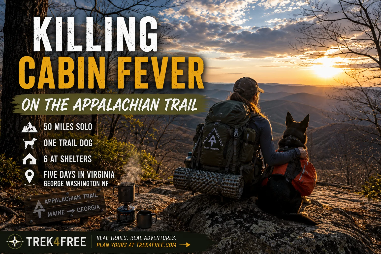
The route: southbound on the AT in Virginia, starting where the trail crosses US 60 near Buena Vista. Fifty miles through the George Washington National Forest to my pickup near Amherst. Five days, roughly ten miles per day, with AT shelters spaced almost perfectly along the route.
In order:
- Paul C. Wolfe Shelter — first night, ~10 miles from the US 60 trailhead
- Maupin Field Shelter — deep in the GW forest, good water, quiet
- Harpers Creek Shelter — sits above one of the better swimming holes on the Virginia AT
- Seeley-Woodworth Shelter — midway push
- Cowcamp Gap Shelter — high and exposed, the kind of place where weather makes itself known
- The Priest — the finale
More on The Priest in a moment.
The AT shelters in Virginia are well-maintained three-sided structures — wood, usually a metal roof, a sleeping platform, and a nearby water source. They’re free. You don’t need a reservation for most of them. They are, for the solo backpacker without a five-star gear budget, the best infrastructure in the woods.
Polly nodded at the plan, confirmed she didn’t mind the drive, and asked one reasonable question: what if I didn’t make it to the pickup point on time?
I spent the next ten minutes walking her through contingencies, including the part where she’d need to book a hotel if she got there before me and had to wait overnight. I was more worried about her sitting alone in a car at a remote trailhead than I was about anything that might happen to me on the trail.
We had a plan. My route was solidified.
The Gear Situation
I need to be honest about something.
I laugh at the guy who spends a thousand dollars on ultralight gear before their first solo adventure. Titanium sporks. Carbon fiber tent poles. A sleeping pad so thin it’s basically a rumor. I’ve always thought that was overkill.
So I laid out everything I figured I’d need for five days and packed it all into my old dome tent, heavy sleeping bag, and a worn external-frame pack. The dog needed her own supplies — food, bowl, heavy sleeping bag buffer because Lacy is not a fan of being cold — and I added extra propane for the camp burner to make hot drinks in the early-spring chill.
Once everything was in its place, I lifted the pack.
Several expletives followed.
Out of morbid curiosity, I weighed it.
Sixty pounds.
I didn’t drop any weight. I just decided I was going to build character for five days.
Day One: US 60 to Paul C. Wolfe
We drove to Mountain View Wayside, where the AT crosses US 60 in the mountains above Buena Vista. We arrived at dusk and spent the night in the van — better to start fresh at dawn than hit the trail tired. I set the alarm. Lacy woke me up before it.
She was barking at a stray dog that had wandered to the van in the dark to pee on the tire.
Not a bear. A stray dog. Peeing on my tire.
This was a sign of things to come.
While I had everyone awake at 5 AM, I figured I’d check the weather — a precaution, really, since I’d already heard the forecast. High pressure all week. Nothing to worry about.
66% chance of rain Tuesday and Wednesday. Snow Thursday and Friday.
I stared at my phone for a while.
I needed ten miles a day to make my pickup. Snow on the back half of the route — above treeline, at elevation, with a sixty-pound pack — could slow me down enough to miss Polly entirely. I thought about calling it. Driving home. Coming back in a better weather window.
I started hiking anyway.
What the Trail Taught Me About Pack Weight
The first few miles from US 60 go almost straight up. The Virginia AT in this section climbs hard out of the valley, through open ridgeline, into the George Washington National Forest proper. It is not a gentle warm-up.
By mile two I understood what sixty pounds actually means on an incline. By mile four I had revised my opinion of ultralight gear completely.
The trail running shoes — my usual preference — held up fine underfoot but my arches were already talking to me. A more supportive boot would’ve been smarter under the load. The propane system was heavy and I was already planning to replace it. The tent, while familiar and comfortable, was adding pounds I didn’t need.
I was running a training exercise in my head the whole way up. Next time: lighter pack. Next time: trail boots. Next time: plan more than thirty minutes in advance.
The upside: water is easy on this section. The AT shelters in central Virginia are almost all built near reliable springs or streams. I carried purification tablets and a small camp burner — hot coffee and instant soup made the evenings actually pleasant. When the weather is cold and you’ve been moving all day, something hot is not a luxury. It’s the thing that makes the whole enterprise feel like camping and not suffering.
I made Paul C. Wolfe Shelter before dark. The shelter sits in a quiet section of the forest — three sides, sleeping platform, a nearby spring that was running clear. I set up, cooked, boiled water for the morning, and hung the food bag.
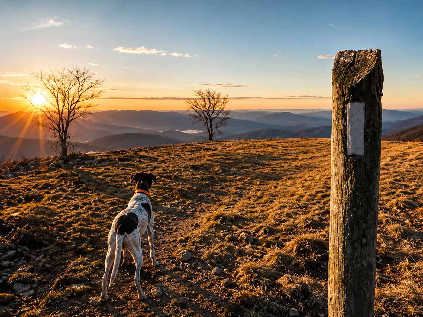
Then Lacy claimed the sleeping bag.
Night One: Owls, Coyotes, and the Limits of Solo Camping
Here is what I want you to understand about sleeping alone in a tent in the Virginia mountains in early spring.
It is extremely quiet.
So quiet that every sound is enormous. So quiet that two owls having what I can only describe as a very enthusiastic midnight encounter in the tree directly above my tent were basically amplified to concert volume.
I am not making this up. Two owls. Right above me. Doing the hoopity-doopity with zero regard for the fact that a man and a dog were trying to sleep eight feet below them. I lay there listening, then laughing, then finally drifting off — only to be woken up by Lacy growling low in her chest.
I went still.
Outside the tent: the unmistakable sound of something large moving in the dark. A long, low howl from just beyond the tree line.
Wolf, my brain said.
Coyote, my logic answered.
We lay perfectly still and listened to it howl at the moon from what I generously estimated to be my front porch. It eventually moved toward the spring — probably just there for a drink — and the forest went quiet again. Lacy and I had a quiet conversation about whether we were going to acknowledge how close that was. We decided we weren’t.
I was very glad I had the dome tent and not the ultralight tarp bivy I had briefly considered.
Day Two: The Text
Morning came crisp and cold. Lacy had claimed about 70% of the sleeping bag through the night. I made coffee, watched the sun hit the ridge, and felt — genuinely — like the whole thing had been worth it.
We climbed to a clear mountaintop where I could see a cell tower. I turned the phone off airplane mode to check the updated weather.
There was a text from Polly.
Not about weather. There had been an attempted break-in at home while I was gone. She was safe, but she needed me back.
I packed up, turned around, and hiked out.
The Priest: What I Was Heading For
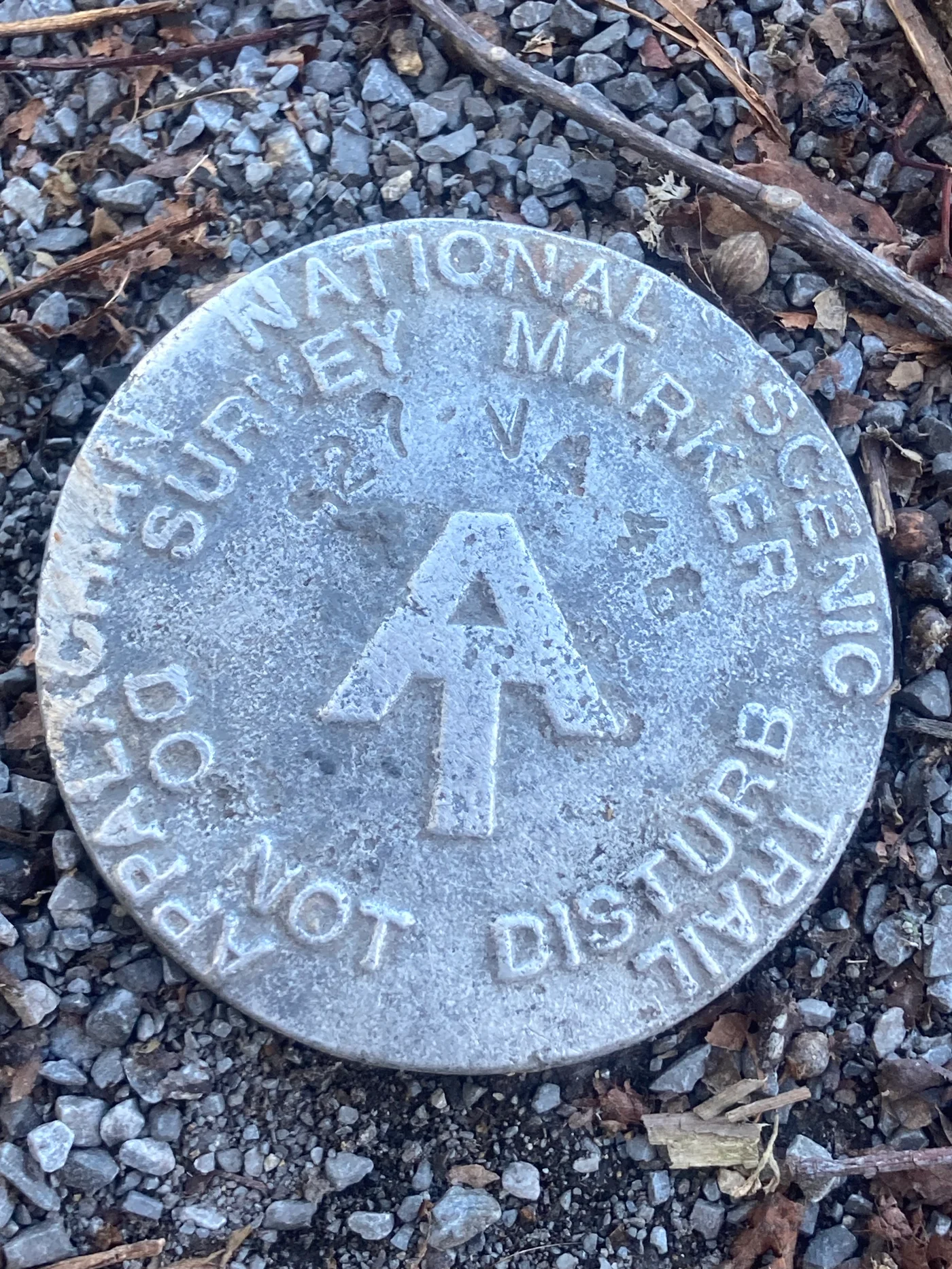
I want to tell you about The Priest anyway, because it’s the reason this section of the AT is worth knowing about — whether you complete it or not.
The Priest is a 4,063-foot peak in central Virginia, one of the most distinctive climbs on the entire Appalachian Trail. Coming northbound, you ascend roughly 3,000 feet in four miles from the Tye River valley — one of the steepest sustained climbs on the trail. It earns its name. Hikers who survive the ascent find a shelter at the top with a metal box bolted to the wall. Inside the box is a journal.
The tradition is to write your confession.
Not religious confession. Trail confession. The things you said about this mountain on the way up. The words that came out of your mouth on switchback eleven when the pack felt like a bad idea and the summit seemed fictional. Thru-hikers leave full pages. Day hikers leave single lines. Everyone who makes it to The Priest shelter has something to confess.
I was heading there. I didn’t make it that time.
The Priest is still on the list.
What “Failed” Trips Actually Are
The trip was two days instead of five. I covered maybe eighteen miles instead of fifty. I went home to deal with a break-in instead of standing on top of a mountain writing confessions in a metal box.
It was still a success.
Lacy and I cured the cabin fever. I learned exactly what sixty pounds feels like over sustained elevation gain. I slept under owls and survived a coyote serenade. I saw the Virginia ridge at dawn in early spring when the trees are still bare and the light comes in low and golden through the gaps.
That’s what the trail gives you when you show up, even imperfectly, even with a weather forecast that lied to your face.
The Priest is a future article. Polly’s going with me next time, and she’s going to have something to confess about the weight of her pack too.
Planning Your Virginia AT Section
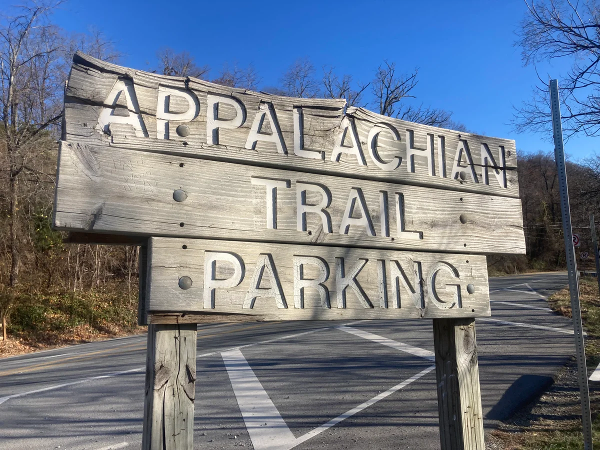
The section: US 60 (Mountain View Wayside, near Buena Vista) southbound through George Washington National Forest to the Tye River area. About 50 miles total.
Shelters: All free, first-come. Water at or near each shelter — bring a filter or tablets as backup. No camping fee, no reservation required for dispersed camping in the GW forest corridor.
Permits: None required for AT shelters in this section. No backcountry permit needed for George Washington National Forest.
The Priest: Budget an extra half-day for the ascent if you’re coming from the south. Seriously. The elevation gain is not a rumor. Write something in the journal when you get there.
When to go: Late April through early June for wildflowers and moderate temps. October for fall color. Avoid peak summer weekends if you want the shelters to yourself.
Find AT trailheads and shelters near this section on Trek4Free →
Before You Hit the Trail
These are affiliate links — we appreciate your support, no extra cost to you.