The John Muir Trail: 211 Miles Through the Heart of the Sierra
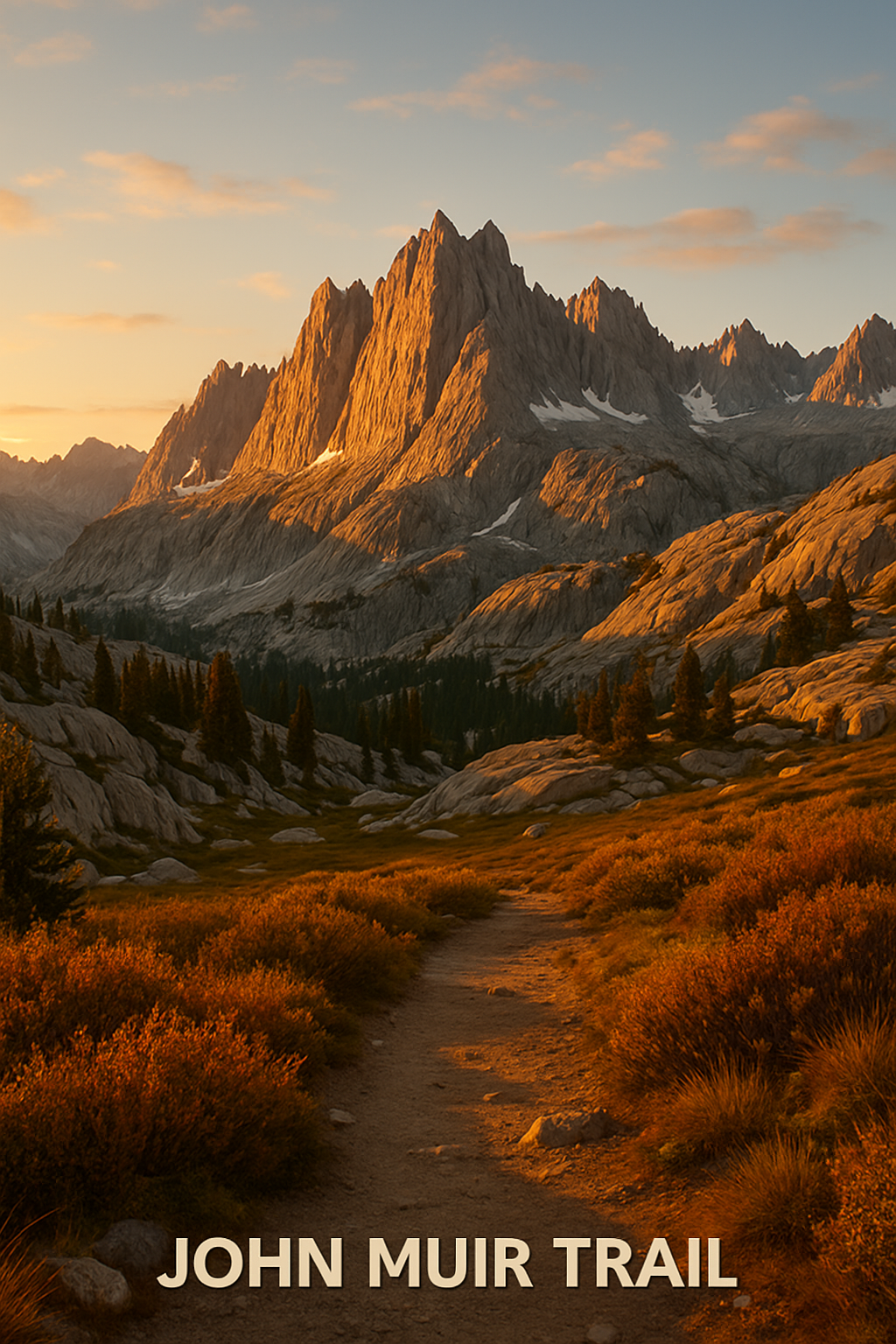
The John Muir Trail: 211 Miles Through the Heart of the Sierra Nevada
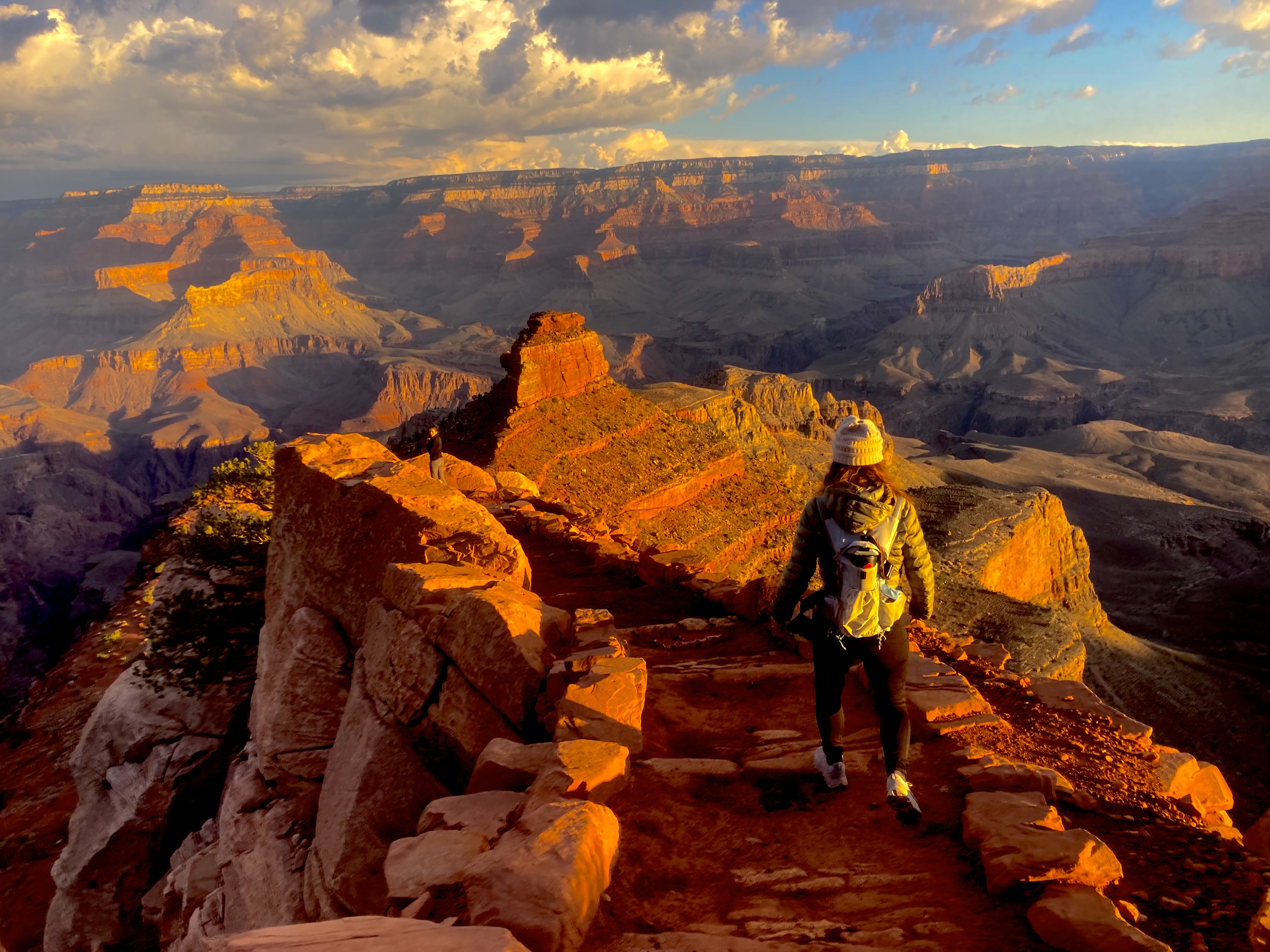
John Muir walked these mountains in the 1870s and called the Sierra Nevada “the Range of Light.” Two hundred miles of granite, glacier-carved lakes, 13,000-foot passes, and alpine meadows. The John Muir Trail runs through all of it — from the floor of Yosemite Valley to the summit of Mount Whitney, the highest point in the contiguous United States at 14,505 feet.
It is, by most accounts, the finest long-distance hike available anywhere in the United States.
The Route at a Glance
Distance: 211 miles (plus 11 miles down to Whitney Portal to exit) Elevation gain: ~47,000 feet cumulative Time: 3–4 weeks for most hikers High point: Mt. Whitney summit, 14,505 feet Start: Happy Isles trailhead, Yosemite Valley Finish: Mt. Whitney Portal, near Lone Pine, CA
The trail runs south through Yosemite’s high country, then drops into the eastern Sierra through Sequoia and Kings Canyon National Parks before the final push to Whitney. Six passes exceed 11,000 feet. Forester Pass at 13,153 feet is the highest point on the trail before the Whitney summit.
The Permit Problem (It’s Real)
The JMT’s popularity has created the most competitive wilderness permit situation in the country. To start at the standard Yosemite trailhead (Happy Isles), you need a Yosemite wilderness permit that specifies your entry date, entry trailhead, and exit point. These are issued by lottery:
- Advance reservations: Apply starting in late February via recreation.gov (5 months ahead of your start date)
- Walk-up permits: A small number released daily, first-come at the trailhead ranger station
To finish at Whitney Portal (the standard southern exit), you also need a Mt. Whitney zone permit — a separate quota system managed by the Inyo National Forest, also by lottery via recreation.gov.
Both permits are competitive. Apply for multiple dates. Consider alternative entry trailheads (Tuolumne Meadows, Lyell Canyon, Reds Meadow) which have less demand than Happy Isles.
What the Trail Looks Like
Yosemite (miles 1–95): Tuolumne Meadows, the Cathedral Lakes basin, the Lyell Glacier moraine. The first days are grand before the trail even begins to feel remote.
Evolution Basin (miles 130–160): Many experienced backpackers consider this the most beautiful stretch of trail in North America. A chain of deep blue lakes surrounded by granite spires, with Darwin, Mendel, and Spencer glaciers visible from camp.
Kings Canyon (miles 160–185): The Rae Lakes — a series of emerald lakes beneath the Fin Dome — are the social center of the southern JMT. Expect other hikers here.
The Final Push (miles 185–211): Guitar Lake at 11,500 feet is the traditional camp before a pre-dawn Whitney summit push. The ascent from Guitar Lake to the summit and back to Trail Crest, then down 99 switchbacks to Whitney Portal, is 17 miles and a full day.
Resupply
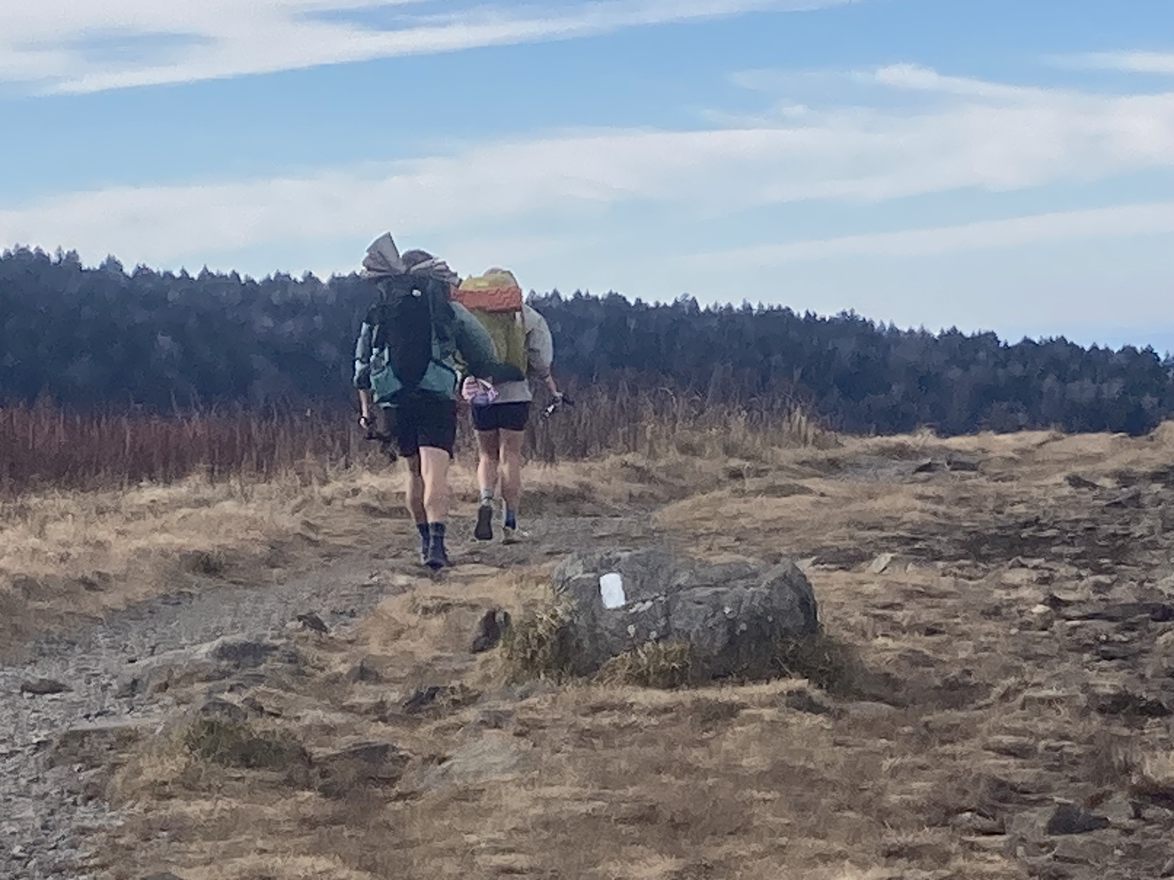
Three weeks of food doesn’t fit in one pack. Standard resupply strategy:
- Reds Meadow Resort (mile 112) — closest to a real store; food available
- Vermilion Valley Resort (mile 143, off-trail via ferry) — hiker-friendly, full meals, gear
- Muir Trail Ranch (mile 160) — bucket resupply only, book well in advance; expensive
- Bishop (off-trail at mile 789 via Kearsarge Pass) — full town resupply
Bear Canisters: Not Optional
Bear canisters are required throughout the JMT corridor. This is enforced — rangers check. Hard-sided canisters (BV 450, Garcia) are the standard. Plan your food weight accordingly; most hikers carry 1.5–2 lbs of food per day.
The Weather Window
The Sierra is typically snow-free on the JMT by late June in average years, though passes can hold ice into July in heavy snow years. The season closes with the first serious fall storms, usually mid-September to October. The sweet spot: late July through late August for the driest, most reliable weather. Lightning builds over the high peaks most afternoons — be off exposed passes by noon.
This Will Change You
That’s not hyperbole — it’s what everyone who’s done it reports. Three weeks without a phone signal, eating dinners next to lakes that look like they were painted, watching the Milky Way over passes named after people who explored this country 150 years ago. Come back a different person. In a good way.
Northern terminus: 37.7456°N, 119.5936°W | Happy Isles, Yosemite Valley, CA