The Army Sent Four Hundred Soldiers. Fifty-Three Men in a Cave Sent Them Home.
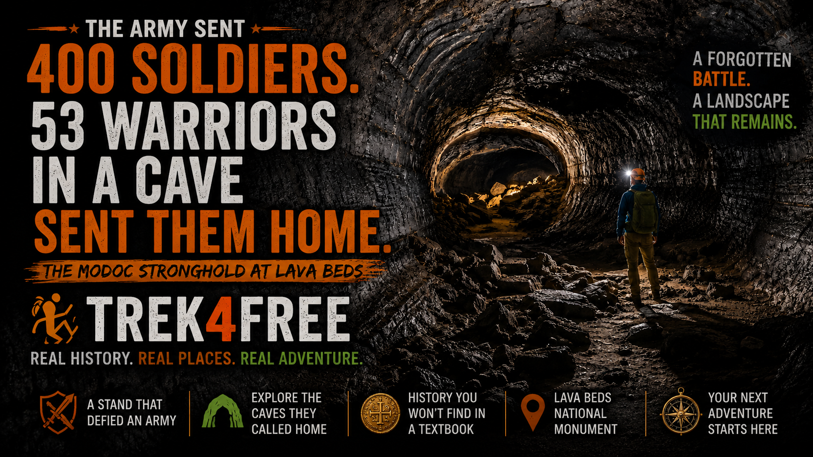
The Army Sent Four Hundred Soldiers. Fifty-Three Men in a Cave Sent Them Home.
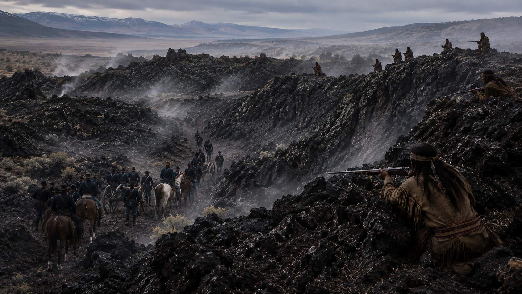
On the morning of January 17, 1873, Lieutenant Colonel Frank Wheaton led more than four hundred U.S. Army soldiers and Oregon volunteers into the California lava beds to end a standoff that had embarrassed the government for months. Fog sat low over the black rock. The men moved in two columns, closing from the east and west, converging on a natural fortress of volcanic ridges and tunnels at the south end of Tule Lake.
Inside that fortress: 53 Modoc warriors.
By afternoon, Wheaton’s force was retreating across the lava. Thirty-seven soldiers were dead or wounded. The Modoc lost no one.
The caves that protected them are still there. You can walk into them this weekend for free.
A Place That Looks Like the End of the World
Northern California near the Oregon border doesn’t look like the rest of the state. There are no redwoods here, no Pacific coast, no vineyard hills. What’s here is 46,000 acres of volcanic rock — black lava that erupted over tens of thousands of years and cooled into one of the strangest landscapes in North America.
Beneath it: more than 800 lava tube caves. When lava flows, the outer surface cools and hardens first. The molten rock inside keeps moving, draining out, leaving hollow tunnels that can run for hundreds of feet — sometimes longer. The ceiling holds. The interior stays. What remains is a network of passageways through the earth that stay cool in summer, frost in winter, and go dark the moment you step past the entrance.
The Modoc people had lived in this landscape for generations. They knew every tunnel, every ridge, every hidden approach.
The United States Army did not.
The Modoc and Their Land
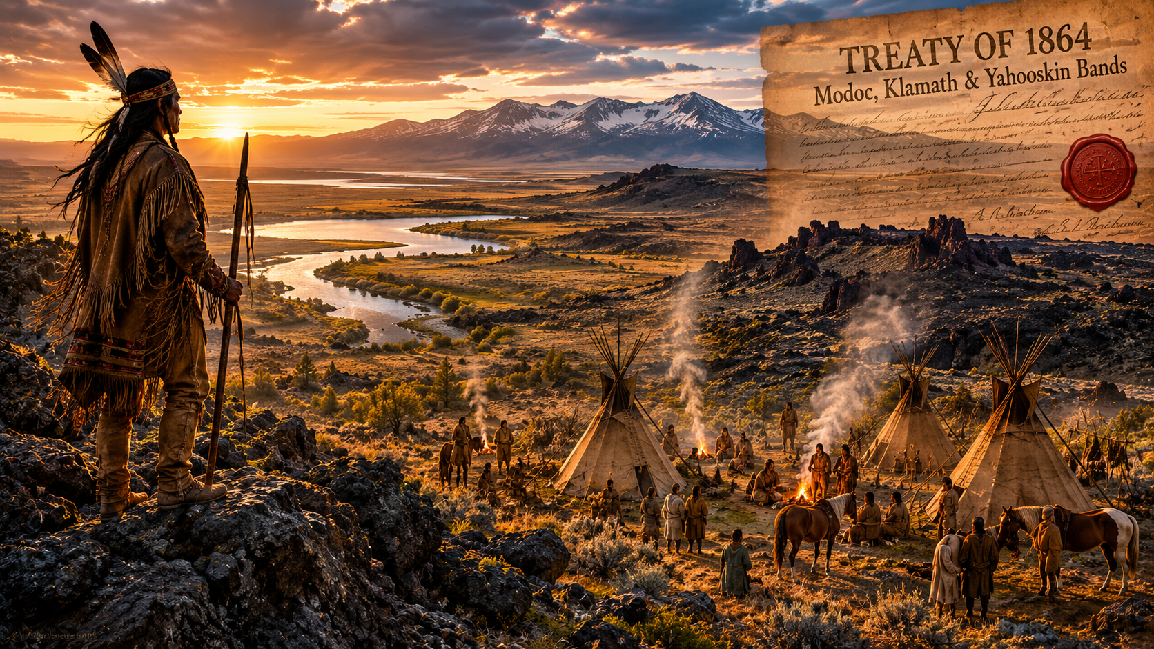
The Modoc homeland was the high plateau country around Tule Lake and the Lost River — the same lava beds, the same sagebrush flats, the same volcanic ridges their ancestors had occupied for thousands of years. They were not a large group. Several hundred people at most. But they knew this terrain the way a person knows their own house in the dark.
In 1864, the U.S. government negotiated a treaty. The Modoc, along with the Klamath and the Yahooskin band of Snake, ceded their lands and agreed to share the Klamath Reservation in southern Oregon. What the treaty didn’t account for — or didn’t care about — was that the Modoc and the Klamath were traditional rivals. The Klamath outnumbered the Modoc on their own reservation and held priority over resources. The arrangement was miserable from the start.
A Modoc leader named Kintpuash — the settlers around Yreka called him Captain Jack — kept bringing his people home. Not to fight. To live where they had always lived, on the land the treaty said they had given up. The government kept sending them back. This happened more than once.
By 1872, Captain Jack’s band of roughly 50 to 60 families had been living on Lost River — their original homeland — for the better part of a year. Washington ordered the Army to remove them. Again.
Lost River, November 1872
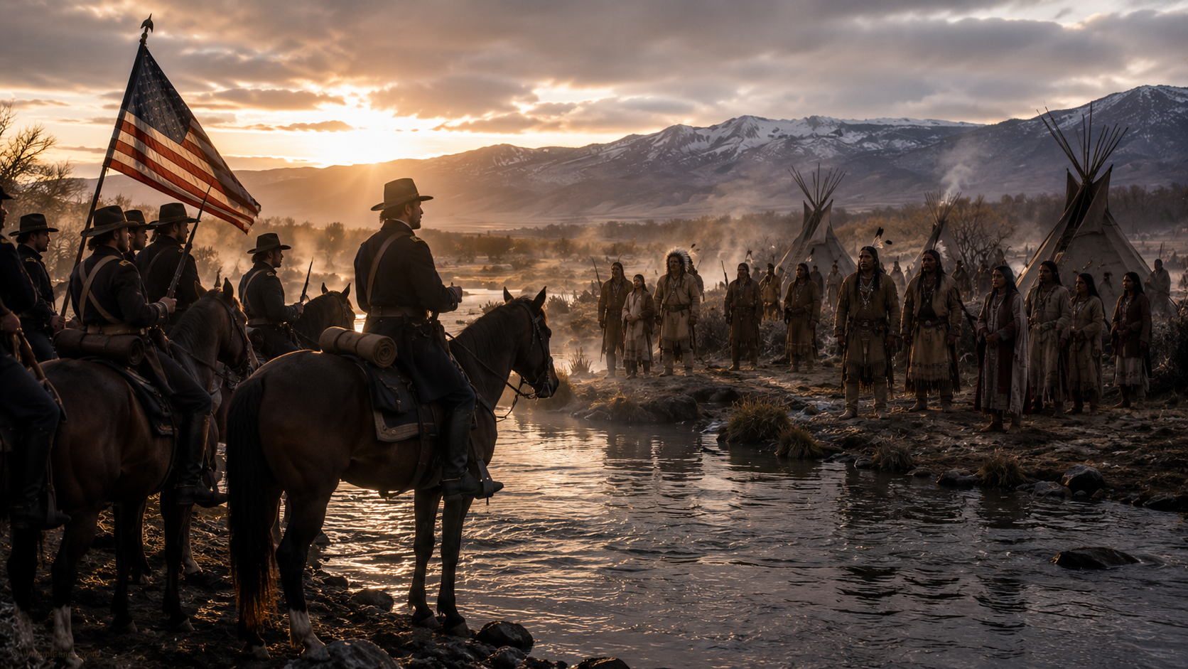
On the morning of November 29, 1872, Army Major James Jackson arrived at the Modoc camp on Lost River with a detachment of cavalry. The orders were to disarm Captain Jack’s band and escort them back to the Klamath Reservation.
Exactly what happened in the next few minutes, the historical record doesn’t fully agree on. Both sides had weapons. Both sides were tense. A shot was fired — by whom, the accounts differ. What isn’t disputed is that when the shooting stopped, soldiers were dead and Modoc were dead, and Captain Jack’s band was running south toward the only place they knew the Army couldn’t follow them easily.
The lava beds.
They reached the south shore of Tule Lake and disappeared into the volcanic ridges. Captain Jack had approximately 53 warriors with him — plus women, children, and elders, perhaps 150 to 200 people total. They moved into a section of lava that the Modoc called their own and the Army would later mark on maps as Captain Jack’s Stronghold.
The Stronghold
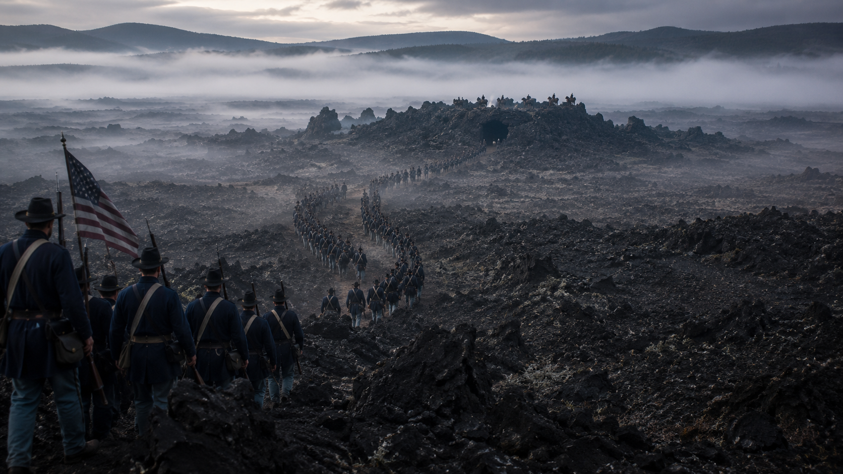
The lava at the Stronghold isn’t flat. It’s a maze of ridges — black volcanic walls running five to thirty feet high, honeycombed with depressions, tunnels, and natural trenches. A person who didn’t know it could walk in circles for hours without finding a clear approach. A person defending it from the inside, behind ridges they had known since childhood, could see every attacker long before the attacker saw them.
The Army surrounded the Stronghold and waited for Captain Jack to surrender.
He didn’t.
Through December 1872 and into January 1873, negotiations went nowhere. Washington was losing patience. Lieutenant Colonel Wheaton assembled his force — regulars from the First Cavalry and Twenty-First Infantry, Oregon volunteers, California volunteers — and prepared for an assault. He brought howitzers. He was confident. His dispatches back to headquarters suggested this would be finished quickly.
On the morning of January 17, Wheaton sent his columns in from two sides.
The Modoc waited.
The fog was dense. The soldiers moved across broken lava they had never seen before, through terrain that funneled them into predictable approaches. The Modoc, firing from positions they had used for practice since childhood, picked their targets carefully. The Army’s howitzers fired into the fog at nothing. Wheaton’s columns became confused, unable to coordinate, unable to see the enemy, unable to advance.
By afternoon, it was over. Wheaton ordered a retreat.
37 Army casualties. The Modoc: zero.
The Peace Commission
The defeat was a national embarrassment. Newspapers ran the story. Congress demanded answers. The Army had lost a battle to fewer than sixty people in a field of rocks, and the country wanted to know why.
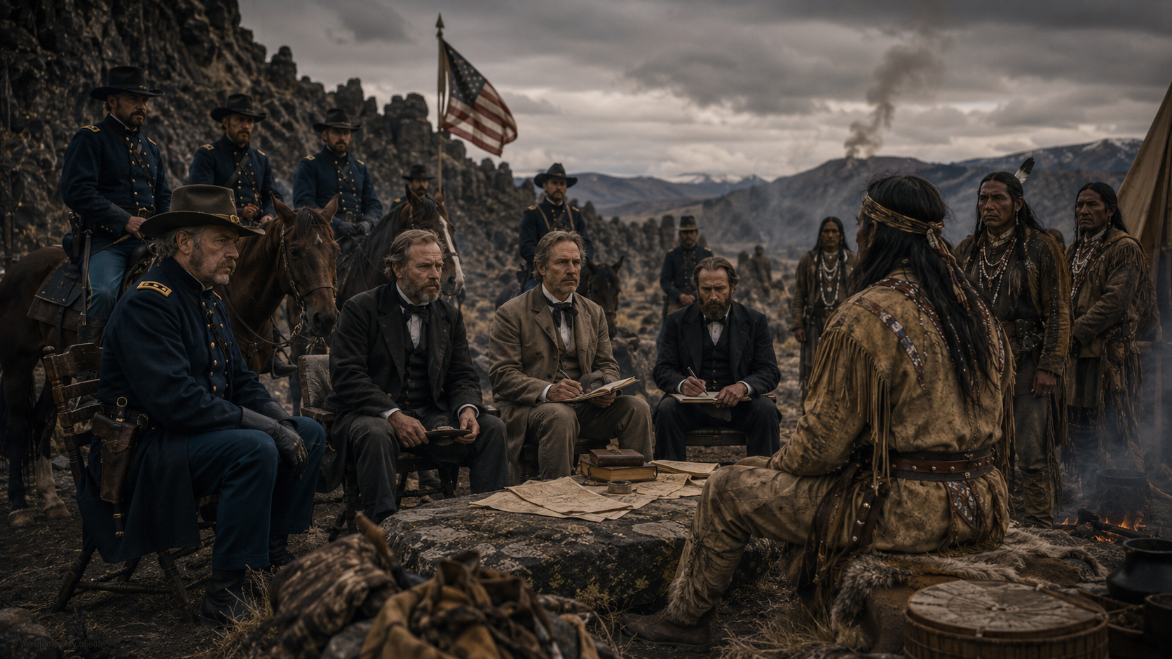
Washington sent a peace commission. The lead commissioner was Brigadier General Edward Canby — one of the most experienced officers in the Army, a veteran of the Civil War, a man known for fair dealing. With him came Alfred Meacham, a former Oregon Superintendent of Indian Affairs who had negotiated the original Klamath Treaty; Reverend Eleazer Thomas, a Methodist minister; and Indian agent Leroy Dyar.
The commission met with Captain Jack several times through March and into April 1873. The talks produced nothing. Washington wouldn’t offer the Modoc a reservation on their own land. Captain Jack wouldn’t return to the Klamath Reservation. The talks circled the same ground.
Inside the Stronghold, the pressure on Captain Jack was building from a different direction. A faction of his own warriors — led by men named Hooker Jim, Black Jim, and Schonchin John — wanted to kill the commissioners. They believed it would force the Army to fight in earnest, and they believed the lava beds would protect them again as they had in January.
Captain Jack resisted. By all accounts he understood what killing a peace commissioner would mean. He pushed back. His people pushed harder.
April 11, 1873
On the morning of April 11, Captain Jack walked out to meet the peace commission for what both sides hoped would be a productive session. He was armed.
During the meeting, Captain Jack drew his pistol and shot General Canby in the face. Canby fell and was killed. Reverend Thomas was shot and killed a few feet away. Meacham was shot and scalped — he survived when someone called out, falsely, that soldiers were coming, causing his attackers to flee before finishing the job.
Canby was the only U.S. general killed during the entire period of the Indian Wars. The reaction across the country was swift and furious.
Colonel Jefferson C. Davis took command of a substantially reinforced Army force. The terms offered to the Modoc narrowed to surrender or be destroyed.
The End in the Lava Beds
The Army pressed harder through April. Artillery, infantry, cavalry — a force now numbering over a thousand men working systematically through the lava. The Modoc fought back, raided supply lines, held positions that seemed impossible to take.
But the math was catching up. The Modoc were outnumbered twenty to one. They were running low on ammunition and water. The band began to split under the pressure.
Hooker Jim — the man who had pushed hardest for killing the commissioners — surrendered to the Army in late May. Then he made a deal. He and his group would help the Army find Captain Jack in exchange for amnesty. He led soldiers through the lava beds he had grown up in, toward the man who had been his leader.
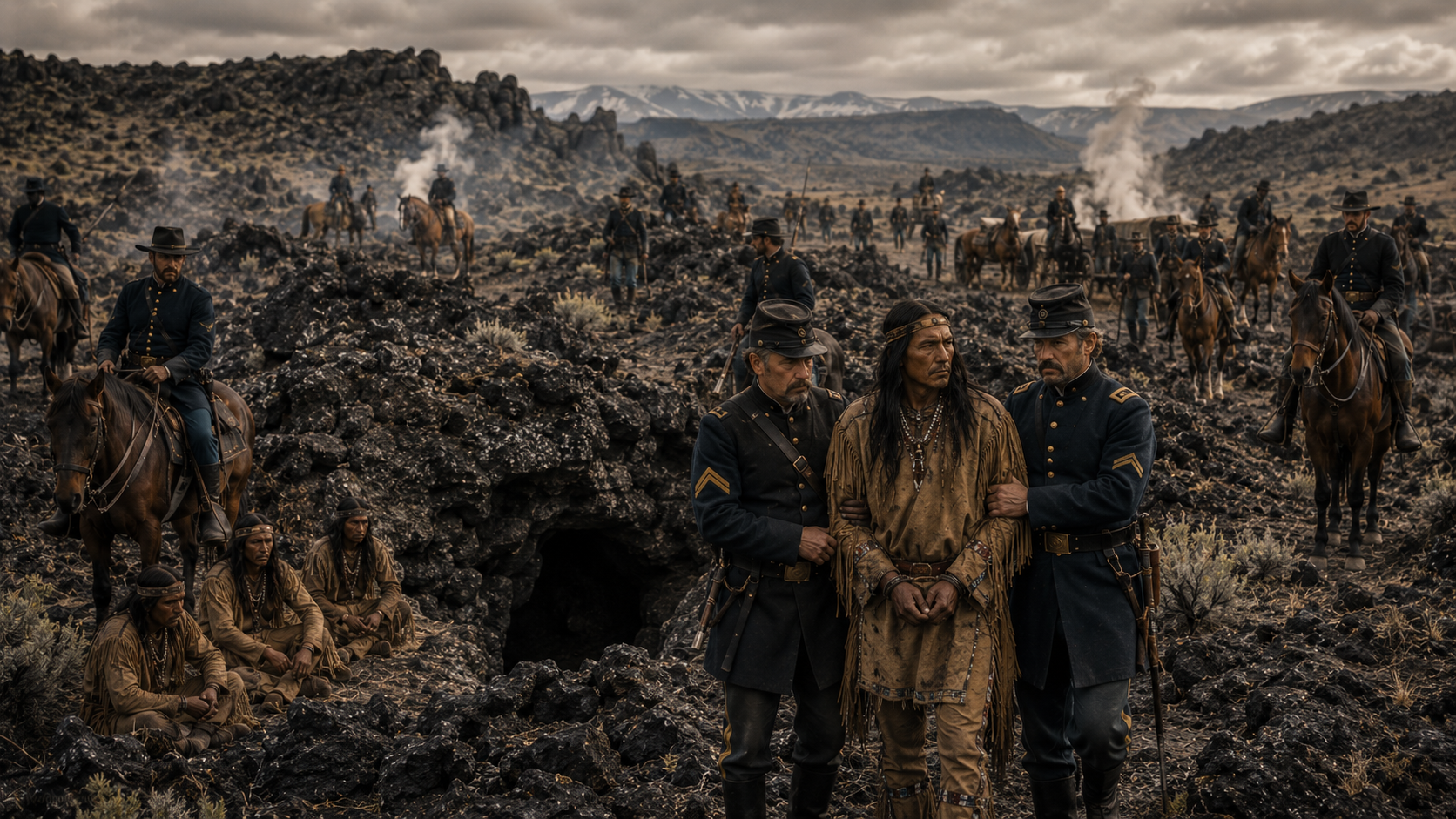
Captain Jack was found hiding in a cave on June 1, 1873 — six months and three days after the confrontation at Lost River.
He stood trial before a military tribunal. The verdict was never in doubt. On October 3, 1873, Captain Jack was hanged at Fort Klamath, Oregon, along with Schonchin John, Black Jim, and Boston Charley. Two others had their sentences commuted to life imprisonment.
Hooker Jim and the men who had demanded the killing of the commissioners — and then betrayed Captain Jack — received amnesty.
The remaining Modoc, approximately 153 people, were classified as prisoners of war and sent to Indian Territory in Oklahoma. They were not allowed to return to Oregon or California until 1909.
What Remains
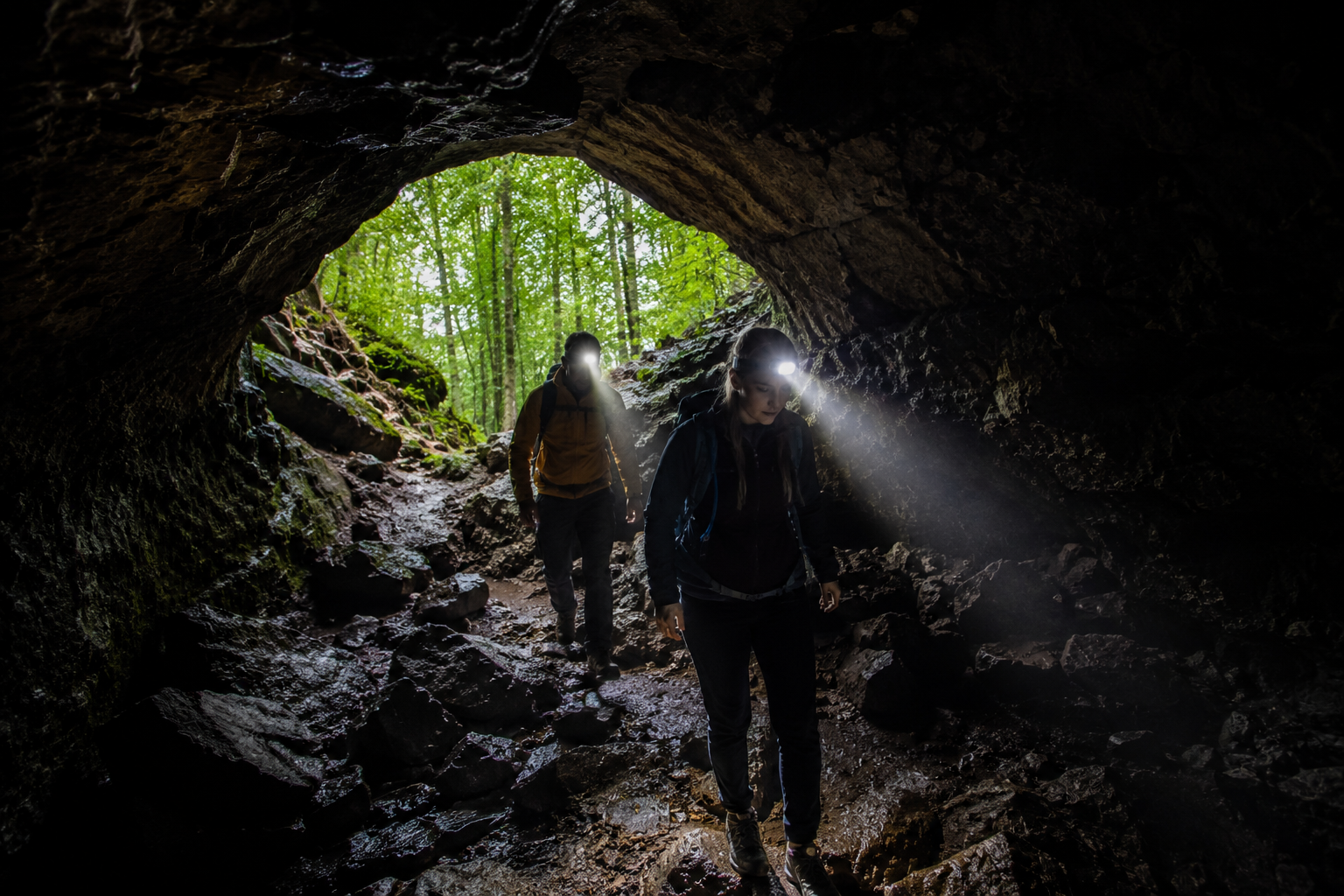
Lava Beds National Monument was established in 1925, 52 years after the war that was fought inside it.
Captain Jack’s Stronghold is still there. A 1.5-mile self-guided trail loops through the same lava ridges where Wheaton’s army broke. You can stand in the natural trench lines the Modoc used, look out at the open approaches the soldiers crossed, and understand immediately why four hundred men couldn’t dislodge fifty-three.
The lava tube caves the Modoc sheltered in are still there. More than 800 of them — one of the largest concentrations of lava tube caves anywhere in North America. Most require nothing more than a headlamp or flashlight to explore. The visitor center loans headlamps for free.
Petroglyph Point, on the northeast edge of the monument, holds one of the largest concentrations of Native American rock art in the country — images carved into a cliff face that once sat at the edge of ancient Tule Lake.
Lava Beds National Monument receives fewer than 120,000 visitors a year. For comparison, the Grand Canyon gets five million.
The caves are open. The history is real. Almost nobody goes.
Going There
Lava Beds National Monument sits in far northern California, about 30 miles south of the Oregon border.
- Nearest airport: Klamath Falls, OR — roughly 55 miles north. Redding, CA is about 150 miles south.
- From Redding: Take I-5 north to Weed, then Highway 97 north and county roads east — plan about 2.5 hours.
- Entrance fee: $25 per vehicle, valid 7 days. America the Beautiful Pass accepted.
- Caves: Many are self-guided and free to enter once inside the park. The visitor center loans headlamps at no charge — bring your own if you have one.
- Captain Jack’s Stronghold: Self-guided trail, 1.5 miles round trip. Free with park admission.
- Best time to visit: Late spring through early fall. Winters can bring snow and road closures. Summer temperatures are mild — the lava keeps things cooler than the surrounding desert.
- Camping: Indian Well Campground inside the monument. Dispersed camping on adjacent Modoc National Forest land is free.
The caves stay around 55°F year-round. Bring a jacket even in July.
Lava Beds National Monument. Tulelake, California. The caves are free to enter. The history is harder to walk away from.