Yosemite in Two Days: Camp 4, the Mist Trail, and a VRBO Inside the Park
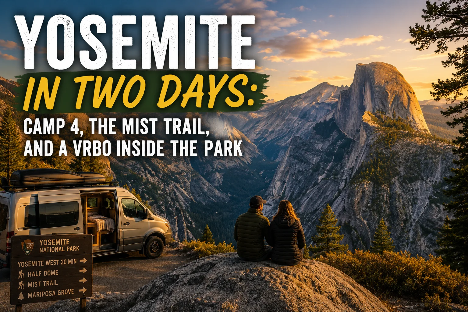
Yosemite in Two Days: Camp 4, the Mist Trail, and a VRBO Inside the Park
Most people who visit Yosemite don’t stay inside the park.
They commute in from Fresno, from Madera, from Merced — 45 minutes to an hour each way, twice a day, burning a chunk of every hiking day in a car. The campgrounds inside the valley book up months in advance through a reservation system that feels like trying to get concert tickets for a band everyone loves. The lodges are expensive and often full. So people drive in, drive out, and wonder why they felt rushed.
We didn’t want that trip.
We were already in California for a family graduation in Monterey. Flew in, rented a car, had a few days on the back end. We were going to Yosemite. But we were going to do it from the inside.
Yosemite West: The Part Nobody Tells You About
There is a private residential community called Yosemite West that sits inside the national park boundary.
Not near it. Not adjacent to it. Inside it — on Highway 41, roughly midway between the park entrance at the south and the valley floor. About 6,000 feet elevation. Surrounded by national park land on all sides. Reached by a park road that leads to nothing else.
The community is made up of privately owned homes and condos. Some of those owners rent on VRBO. We found one called the Loft of Yosemite — a second-floor unit at 7540 Henness Circle, Yosemite West, CA 95389.
We booked it.
What this got us: a kitchen, a real bed, a private bathroom, and an address inside one of the most famous national parks on earth. We left the unit in the morning and were in the valley in 20 minutes. We left the valley in the afternoon and were back in 20 minutes. No commute from Fresno. No hotel lobby in Madera. We were inside.
One practical note: bear activity at Yosemite West is real. Recent guests report seeing bears in the parking area at 1am. This is not a warning — it’s Yosemite. But store all food in your vehicle or the provided bear box, not on a balcony or in a cooler outside. This applies everywhere inside the national park boundary, including Yosemite West.
If you’re planning a Yosemite trip and haven’t looked at Yosemite West on VRBO: look. The specific unit we found is listed as the Yosemite West Retreat — sleeps 4, fireplace, balcony, kitchen, BBQ, 9.4/10 rating. The availability and prices vary by season, but October was far more reasonable than we expected. And October, it turns out, is the right time to go.
→ View the Yosemite West Retreat on VRBO | → Search all Yosemite West rentals
Camp 4: Before the Valley Day Started
We got to the valley floor on Day 1 with a few hours before we wanted to be on the Mist Trail. Tortuga had been reading about Camp 4 for years. We walked through.
Camp 4 is a walk-in tent campground on the valley floor — no reservations, no RVs, just people with tents packed under the pines. Technically it’s a campground. Historically, it’s something else entirely.
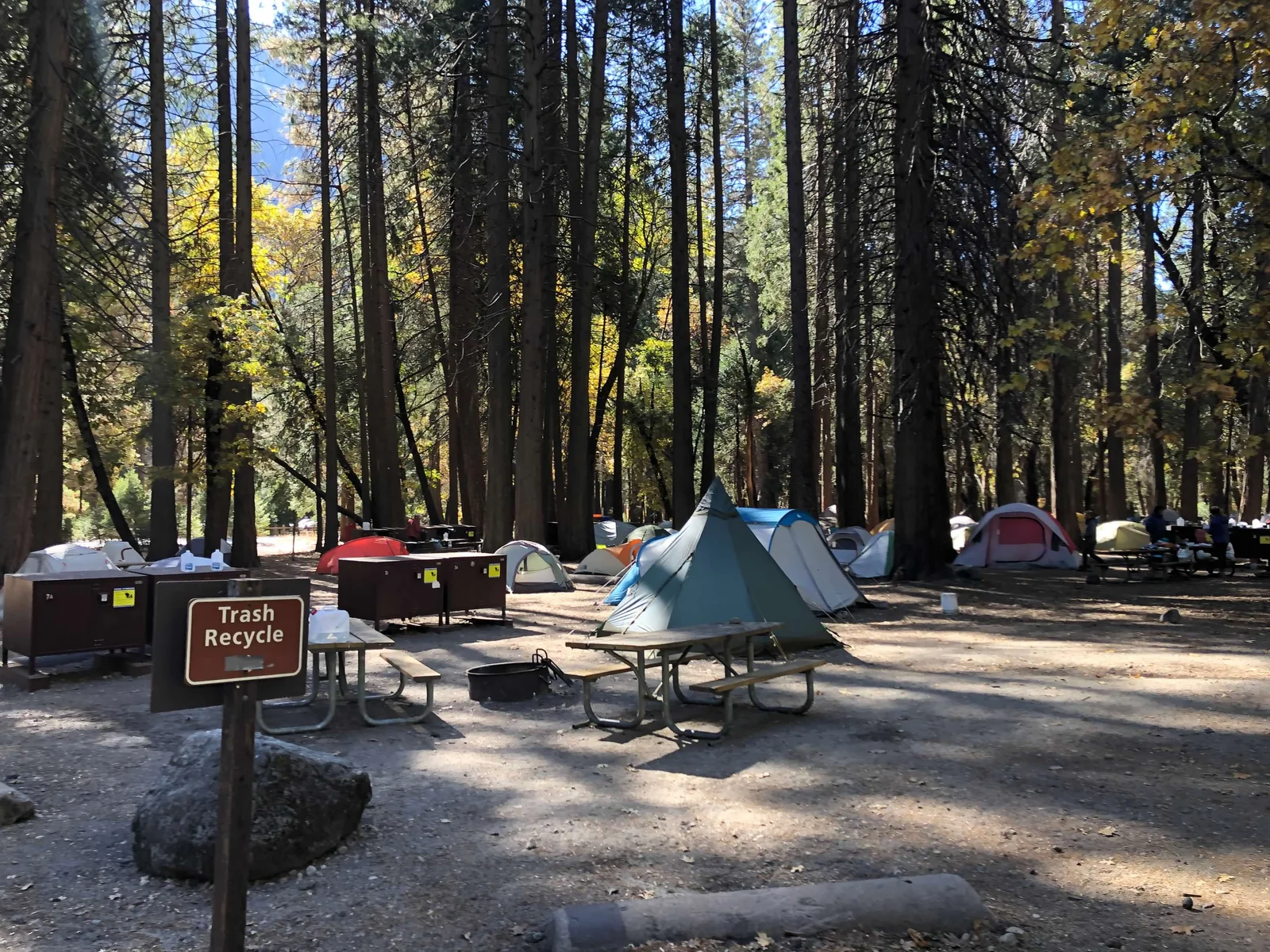
From the 1950s through the 1980s, a generation of climbers lived here — not visited, lived here. Yvon Chouinard before Patagonia existed. Royal Robbins. Warren Harding. The people who first climbed the faces of Yosemite Valley that everyone else said couldn’t be climbed, on homemade gear, on no money, in no particular hurry to do anything else.
They called themselves dirtbags. They meant it as a badge. They’d spend months in this campground between ascents, eating as little as possible, climbing as much as possible, figuring out how to do things nobody had done before. The gear they couldn’t buy, they made. The techniques they needed, they invented.
Camp 4 is now a National Historic Landmark. The designation came after a battle — the Park Service wanted to bulldoze it in the 1990s to build a parking lot. The climbing community sued and won. The campground stayed.
Walking through it in October, between the old pine trees with their patches of fall color, it feels like what it is: a place where something real happened, and where the people doing it didn’t have anything to prove to anyone who wasn’t there.
Tortuga described the history as we walked — the Stone Masters, the dirtbag years, the strange and colorful lore about how some of the seed money for early outdoor gear companies found its way into existence. It’s the kind of story that gets better every time you hear it and harder to verify the more you look into it. Which is exactly the right kind of story for a place like this.
We walked through, took it in, and headed for the Mist Trail.
Day 1: The Valley Floor
Tunnel View
The first thing you see when you come into Yosemite Valley from the south is Tunnel View.
You drive through a tunnel in the granite — you can’t see what’s on the other side — and then the tunnel ends and you are looking at one of the most famous landscapes on the planet. El Capitan rising 3,000 feet on the left. Half Dome straight ahead at the far end of the valley. Bridalveil Fall dropping off the right wall. The valley floor stretching away below you, the Merced River a thread of silver through the meadows.
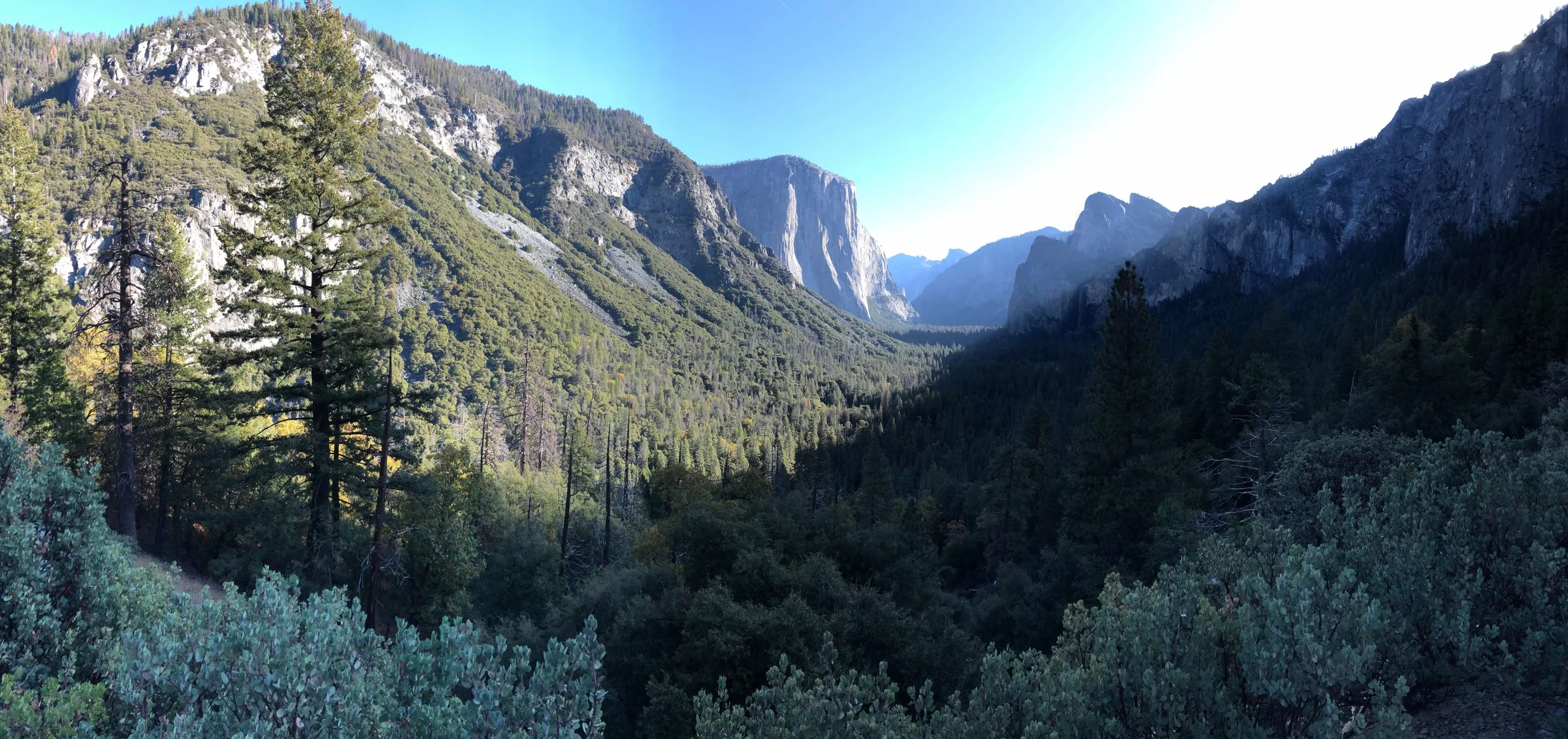
There is no way to be prepared for it. You’ve seen the photographs. You think you know what it looks like. You don’t. No photograph captures the scale. The walls are vertical in a way that photographs make look gradual. The valley is deeper and wider than your brain expects from any reference. In October, the light comes in at an angle that makes everything gold.
We stood there for a while. You have to.
El Capitan Meadow
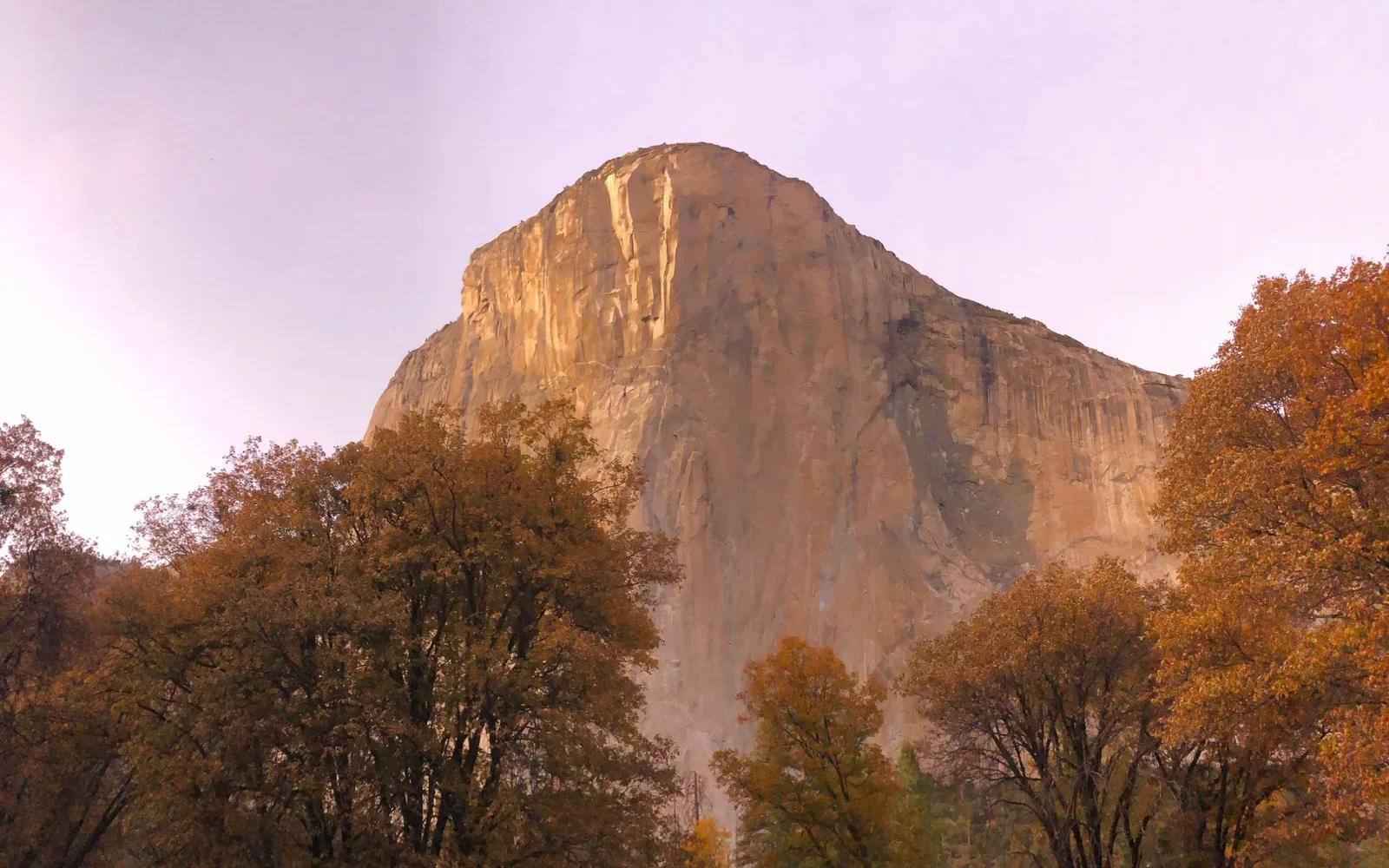
From Tunnel View, the valley road takes you past El Capitan Meadow — a flat, open area on the valley floor that gives you the clearest ground-level view of the wall.
El Capitan is 3,000 feet of sheer granite from the valley floor to the top. Climbers spend days on the face. At any given time in October, if you look carefully, you can usually spot small dots of color partway up — tents on portaledges, people bivouacked on the wall for the night. Not metaphorically. Literally sleeping on the side of the cliff.
Bridalveil Fall
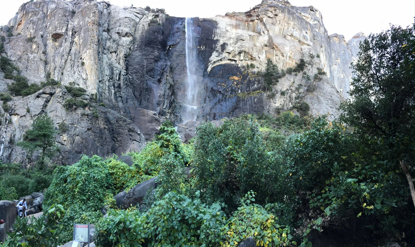
Just inside the park entrance on the south side is Bridalveil Fall — a 617-foot waterfall that drops off the south valley wall into a pool at the base. The trail to the viewpoint is about half a mile round trip from the parking area, flat, paved, accessible. Don’t skip it.
In October, the falls run lighter than in spring snowmelt, but they still run. The spray at the base reaches you before you expect it. The name comes from the way the mist moves in the wind — light enough that it drifts horizontally, like a veil.
The Valley Meadows
Between the landmarks, the valley floor is meadow — flat, open, the Merced River running through it, the granite walls rising straight up on both sides. In October, the black oaks and big-leaf maples in the valley are turning. The color against the granite and the conifers is unusual — not the dense carpet of a Vermont hillside, but bursts of gold and orange at the base of gray walls.
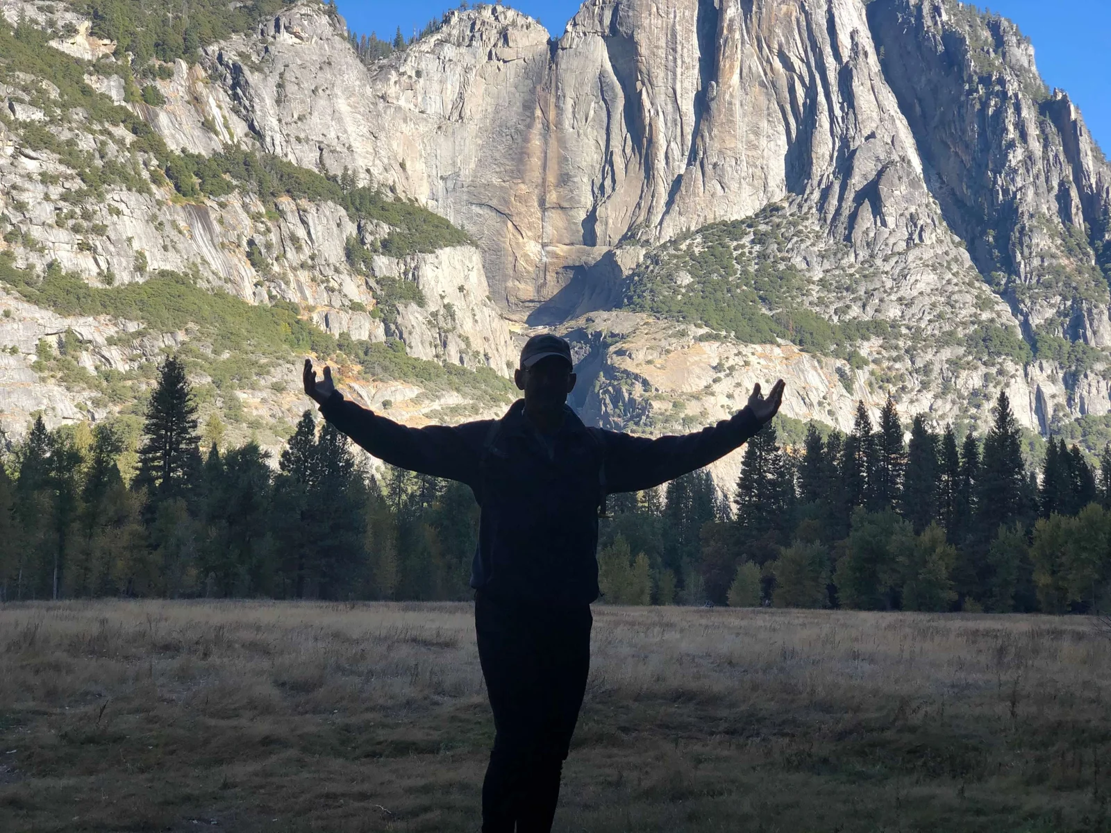
We also spotted camper vans in the valley parking areas. Of course we photographed them. Because of course.
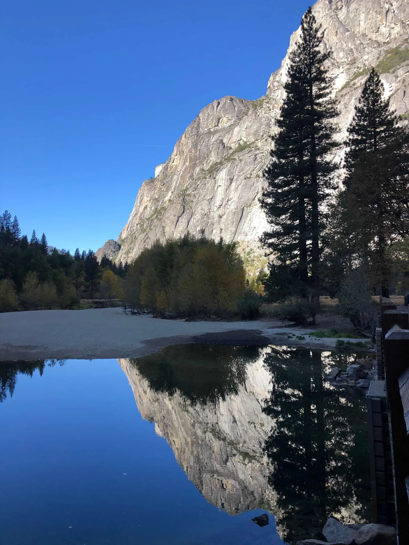
The Mist Trail: Vernal Fall → Nevada Fall
The Mist Trail is 7 miles round trip from the Happy Isles trailhead to the top of Nevada Fall and back. About 1,900 feet of elevation gain. In October, you do it in layers because the spray from the falls will soak you on the way up regardless of what the weather is doing.
It starts easy — a paved path along the Merced River from Happy Isles into the gorge. Then you hit the granite staircase.
The staircase below Vernal Fall is what people mean when they say the Mist Trail is “strenuous.” It’s not steep in terms of angle — it’s steep in terms of climbing hundreds of stone steps that someone cut directly into the face of the granite, next to a waterfall, in the spray. In spring it’s genuinely soaking. In October it’s mist and cold air and the very loud, very close sound of falling water.
Vernal Fall is 317 feet. You climb up alongside it, reach the top, and look down at what you just climbed.
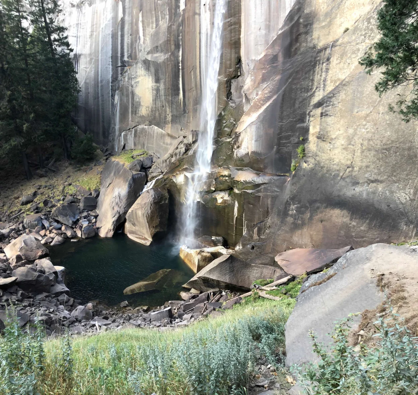
From Vernal Fall, the trail continues up through the Merced gorge. Above the spray zone, the air clears. The forest opens. Half Dome comes into view on the right — up high, distant, the flat face pointing north.
Nevada Fall is 594 feet. The trail to the top follows the edge of the gorge, crosses a bridge, and brings you to a viewpoint looking straight down at the water as it drops into the pool below.
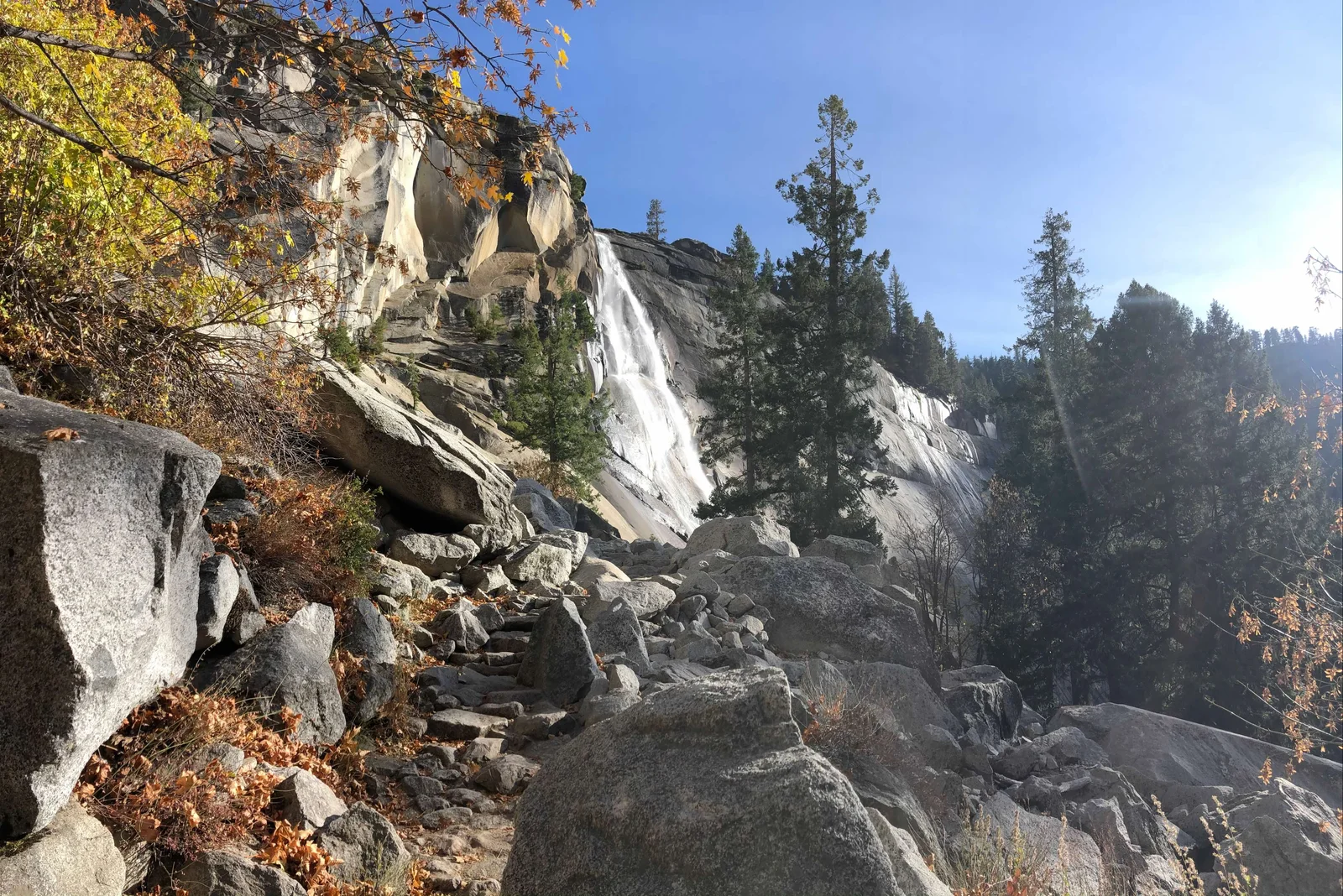
Polly, predictably, wanted to keep going.
We did not keep going. The light was leaving the gorge and we had Day 2 to save our legs for. We came back down via the John Muir Trail — the longer, switchback route that returns to the valley without the granite staircase. Kinder on the knees for the descent. You can do the loop either direction.
Half Dome: From a Distance
We did not hike Half Dome.
Half Dome requires a permit lottery, cables that are removed after October 1, and a round trip of 16 miles and 4,800 feet. You need a full dedicated day, the right preparation, and a lottery win. We had none of these things.
What we had was multiple vantage points. Half Dome from the valley floor. Half Dome from the Mist Trail. Half Dome from the panoramas near Sentinel Dome (accessible by car, short walk).
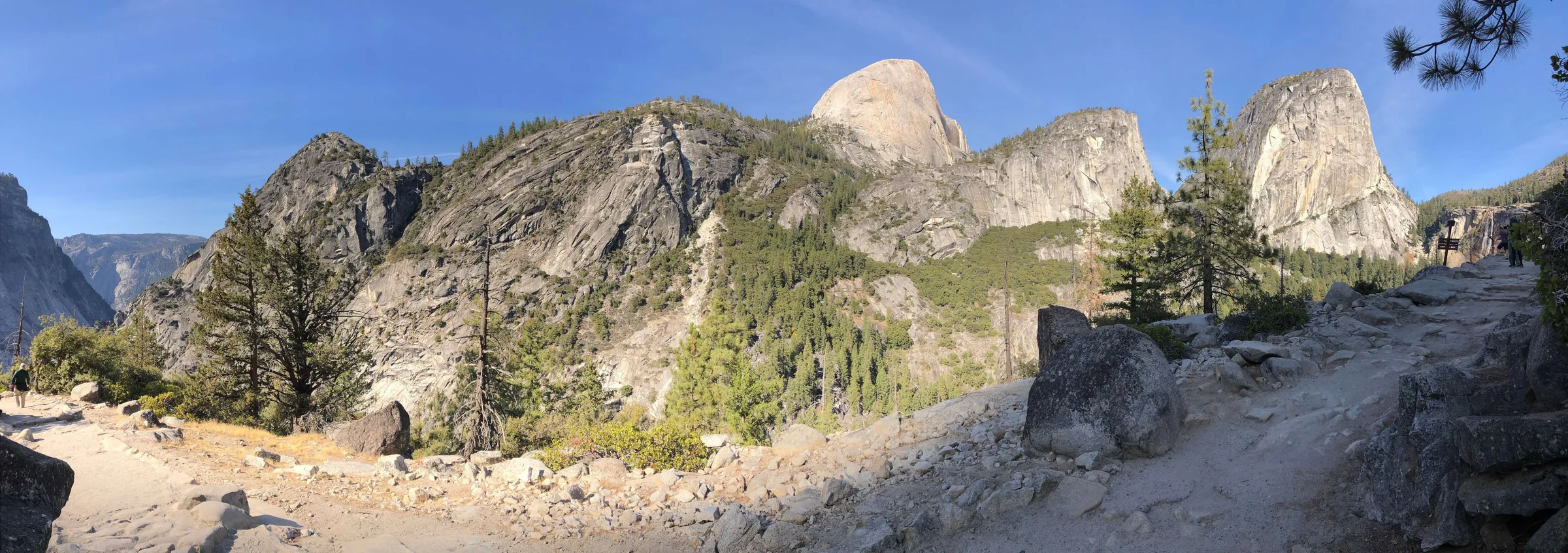
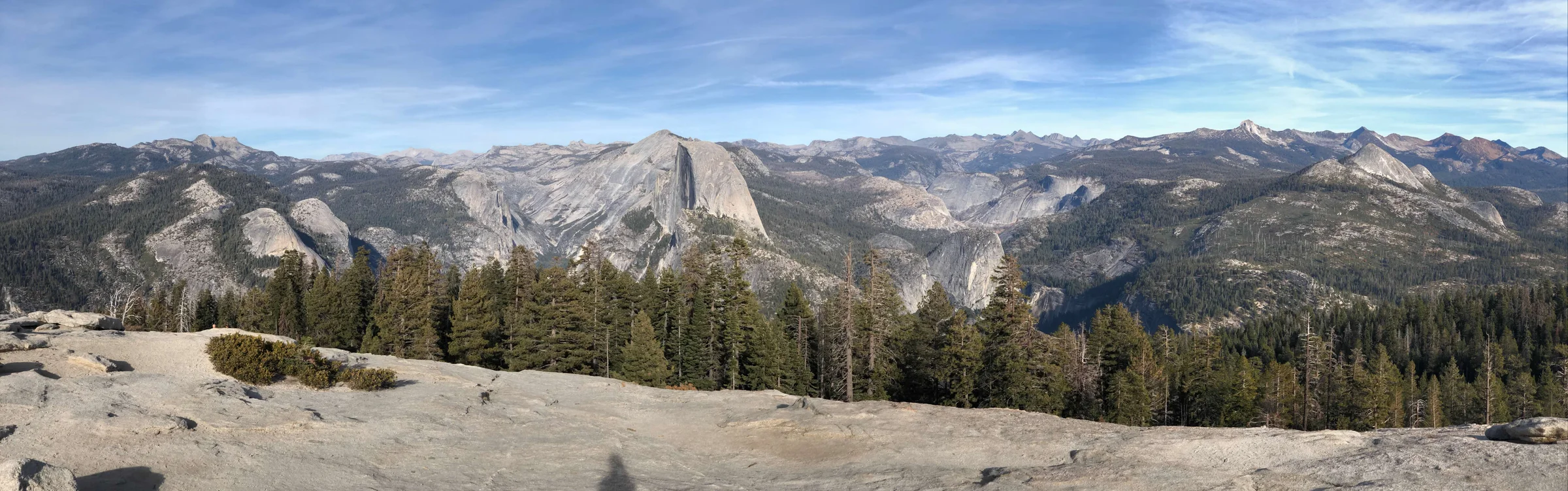
The views, in every direction, are enough. Half Dome is on the list for a future trip with proper permits and planning. For now, looking at it from a valley meadow while eating a Yosemite National Park cheesecake ($4.25 from the Valley Lodge — we have the receipt) was genuinely sufficient.
Day 2: Mariposa Grove
Mariposa Grove is at the southern entrance to the park, about 30 minutes from Yosemite West. It’s the largest grove of giant sequoias in the park — roughly 500 mature trees, some of them among the largest living things on earth.
You park at the trailhead and walk. The park runs a shuttle from the south entrance in season. In October, we drove directly to the grove lot.
What Giant Sequoias Actually Are
Giant sequoias are not the tallest trees on earth (coast redwoods hold that record), but they are the largest by volume. The biggest are 30 feet in diameter at the base. They are impossibly old — 2,000 to 3,000 years for the mature specimens in Mariposa Grove. They were here when the Roman Empire was at its peak.
Standing next to one changes your sense of scale in the same way Tunnel View does — your brain just doesn’t have a reference for something that size and age.
The bark is spongy and fibrous and cinnamon-red. It’s also fire-resistant — thick enough to protect the tree from the low-intensity fires that sweep through the Sierra. Giant sequoias actually depend on fire; the heat opens their cones and clears the competition. The big trees in Mariposa Grove have survived dozens of fires over thousands of years. Some have fire scars that go back centuries.
The Faithful Couple
The Faithful Couple is two giant sequoias that fused at their base thousands of years ago. They share a root system and grow as one organism from the ground level, splitting into two trunks above. Neither has overwhelmed the other. Both are enormous.
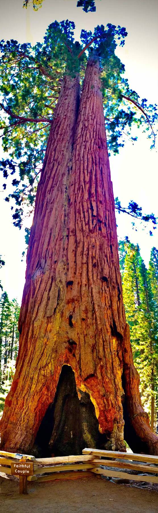
Looking up from the base, the two trunks diverge into canopy and disappear into sky. You can’t see the tops from this angle.
Polly in the Roots
The root systems of giant sequoias are surprisingly shallow — they spread wide rather than deep. At the base of the larger trees, the roots arch above the ground, creating spaces large enough to stand in, crouch in, sit in. Polly found one and sat in it.
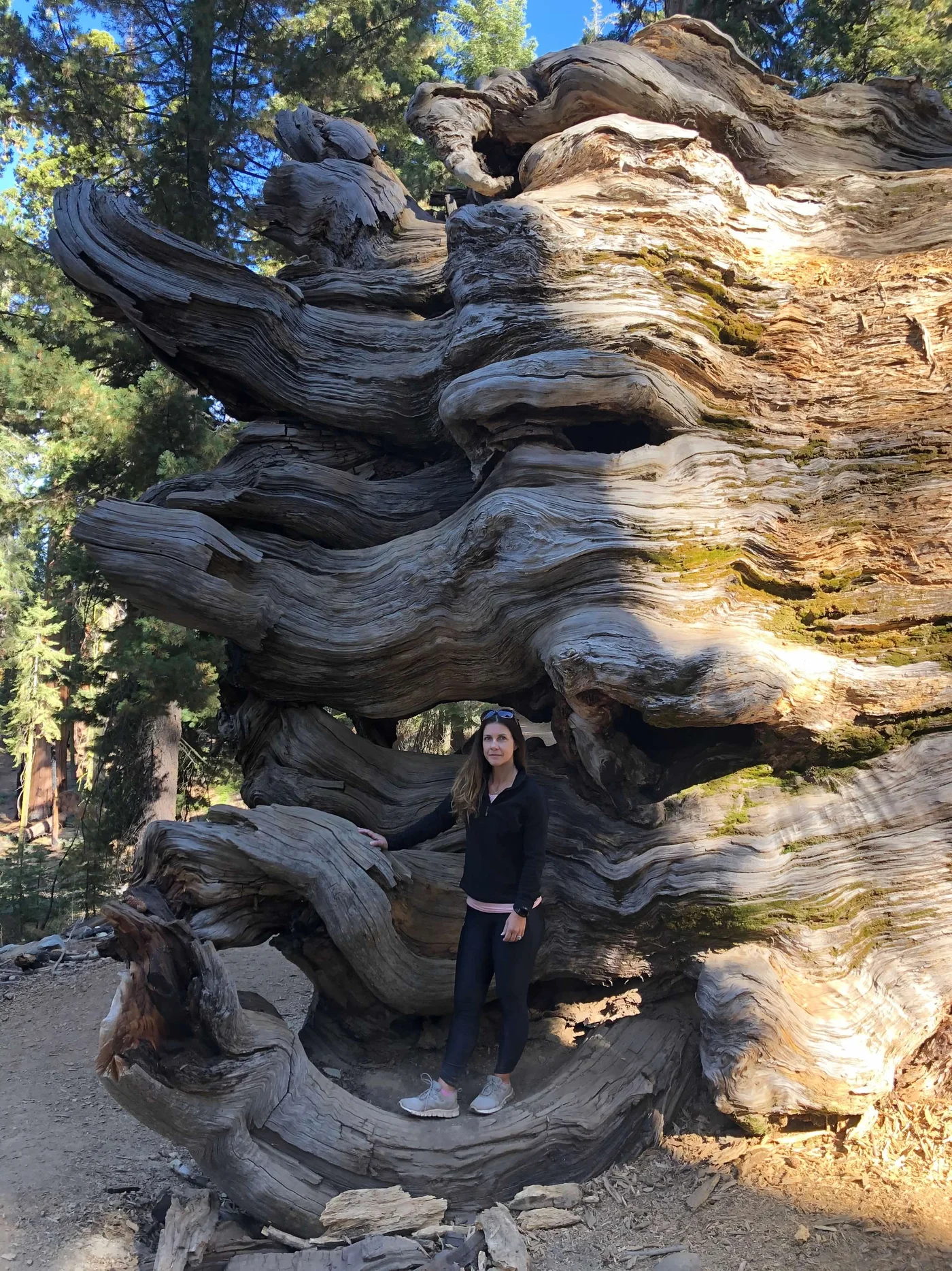
The tree she’s sitting in front of is approximately 2,000 years old.
We walked the grove for two hours. The trails are well-maintained and the grades are gentle. Most of the major trees are accessible without serious hiking — this is one of the most rewarding places in the park for anyone who’s not up for the Mist Trail miles.
October: Why This Is the Right Time
Everyone goes to Yosemite in summer. Peak season is June through August — the falls are running full, the wildflowers are out, every campsite and permit and shuttle is contested and crowded.
October is different.
The crowds thin significantly. Not empty — Yosemite is never empty — but shoulder season volume. We waited in no lines. We found parking. We had viewpoints to ourselves for stretches.
The light is extraordinary. Lower sun angle, longer golden hours, the warmth of October afternoon light on granite walls. Every landscape photographer knows about October light. We didn’t need to be photographers to notice the difference.
The fall color is real. Not dramatic Vermont-style hillside coverage, but the valley oaks and maples turning gold and orange at the base of the gray walls, sequoia cones turning rust in the Mariposa grove, the whole landscape going warm before the winter.
The temperature is right. Cool enough for sustained hiking without the summer heat in the lower valley. Warm enough in the afternoon that you’re not cold in the meadows. The nights at Yosemite West elevation (6,000 feet) were genuinely chilly — exactly what you want after a day of hiking.
The waterfalls run lighter in October than in spring snowmelt, but they run. The Mist Trail spray is lighter. The John Muir Trail connections above the falls are clear.
Practical Notes
Entry: Yosemite National Park costs $35 per vehicle (as of our visit). The America the Beautiful annual pass ($80) covers it and every other national park for a year.
The shuttle system: The Yosemite Valley shuttle is free, runs throughout the valley from early morning to late evening, and eliminates the parking scramble for popular trailheads. Download the NPS Yosemite app — the shuttle tracker is in it.
Happy Isles trailhead (Mist Trail start): Shuttle stop 16. No vehicle parking at the trailhead.
Mariposa Grove parking: Limited in summer; free and easy in October. Opens when the road is clear of snow (typically May, closes with first snow — usually November).
Cell service: Spotty throughout the valley. Download offline maps before you enter — Organic Maps works beautifully here with zero cell service, no account required, and covers every trail in the park. The park has wifi at some lodge locations.
Reservations: Valley campgrounds require reservations through recreation.gov, typically booked months in advance. The Yosemite West rentals on VRBO operate independently — book there as early as possible for best availability.
The Two-Day Breakdown
Day 1 — Valley: Tunnel View → Bridalveil Fall → El Capitan Meadow → Camp 4 walk-through → Mist Trail (Vernal Fall → Nevada Fall, John Muir Trail return). Valley meadows between stops.
Day 2 — Grove + Scenic Drive: Mariposa Grove (2–3 hours) → Glacier Point Road for Half Dome views (closes November 1) → Valley for any final stops.
Two days is not enough for Yosemite. It never is. But if two days is what you have, this is how to use them.
Find hiking and camping near Yosemite on Trek4Free →
If You’re Going to Yosemite
These are affiliate links — we appreciate your support, no extra cost to you.