The Pacific Crest Trail: 2,650 Miles from Mexico to Canada
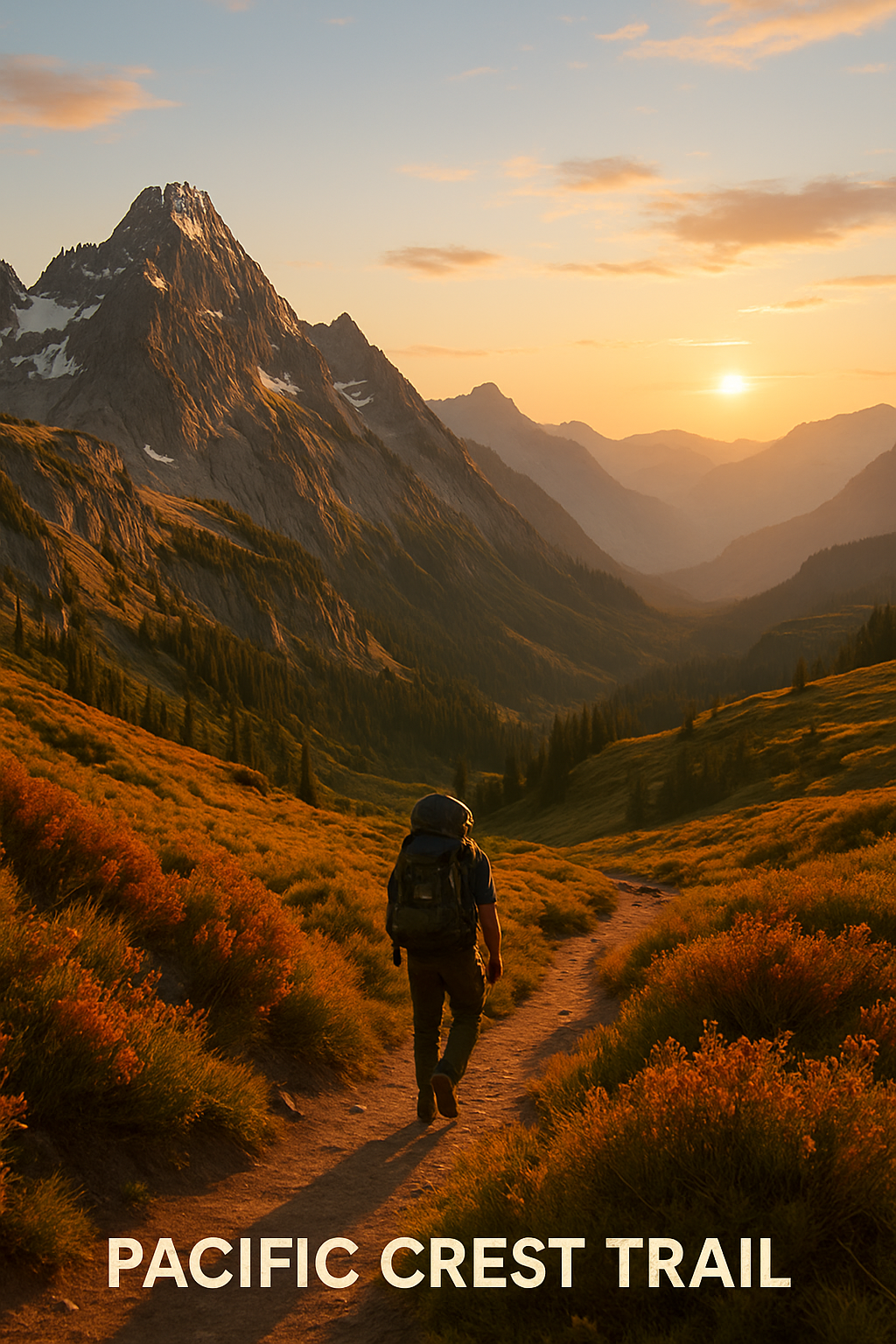
The Pacific Crest Trail: 2,650 Miles from Mexico to Canada
The Pacific Crest Trail begins at a monument on the US-Mexico border in Campo, California. It ends at a similar monument at the Canadian border in Washington state — or technically just past it, in Manning Park, British Columbia. Between those two points: 2,650 miles of desert, mountain, forest, glacier, and whatever you find inside your own head when you’ve been walking for four months.
The Terrain
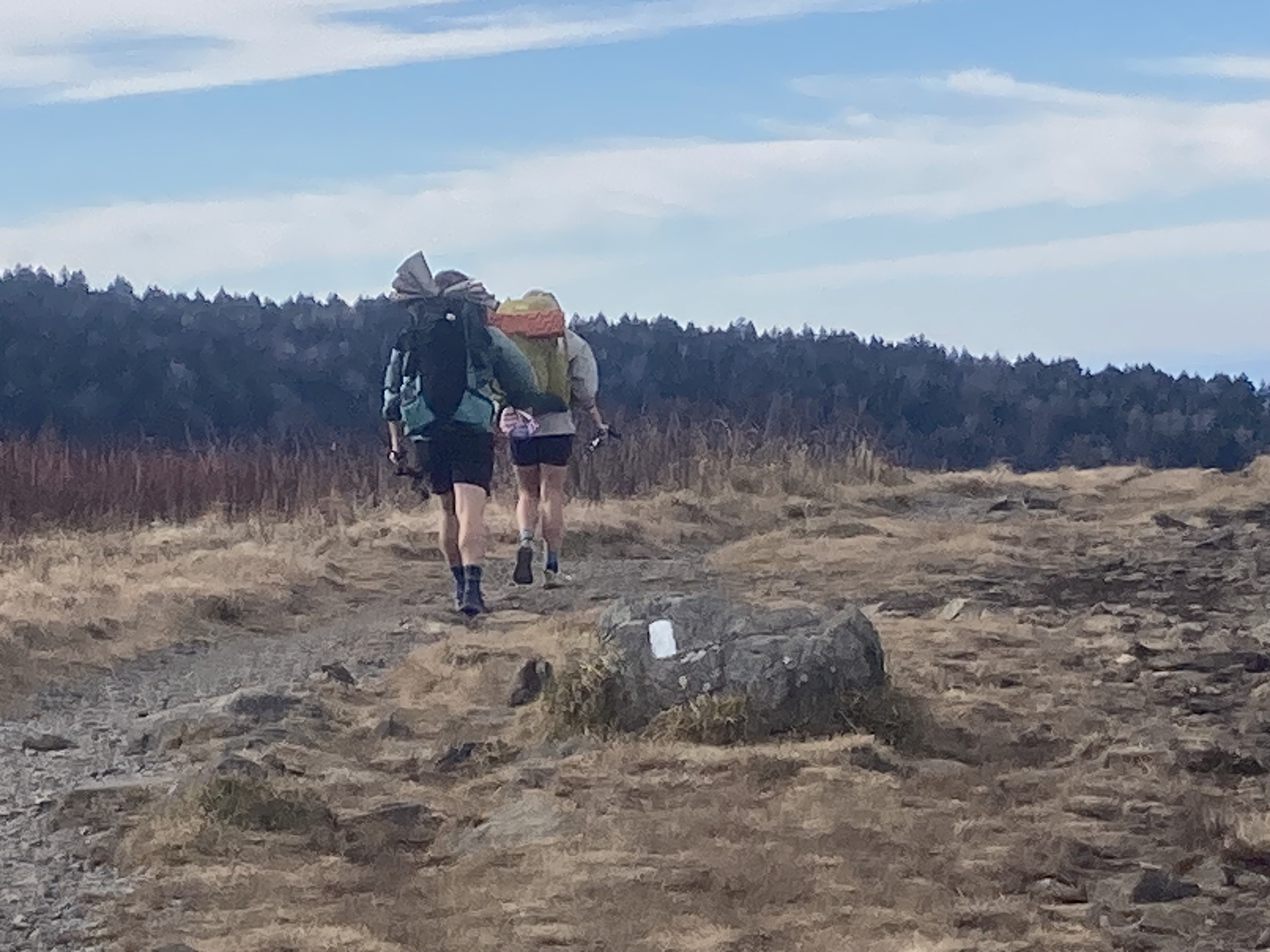
Southern California (700 miles): The trail opens in the Mojave Desert and the dry, exposed mountains of the San Jacinto, San Gabriel, and San Bernardino ranges. Water is the obsession here — caches left by trail angels supplement sparse natural sources. The desert section tests hikers before the Sierra even begins.
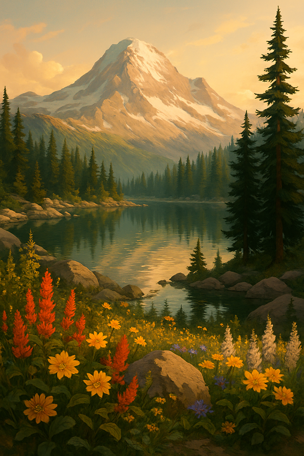
The Sierra Nevada (450 miles): This is what people come for. From Kennedy Meadows to Tuolumne Meadows, the trail runs through the highest, most remote stretch of the route — past Mt. Whitney (which PCT hikers can summit via a side trip), over Forester Pass at 13,153 feet, through Evolution Basin, and along the John Muir Trail corridor. Snow typically lingers here through mid-July in average snow years; in heavy years, hikers cross passes on steep slopes in early June, which requires ice axe competency and comfort with exposure.
Northern California (600+ miles): Crater Lake (Northern California flows into Oregon), Lassen Volcanic National Park, Shasta — the terrain shifts from granite Sierra to volcanic Cascade.
Oregon (455 miles): The easiest section and often the fastest — long, relatively gentle ridgelines through the Three Sisters Wilderness, Mt. Jefferson, and Crater Lake. Hikers often cover 30+ miles per day here. Crater Lake’s blue is genuinely unreal.
Washington (502 miles): The hardest finish. The North Cascades are steep, remote, and often cold and wet. Trails can be snow-covered into July. Resupply towns are sparse. The scenery is spectacular and the weather is not.
The Permit
A PCT permit is required and is not automatic. Apply at pcta.org — the permit is free but quota-limited, and applications open October 1st for the following year’s NOBO (northbound) start windows. The permit specifies your start date, start location, and direction. Some high-demand zones within the PCT corridor (like Mt. Whitney) require additional separate permits.
Starting a Thru-hike
Northbound (NOBO) thru-hikers start at the Mexican border late April through early May — the narrow window that gets you through Southern California before the desert heat peaks and hits the Sierra after enough snow melts to be passable without mountaineering equipment. Starting too early means dangerous snow crossings; too late means arriving at Washington’s North Cascades in October when trails close.
A thru-hike takes roughly 4.5 to 5.5 months for most people. The trail isn’t a race, but weather windows are real constraints. Gear shakedowns, resupply planning, and bail-out routes all matter.
Resupply
PCT hikers typically mail food boxes to post offices and hiker-friendly hostels in trailside towns. Key resupply points include:
- Big Bear City, CA (mile 264)
- Kennedy Meadows, CA (mile 702) — “the gateway to the Sierra”
- Bishop, CA (off-trail, mile 789)
- Mammoth Lakes, CA (mile 906)
- South Lake Tahoe, CA (mile 1,090)
- Ashland, OR (mile 1,716)
- Cascade Locks, OR (mile 2,147)
- Stehekin, WA (mile 2,571) — remote, ferry-accessed
Section Hiking
Not ready for 5 months? The PCT is exceptional section-hiked. Popular standalone sections:
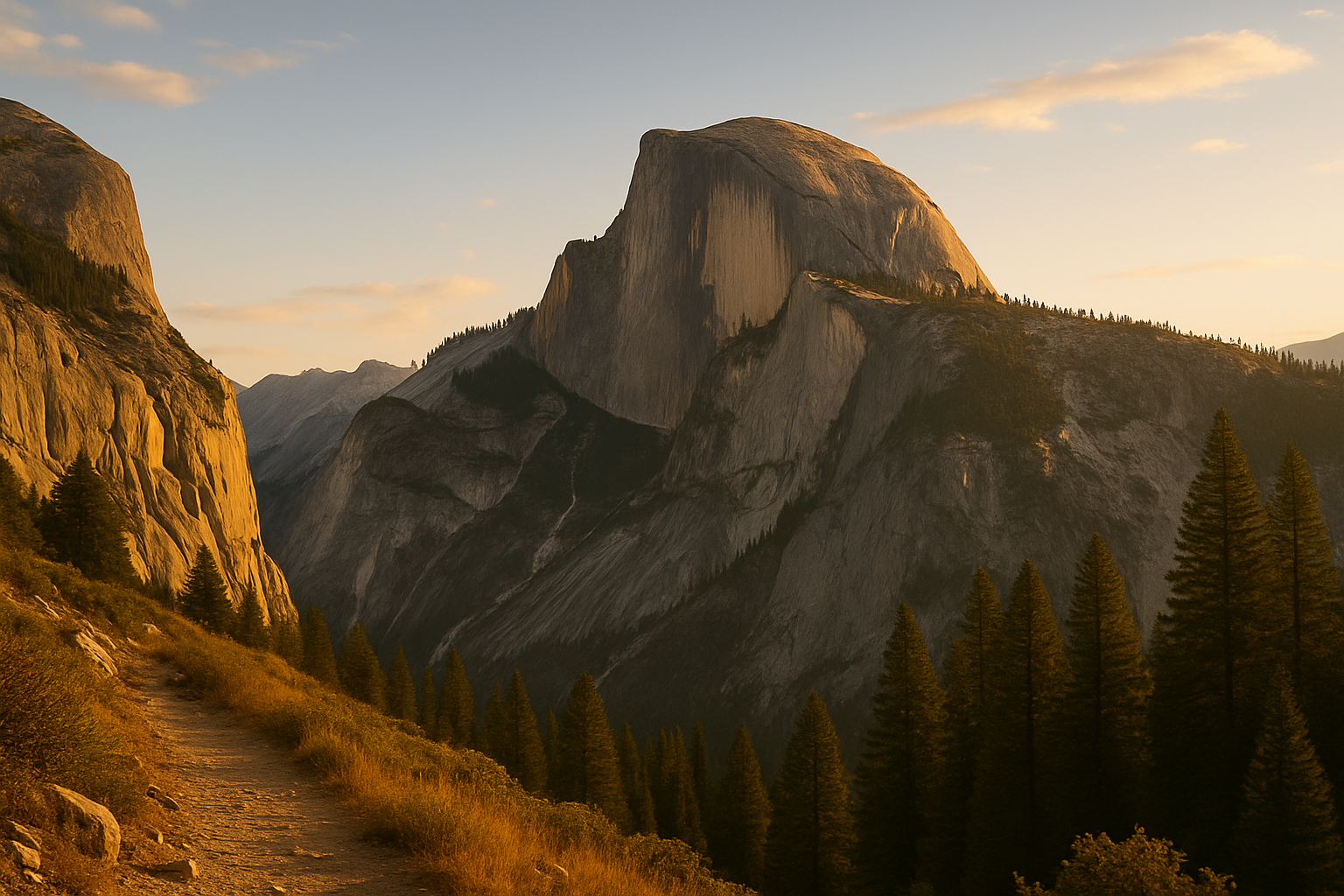
- Mt. Whitney to Yosemite (JMT) — 211 miles, the best stretch of the trail
- Crater Lake, OR — day hikes and overnight loops
- North Cascades, WA — 3–7 day routes through Glacier Peak Wilderness
The Reality
About 4,000 people start the PCT each year. Fewer than half finish. The people who don’t finish aren’t weak — they get injured, run out of money, have family emergencies, or simply discover that 5 months of walking isn’t what they wanted. There’s no shame in any of it.
The people who do finish will tell you it’s the best thing they’ve ever done. Both things are true.
Southern terminus: 32.5895°N, 116.4660°W | Campo, CA → Manning Park, BC