Newberry National Volcanic Monument: Running Through Oregon's Volcanic Playground
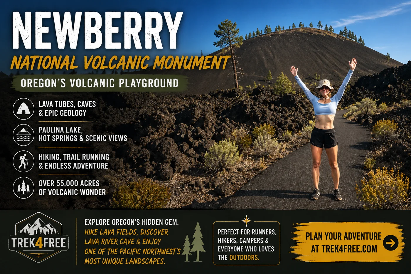
Newberry National Volcanic Monument: Running Through Oregon’s Volcanic Playground
Somewhere during our Oregon trip, Polly said:
“Volcanoes? What does Oregon NOT have?”
That pretty much sums up how we ended up at Newberry National Volcanic Monument.
Tortuga and I had already driven through the giant lava fields at McKenzie Pass. We’d fallen completely in love with Sisters. We had two nights there and one full day left before we needed to start working our way back toward Portland.
The obvious choice seemed to be hiking into the Three Sisters Wilderness.
Then we started looking at permits.
We didn’t have one.
Fine.
What else is around here?
That’s when Newberry showed up.
And once we started reading words like lava tube, caldera, obsidian flow, volcano and Paulina Lake, our Three Sisters plans became:
We’ll come back.
Newberry was happening.
First: Newberry Is Not Just a Little Volcano Outside Bend
This is where the scale starts getting ridiculous.
Newberry National Volcanic Monument protects roughly 55,500 acres within Deschutes National Forest, including the Newberry caldera, upper slopes of the volcano and much of its Northwest Rift Zone.
Newberry Volcano itself is enormous.
This isn’t the classic Mount Hood-style cone rising dramatically by itself on the horizon. Newberry is a broad volcanic system covered with lava flows, vents, cinder cones, lakes, forest and miles of trails.
You can be standing on it without fully appreciating that you’re standing on a volcano.
That was part of what made the place so interesting to us.
We weren’t just looking at geology.
We were running through it.
Our Plan Started With Lava River Cave — And Hit a Wall
The first thing we wanted to do was Lava River Cave.
A lava tube. Over a mile long. Stays at 42°F year-round. In Oregon. Obviously yes.
Here is what we did not understand before we arrived:
Lava River Cave is not inside the Newberry caldera.
It sits 12 miles south of Bend on Highway 97, managed by the same Deschutes National Forest that manages Newberry — but it is a separate site, outside the monument boundary. The USFS promotes Lava River Cave and Newberry together so consistently in their marketing that many visitors (including us) assume the cave is part of the caldera experience.
It isn’t. And that distinction matters for planning.
Because Lava River Cave operates on a timed-entry reservation system, and when we looked, it was booked completely solid. Not just that day. As far ahead as we could see. Every slot gone.
A few things to know before you go:
- Reservations are required — book at Recreation.gov well in advance, not from the parking lot
- The cave is open Friday through Monday only — closed Tuesday through Thursday
- Season runs approximately May through mid-September
- There is a $2 processing fee per vehicle even though the cave entry itself is free
Lesson learned the hard way:
If Lava River Cave is on your list, treat it like a restaurant reservation you need to make weeks ahead — not something you figure out when you get there.
We were disappointed for approximately five minutes.
Then we looked at the actual map of the monument.
The Part Nobody Tells You: No Reservation Required for the Monument
Here is the thing the official website does not lead with:
You do not need any reservation to visit Newberry National Volcanic Monument.
The caldera. Paulina Lake. East Lake. The Big Obsidian Flow. The trails. The waterfalls. All of it is open.
The confusion happens because the official Newberry pages prominently feature Lava River Cave — which does require a reservation — without making it obvious that the cave is a separate site from the caldera area. Someone reading about Newberry, seeing “reservation required,” can easily conclude the whole monument needs advance booking.
It doesn’t.
When we realized we weren’t locked out of anything except the specific cave, we looked at the map differently.
What was left to do?
A lot.
Newberry had plenty left to show us.
So We Went Running Instead
This is generally how Tortuga and I solve travel problems.
Can’t get into the cave?
Find dirt.
We found the Deschutes River Trail — connecting Dillon Falls to Benham Falls along the Deschutes River south of Bend — and took off running.
What was supposed to be a consolation plan became, in Polly’s words:
“Probably the most amazing trail I have ever run.”
That is not a throwaway quote. Polly has run a lot of trails.
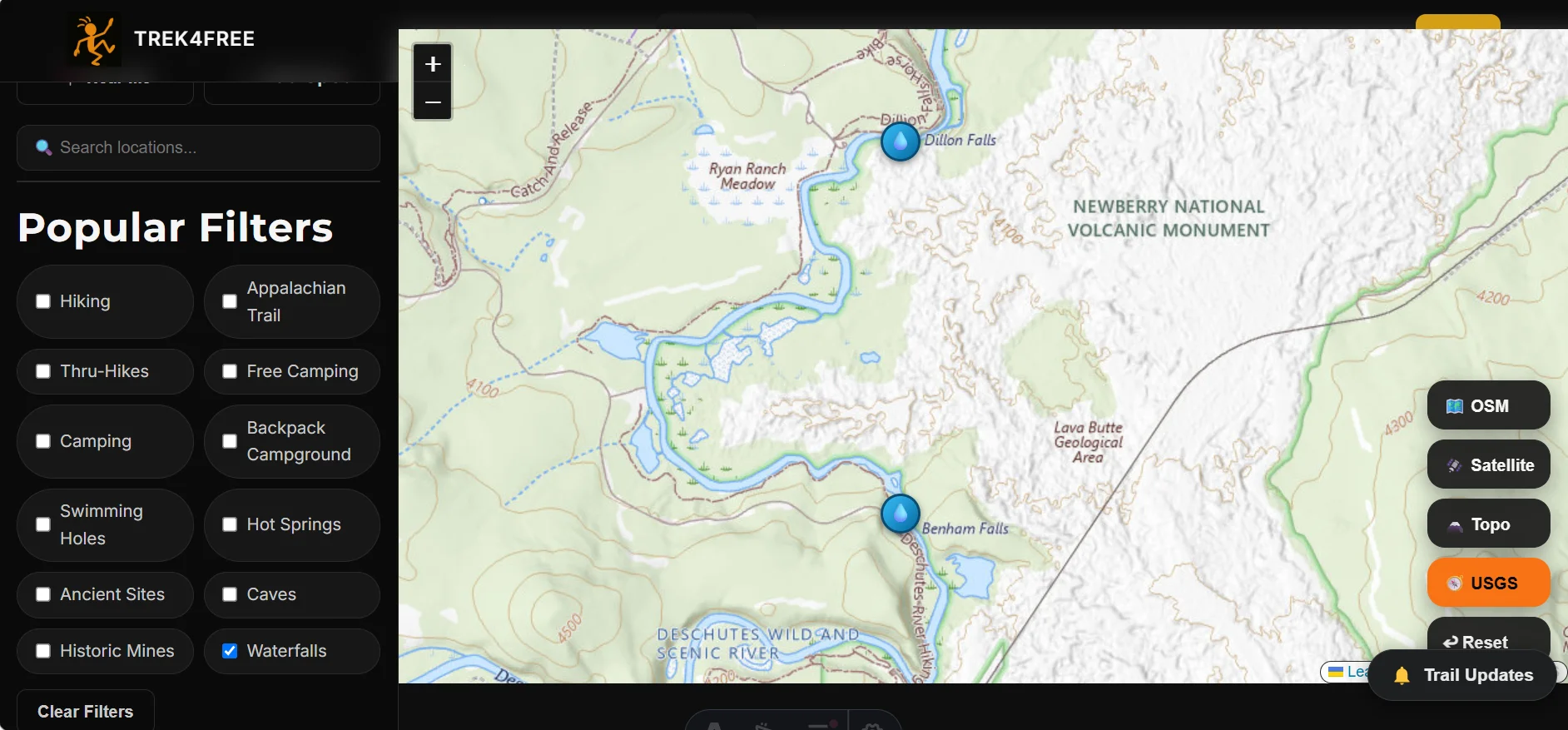
The trail runs roughly 4.5 miles between Dillon Falls and Benham Falls. We ran it out and back for about 10 miles total.
The trail is mostly shaded through dense ponderosa pine with a few open sections where volcanic rock takes over underfoot. The river stays close the whole way.
What makes it special:
The boat launch areas appear at regular intervals throughout the corridor — and every one of them has a restroom. For trail runners, this changes the calculation entirely. You’re never more than a couple miles from a real bathroom. That kind of infrastructure is rare on a route this good.
And the scenery does not stop.
You start at the falls. Then you’re in deep forest with river beside you. Then you’re at a boat launch looking out over the Deschutes. Then you’re back into ponderosa shade. Then volcanic rock underfoot. Then falls again.
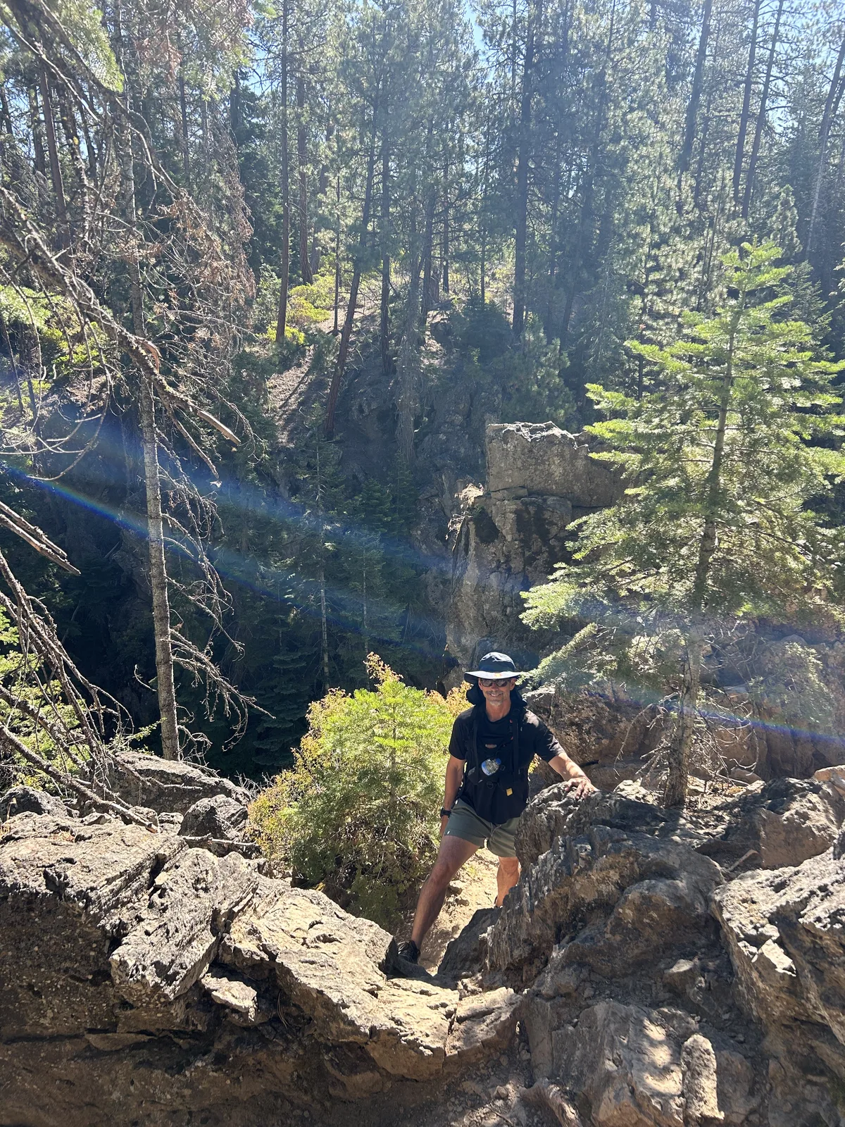
River. Forest. Lava. Rock. Water. Shade.
Repeat. It never gets repetitive.
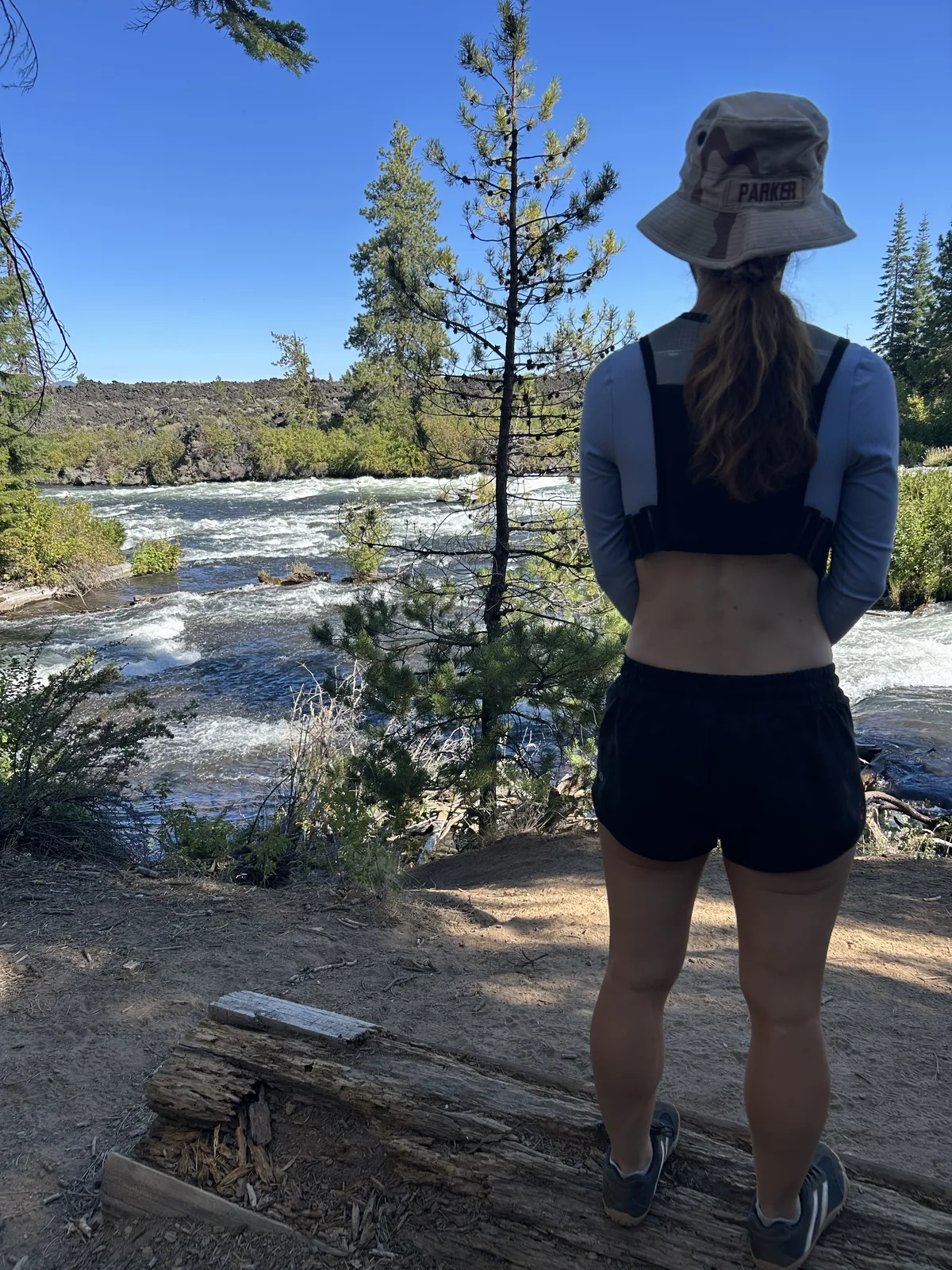
After days of running the McKenzie River corridor, across a beach, and up the Basalt Rim at Thurston Hills, this gave us yet another completely different landscape underfoot.
That became one of the themes of Oregon:
Just keep running. The landscape will keep changing.
Benham West Trailhead — main access point →
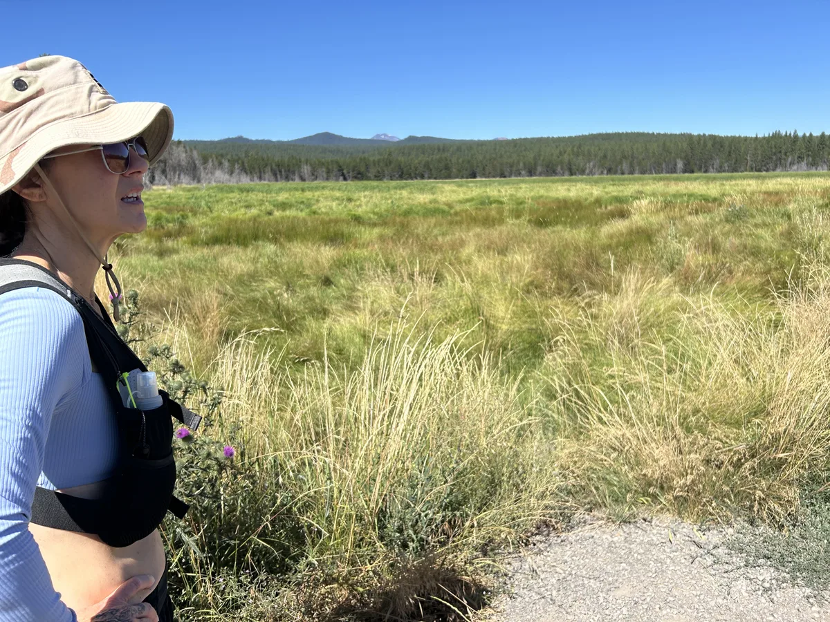
What Is a Caldera, Anyway?
If you’re visiting Newberry, understanding one word makes the entire place more interesting:
Caldera.
A caldera is a large volcanic depression created when the ground collapses following major volcanic activity and withdrawal of magma below.
Newberry’s caldera is roughly five miles across.
And inside it?
Two lakes.
Paulina Lake and East Lake.
That alone broke our mental image of what a volcano was supposed to look like.
Instead of staring up at one symmetrical cone, you can drive into a giant volcanic basin containing lakes, forest, hot springs, obsidian and evidence of eruptions spanning thousands of years.
Newberry is less look at that volcano and more:
Wait…all of THIS is the volcano?
Yes.
Paulina Lake: A Lake Inside a Volcano
Paulina Lake sits inside Newberry’s caldera and is the larger and deeper of the two major caldera lakes.
The lake is fed by precipitation, snowmelt and thermal springs rather than a major inlet stream. Paulina Creek drains it through the western side of the caldera and cuts a gorge that includes Paulina Falls.
There is also a roughly seven-mile Paulina Lakeshore loop for people who want to experience the lake on foot.
And yes — swimming is a thing.
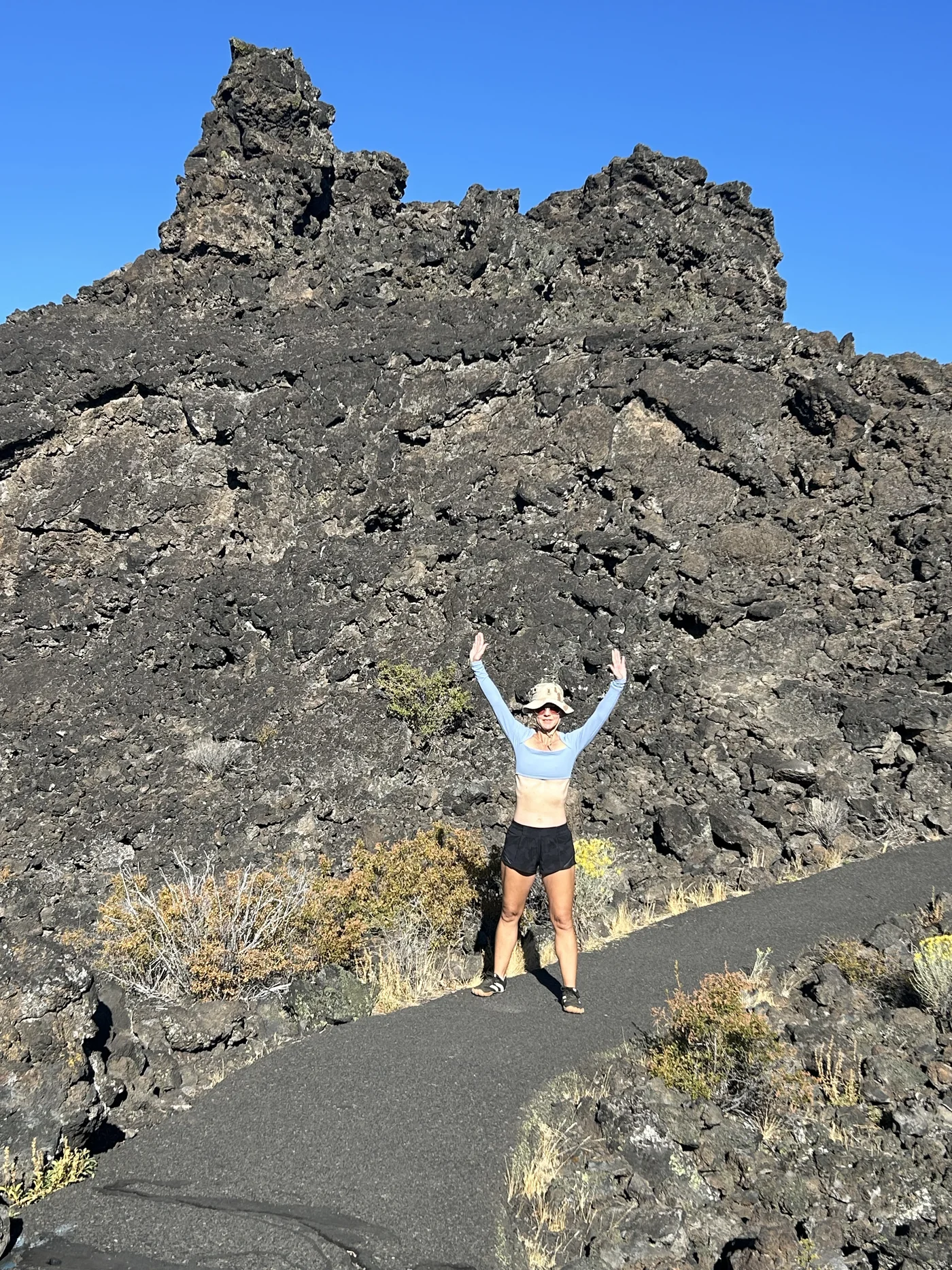
After running through Newberry, getting into the water felt pretty fantastic.
This was especially funny after our earlier Oregon experience near Cougar Reservoir, where Polly tried to get into the river and approximately three seconds later decided her legs were turning into ice.
Central Oregon had finally produced water we could voluntarily enter.
Big Obsidian Flow: Oregon’s Youngest Lava Flow
This is one of the places we wish we’d had more time to explore.
The Big Obsidian Flow is about 1,300 years old and is the youngest lava flow in Oregon.
Obsidian is volcanic glass.
So imagine an eruption producing a thick, slow-moving mass of incredibly viscous rhyolitic lava that cools into black glass and pumice.
That’s Big Obsidian Flow.
The eruption wasn’t simply lava quietly oozing onto the landscape. USGS research describes an eruptive sequence that included pumice and ash, pyroclastic flows and finally the obsidian-rich lava flow itself.
Today there’s a short interpretive trail that climbs onto the flow.
If geology is even remotely interesting to you, put this on the list.
We certainly are.
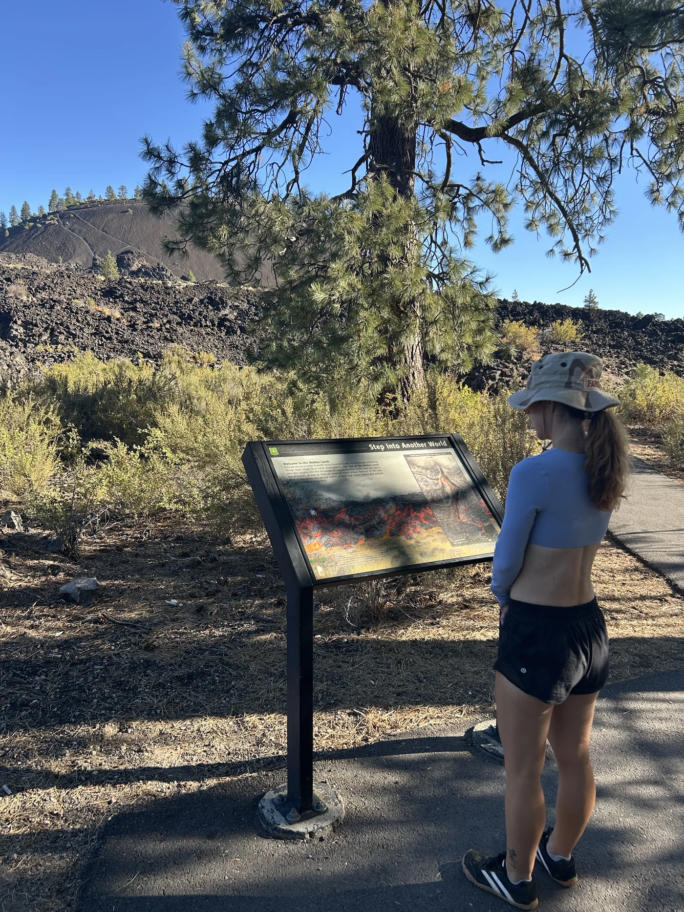
Lava Butte: The Volcano You Can Immediately Understand
If Newberry’s enormous scale is difficult to visualize, Lava Butte makes things easier.
Lava Butte is a cinder cone on Newberry’s northwest flank, rising roughly 500 feet above its lava flow.
Around 7,000 years ago, lava from this area traveled west toward the Deschutes River, blocking and permanently altering the river’s course.
The Lava Lands Visitor Center sits near the base and is one of the best orientation points for understanding the monument.
This is where Newberry starts making visual sense.
Cone.
Crater.
Lava flow.
Okay.
Volcano.
Got it.
Then you realize that’s just one feature sitting on a volcanic system vastly larger than the cinder cone itself.
Back to having our minds blown.
Lava River Cave: How a Lava Tube Forms
Lava tubes form when the surface of a flowing lava stream cools and hardens while molten lava continues moving underneath.
Eventually the lava drains away.
What’s left is a tunnel.
At Lava River Cave, that process produced one of Oregon’s best-known lava tubes.
The cave is cool, dark and undeveloped enough that this isn’t a flip-flops-and-cell-phone-flashlight attraction.
If we get our reservation next time, we’re bringing proper layers and lights and treating it like the underground adventure it is.
Each timed entry slot gives you two hours inside. The Forest Service estimates about 1.5 hours for the full cave exploration, so that window is enough — but don’t start late and expect to rush through it.
Oregon has more wild caves and lava tubes worth exploring — see Oregon caves →
Newberry Is Still an Active Volcano
Here’s another detail that makes walking around Newberry considerably more interesting:
It is still considered an active volcano.
That doesn’t mean you’re likely to see lava bubbling beside the trail during your vacation.
It means Newberry has erupted repeatedly in geologically recent time and remains a monitored volcanic system.
Its youngest eruption produced the Big Obsidian Flow only about 1,300 years ago — practically yesterday by geologic standards.
The U.S. Geological Survey’s Cascades Volcano Observatory monitors Newberry along with other Cascade volcanoes.
Standing in a forest surrounded by lakes makes it easy to forget what’s underneath you.
Then you step onto lava.
Oh yeah.
Volcano.
Paulina Falls: The Waterfall Inside the Volcano
Paulina Creek drains Paulina Lake through the western caldera wall and drops as Paulina Falls — a 60-foot plunge you can stand close enough to feel.
There is also Upper Paulina Falls higher on the creek, accessible from the same trail system.
The falls sit at the western edge of the caldera — accessible on foot from the Paulina Lake area and a natural stopping point for anyone exploring the monument.
After our trail run on the Deschutes River corridor and then the drive into the caldera, standing beside Paulina Falls felt absolutely worth lingering over.
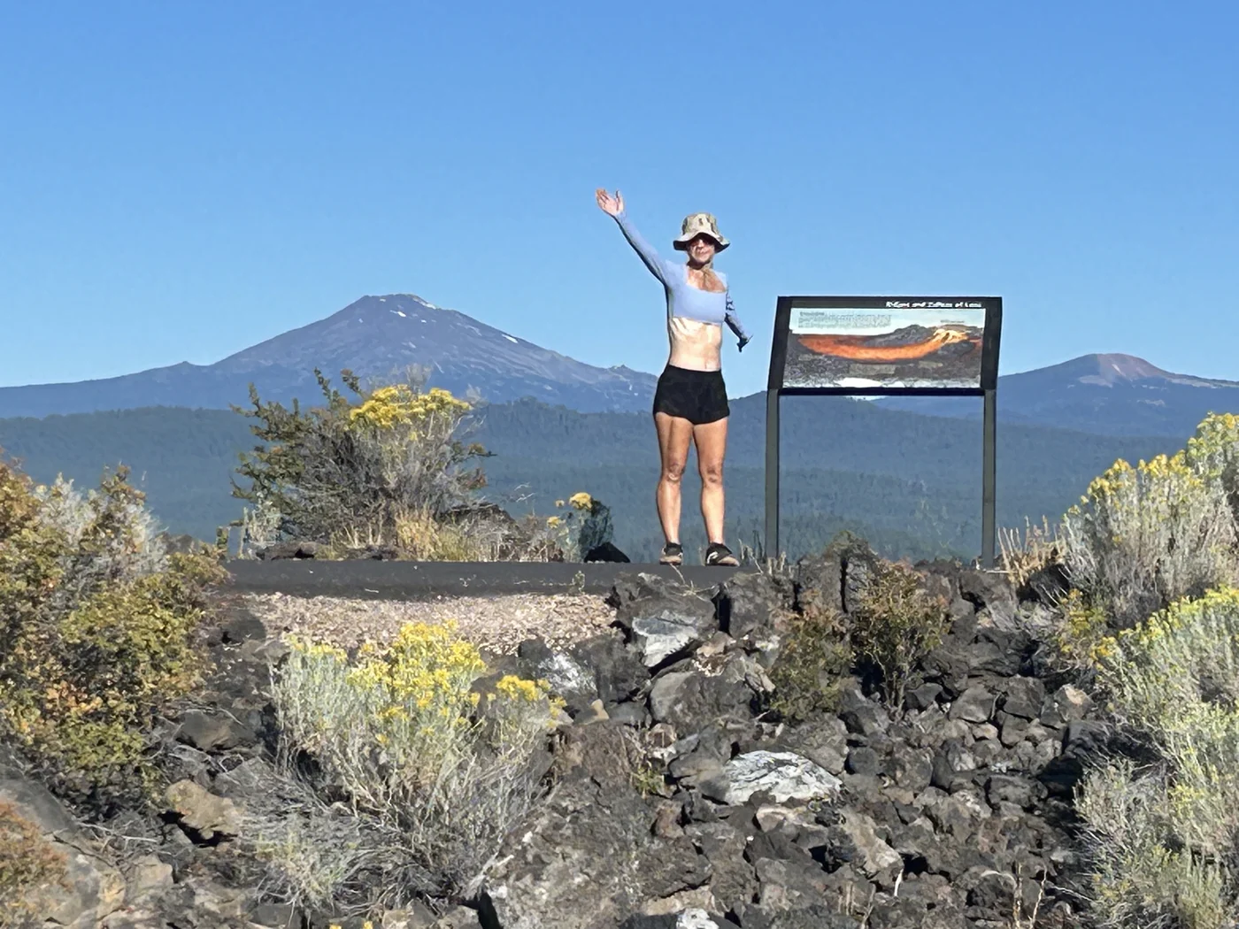
That’s something we learned repeatedly on this trip:
You think you’ve driven somewhere to see lava.
Oregon says:
Would you also like a lake?
A waterfall?
A forest?
A volcano?
A trail?
Sure.
Why not?
How Much Time Should You Give Newberry?
We gave Newberry a day.
That was enough to have an amazing adventure.
It was not enough to exhaust the place.
If we return, we’d seriously consider giving the monument two days.
Day One
- Lava Lands Visitor Center
- Lava Butte / Trail of the Molten Land
- Reserved Lava River Cave time (book before you arrive)
- Short trails and geology stops
Day Two
- Newberry Caldera
- Paulina Lake
- Paulina Falls
- Big Obsidian Flow
- East Lake
- Longer hike or trail run
That would allow us to actually absorb what we’re seeing instead of discovering another fascinating thing every hour and realizing we don’t have time for it.
Hiking and Trail Running at Newberry
This is where Newberry became our kind of destination.
You don’t have to experience the monument from overlooks and parking lots.
The trail network is substantial:
- Deschutes River Trail — Dillon Falls to Benham Falls — ~4.5 miles one-way (9–10 miles out and back). Mostly flat, almost entirely shaded ponderosa pine. Boat launch restrooms throughout. The best trail running corridor in the area. Our top recommendation.
- Paulina Lakeshore Trail — 7.8 miles around Paulina Lake inside the caldera. Shoreline views, caldera rim above you, and mixed forest sections. Starts and ends near Paulina Falls.
- Crater Rim Trail — longer route around the caldera rim with elevation and views
- Big Obsidian Flow Trail — 1-mile interpretive loop directly on the 1,300-year-old flow
- Paulina Peak Trail — climbs to the highest point on the caldera rim, views of the entire volcanic system
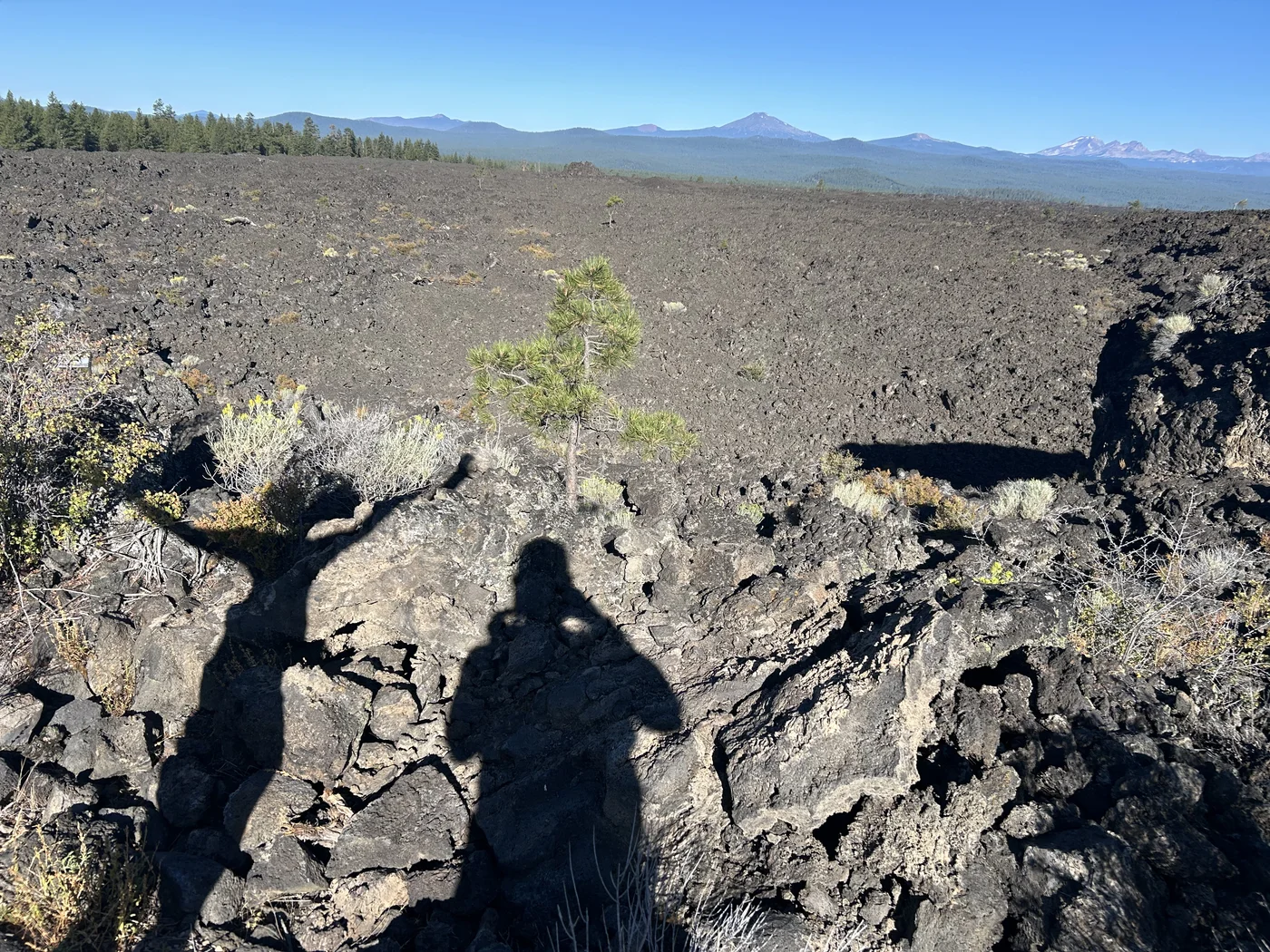
Our advice after running about ten miles here:
Bring more water than you think you’ll want. Volcanic terrain can be exposed and dry even on shaded routes.
Use Trek4Free Explore to plan your route — switch to USGS Topo layer to see the trail network and caldera boundaries before you go. Download it before you lose cell signal on Paulina Lake Road.
Expect the surface to change constantly. Forest, lava, shoreline, open terrain.
And stop occasionally.
We are terrible at that last one.
But when you’re running through a landscape created by eruptions, it’s worth remembering to look around instead of staring at your feet for ten miles.
Summer Conditions: Heat, Cold and Fire
Central Oregon weather became one of our favorite surprises.
Mornings could be legitimately cold.
Afternoons warmed quickly.
The air was dry enough that temperatures that sounded hot on paper felt far more comfortable to us than the humid Texas coast.
But elevation changes things quickly, and volcanic terrain can be exposed.
Bring layers.
Also pay attention to wildfire conditions.
We encountered significant smoke around Prineville on our final travel day while other parts of our route remained relatively clear.
Check current Forest Service alerts and Central Oregon fire conditions before committing to a route.
Where to Base Yourself
For us?
Sisters.
We fell hard for that town.
Newberry is south of Bend, so Bend and La Pine are more convenient if Newberry is the main purpose of your trip.
But we weren’t doing a Newberry vacation.
We were doing an Oregon-is-amazing-what’s-over-there? vacation.
Sisters gave us the mountain-town experience we loved, and Newberry became an easy full-day adventure.
If you’re building an itinerary specifically around Newberry, Bend or La Pine will reduce driving.
If you’re exploring the broader Central Oregon area, don’t automatically overlook Sisters.
We certainly won’t again.
What We Missed — And Why That’s Fine
We missed Lava River Cave.
We didn’t hike every trail.
We didn’t fully explore Big Obsidian Flow.
We didn’t spend enough time around Paulina and East lakes.
And that’s okay.
One of the best things we did on this trip was stop treating missed attractions as failures.
When the cave reservation didn’t work, we went running.
That run became one of the memories we’ll keep from Oregon.
Travel doesn’t always need to be a completed checklist.
Sometimes the thing that doesn’t work is what sends you toward the thing you’ll remember.
The Trek4Free Take
Newberry National Volcanic Monument surprised us because we didn’t really understand what we were going to see.
We thought: volcano.
What we got was: lava tubes, cinder cones, lakes inside a caldera, waterfalls, obsidian, forest, trails, wildlife, swimming and an active volcanic system underneath the whole thing.
And somewhere in the middle of it, Tortuga and Polly ran about ten miles because that’s apparently how we measure whether we like a place.
We liked it.
A lot.
If you’re headed to Central Oregon, don’t make Newberry the thing you squeeze in after Bend.
Dispersed camping near Newberry: The Paulina-East Lake Road Dispersed Camping site sits on the forest road leading into the monument — outside the caldera boundary where camping is prohibited. Legal Deschutes NF land, no fee, 14-day limit. This is the practical free option for a Newberry-focused trip.
Give it a day.
Better yet, give it two.
Book Lava River Cave before you arrive — not from the parking lot. It books out weeks ahead.
Bring your running shoes.
And if Oregon has already convinced you that you’ve seen every kind of landscape it could possibly have?
Just wait.
There’s probably another volcano around the corner.
Find trails and free camping near Bend → | Free camping near Newberry → | Oregon lava caves → | Sisters, Oregon trail running →
Before You Go
 Running Hydration Vest
This is the vest Polly actually wears on trail runs — including this one. Ten miles through exposed volcanic terrain is exactly the kind of run where carrying your own water beats hoping you'll find some.
Running Hydration Vest
This is the vest Polly actually wears on trail runs — including this one. Ten miles through exposed volcanic terrain is exactly the kind of run where carrying your own water beats hoping you'll find some.
 Five-Toe Running Socks
Ten miles is enough distance for toe-on-toe friction to turn into a real problem by mile six. Toe pockets stop that friction before it starts instead of taping it up after.
Five-Toe Running Socks
Ten miles is enough distance for toe-on-toe friction to turn into a real problem by mile six. Toe pockets stop that friction before it starts instead of taping it up after.
 Coast WPH20R Headlamp
You cannot do Lava River Cave without a real light source — not a phone flashlight. The cave is a mile of unlit lava tube. Bring this and bring a backup. The Forest Service won't let you in without adequate lighting.
Coast WPH20R Headlamp
You cannot do Lava River Cave without a real light source — not a phone flashlight. The cave is a mile of unlit lava tube. Bring this and bring a backup. The Forest Service won't let you in without adequate lighting.
 Low Beach & Camp Chair
After 10 miles and a swim in Paulina Lake, you want something low and easy that doesn't fight you to sit down. Compact enough to live in the van full-time.
Low Beach & Camp Chair
After 10 miles and a swim in Paulina Lake, you want something low and easy that doesn't fight you to sit down. Compact enough to live in the van full-time.
Trip Planning
These are affiliate links — we appreciate your support, no extra cost to you.
Planning Sources
- Trek4Free Explore — Newberry area trails and free camping
- Lava River Cave on Trek4Free →
- Paulina-East Lake Road Dispersed Camping →
- Lava River Cave Reservations — Recreation.gov
- Deschutes National Forest Alerts & Closures
Coordinates: 43.7228°N, 121.2331°W | Newberry National Volcanic Monument, Deschutes National Forest, OR