McKenzie River, Oregon: Twin Falls, a Volcanic Spring, and a Trail That Runs Through All of It
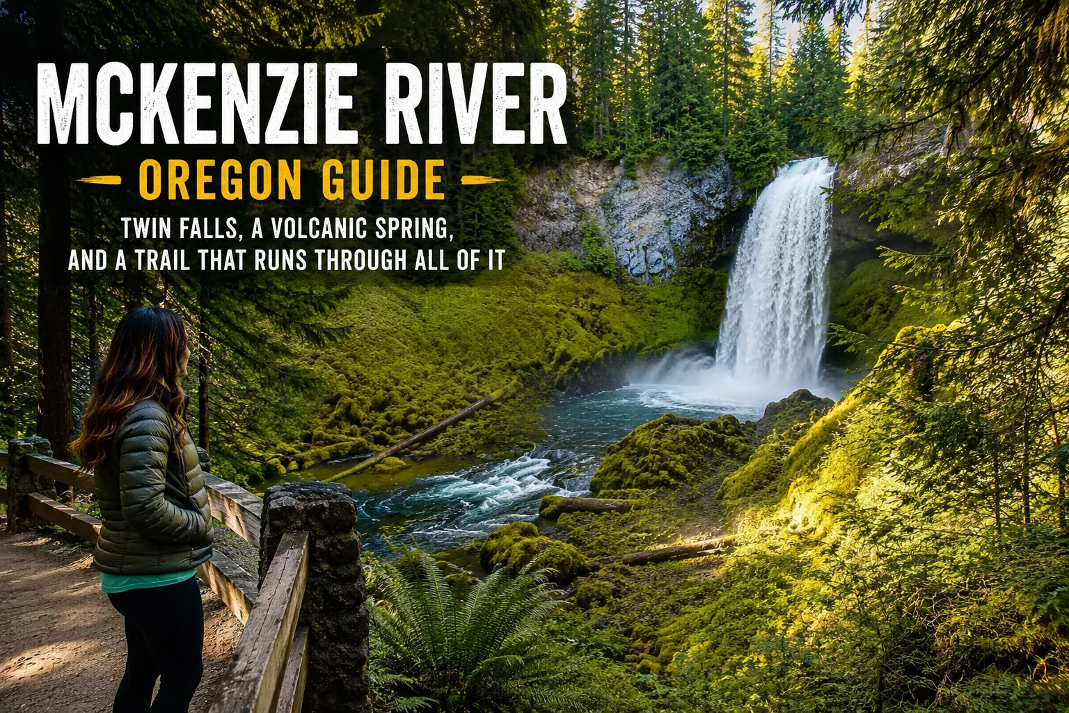
McKenzie River, Oregon: Twin Falls, a Volcanic Spring, and a Trail That Runs Through All of It
We came up the McKenzie River corridor expecting a pretty drive.
We were not ready for what it actually is.
Tortuga and I had just spent the morning at the Oregon coast watching sea lions haul themselves onto rocks and squint at tourists. We drove inland from Florence, picked up OR-126 east of Eugene, and within ten minutes understood that we were going to need the rest of the trip to process what we were looking at.
The forest is absurdly green. Not green for Oregon green — green in a way that suggests the trees are actively competing to see which one can absorb the most moisture before the next one does. Old-growth Douglas fir lining both sides of the road, the river running alongside it, the whole thing lit with a kind of filtered green light that doesn’t look like it belongs on the same continent as Texas.
Polly photographed the first six miles.
We stopped the van at the second pullout.
It only got better from there.
What the McKenzie River Actually Is
The McKenzie River doesn’t start like most rivers.
It begins at Clear Lake — a body of water formed roughly 3,000 years ago when a volcanic lava flow dammed an ancient river valley and drowned the forest that stood there. The lake is fed by springs emerging from the cooled lava beneath it, which keeps the water a steady 35°F year-round. That temperature is cold enough that the trees the lava killed never decomposed. The ancient forest — still standing, still upright — is preserved perfectly under the clear water. You can rent a rowboat and float over firs that were alive 3,000 years ago.
From Clear Lake, the river runs 90 miles through the Willamette National Forest to the Willamette River at Eugene, picking up spring water from volcanic aquifers the whole way down.
That’s why the water is that color. It’s not snowmelt running gray. It’s spring water filtered through lava for millennia coming up cold and clear and blue-green and then running through one of the greenest forests in North America.
Sahalie Falls — The One You’ve Seen in Photos
The falls hit you faster than you expect.
Sahalie Falls is about 56 miles east of Eugene and requires about a five-minute walk from the parking area — less if you’re moving with any urgency, which you will be once you hear it through the trees.
The river drops 100 feet into a basalt bowl in a single clean plunge.
When we say plunge, we mean the McKenzie River — a full river, not some creek — simply leaves the edge of a lava shelf and falls 100 feet straight down into a cloud of mist that turns the whole area around it permanently cool and wet. The spray coats the rocks. The ferns are enormous. The sound is constant.
Sahalie is a Chinook word meaning “high” or “heaven.” We have no notes on the naming committee’s accuracy.
This is the most-visited waterfall in the Willamette National Forest. There’s a reason for that, and you’ll understand it about three seconds after you arrive at the overlook.
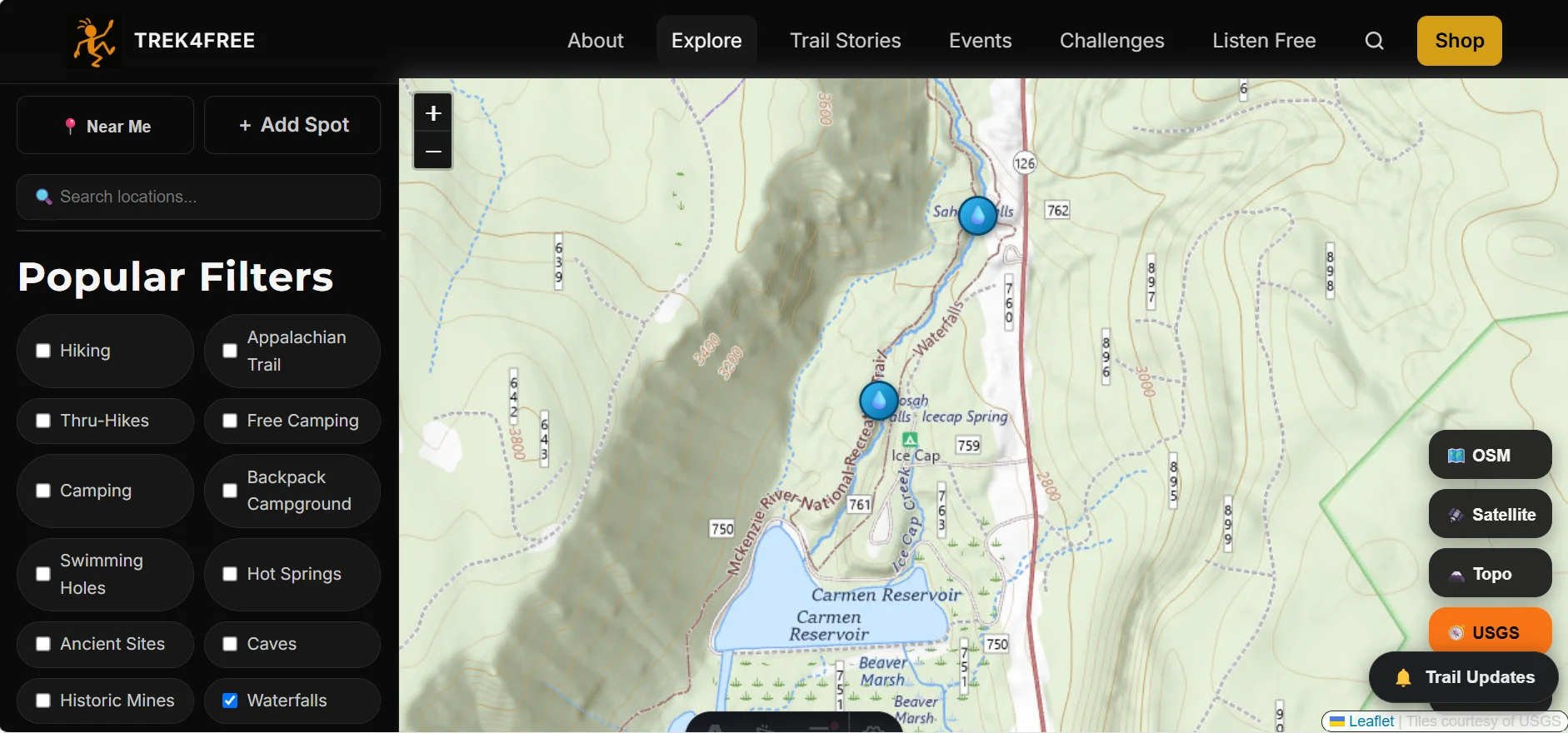
Koosah Falls — Walk 0.6 Miles Downstream and Do It Again
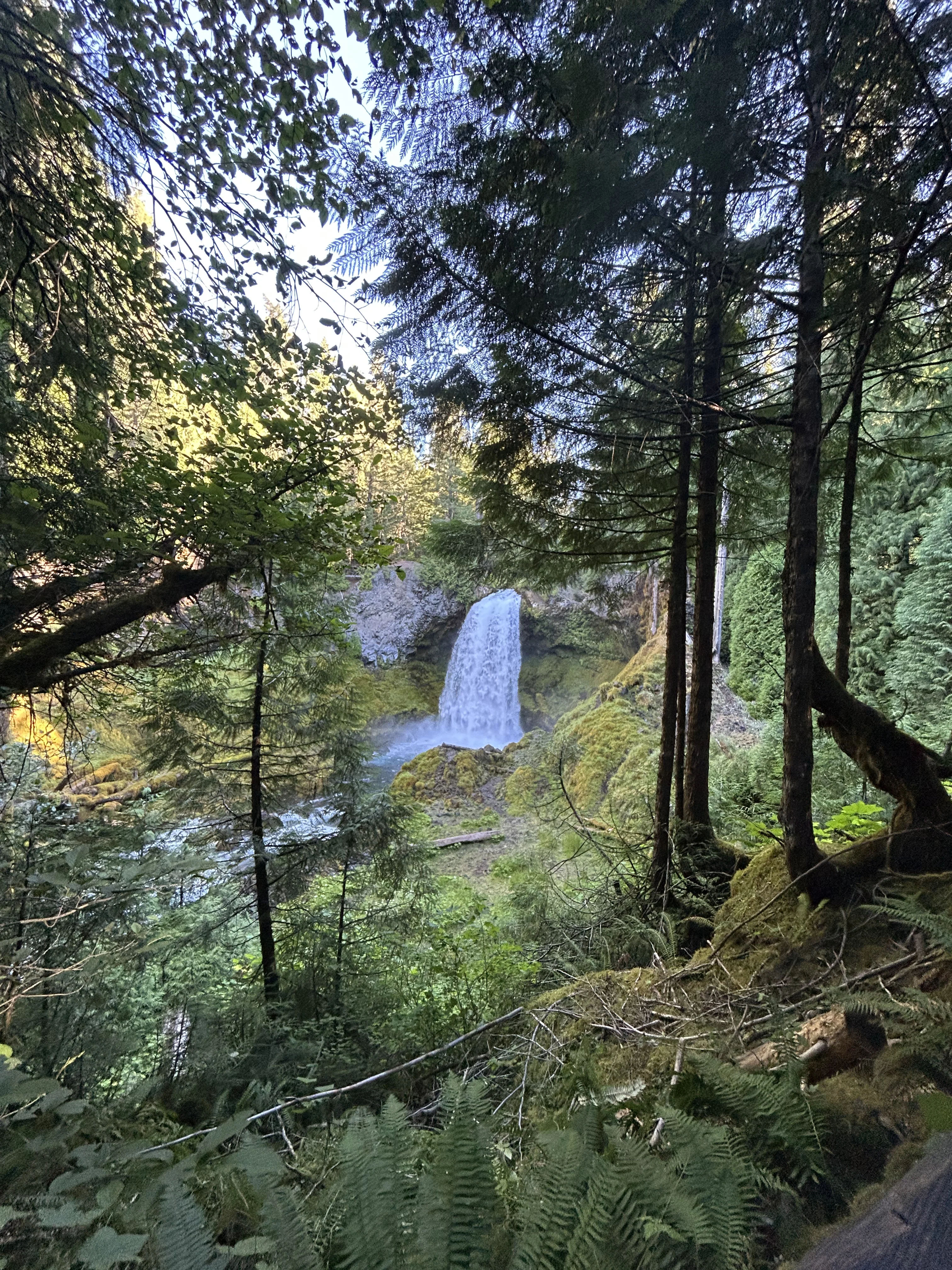
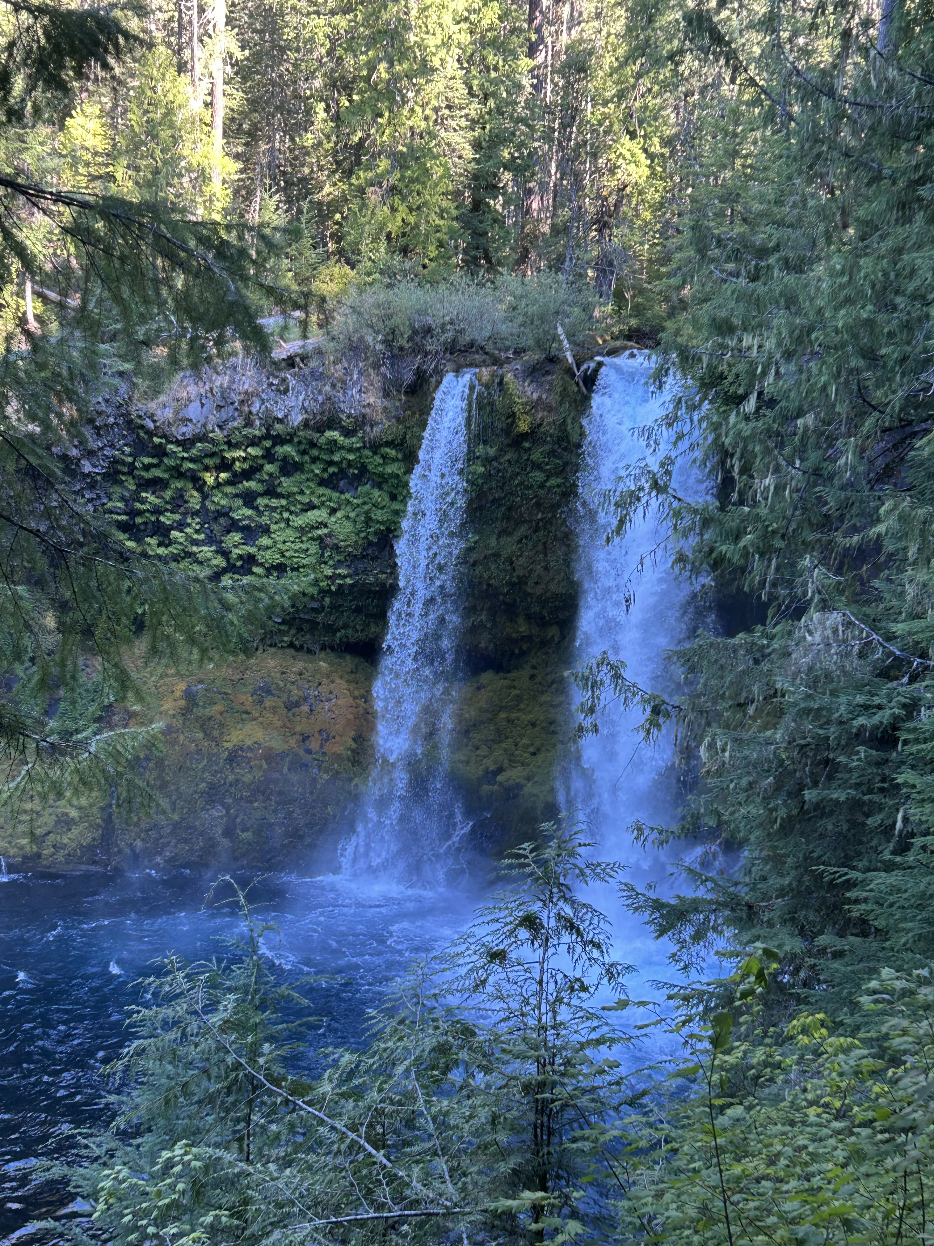
Continuing the trail from Sahalie, about 0.6 miles downstream, you arrive at Koosah Falls.
Koosah means “sky” in Chinook.
Where Sahalie is a single dramatic plunge, Koosah is wider and more cascading — 70 feet of the McKenzie River rolling over a broad basalt ledge and spreading into the canyon below. The water fans out into something that looks almost like a deliberate design choice. It’s a completely different experience from Sahalie despite being less than a mile apart.
Both falls are connected by a paved accessible trail. A 2.8-mile loop takes you past both falls, along the river, and through the forest corridor between them. It is one of the more spectacular 2.8 miles available in Oregon.
Do both. There’s no version of this where you walk to one and skip the other.
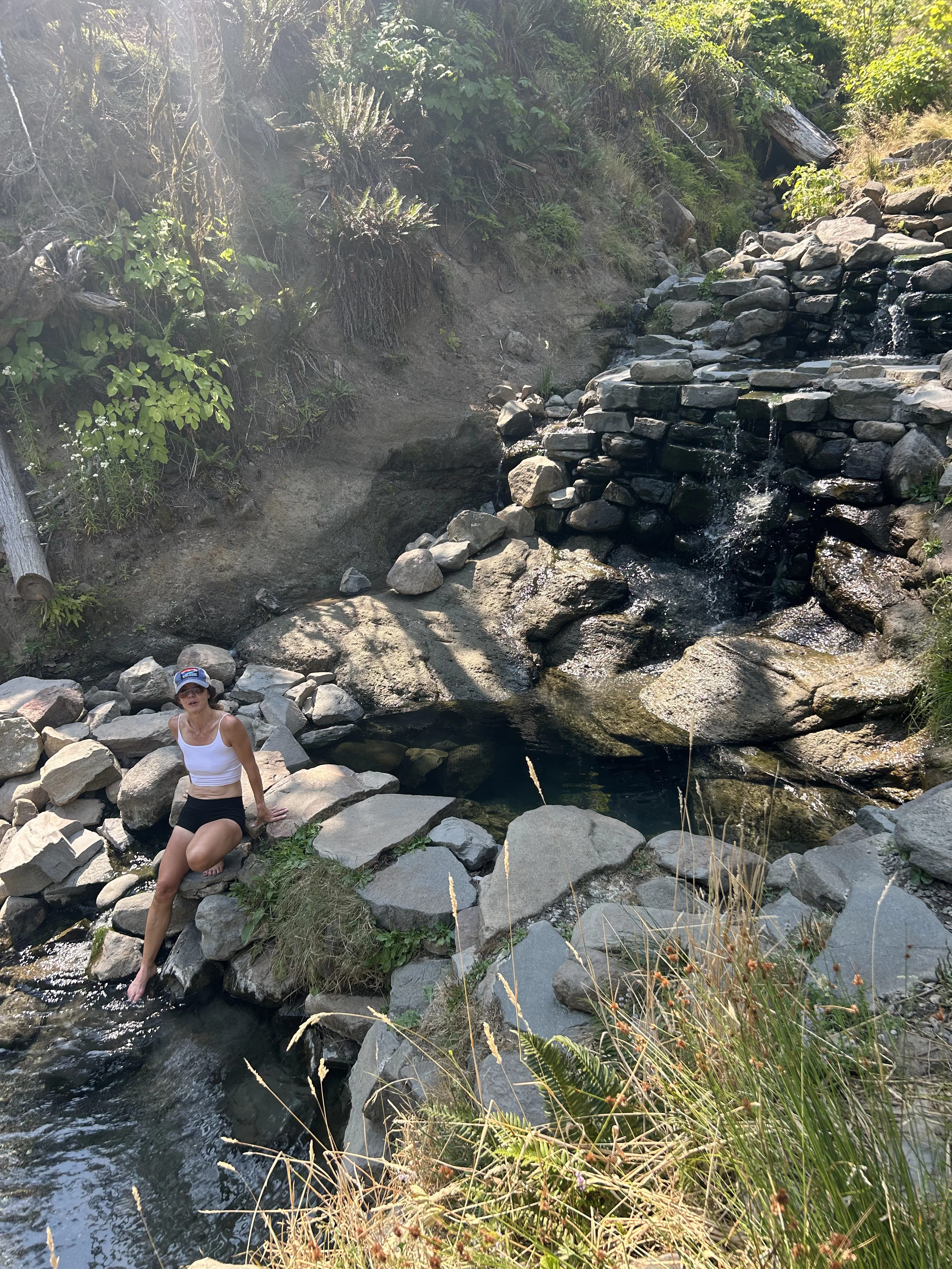
The McKenzie River National Recreation Trail
Beyond the two waterfalls, the whole corridor is threaded by the McKenzie River National Recreation Trail — 26.5 miles running from the Clear Lake area south through the Willamette National Forest, paralleling the river, passing through old-growth Douglas fir and alongside volcanic springs and lava formations.
Trail runners consider this one of the signature courses in Oregon. Polly ran it in her SWIFTVEST hydration vest — no bounce, holds enough for a long corridor run without stopping.
The single-track is largely runnable with rolling terrain, good footing in dry conditions and several sections where the trail climbs above river gorges with drop-offs into the canyon below. You don’t have to run the whole thing. There are multiple access points with parking and the trail connects to day-use areas with bathrooms spaced along the route.
We ran sections of the trail from the Cougar area on the same day we visited Terwilliger Hot Springs — which is the detour you make when you turn south off OR-126 onto FR-19 at the Cougar Reservoir junction. That run included river-level sections, forested climbs and at least one moment where we ran out of views to describe.
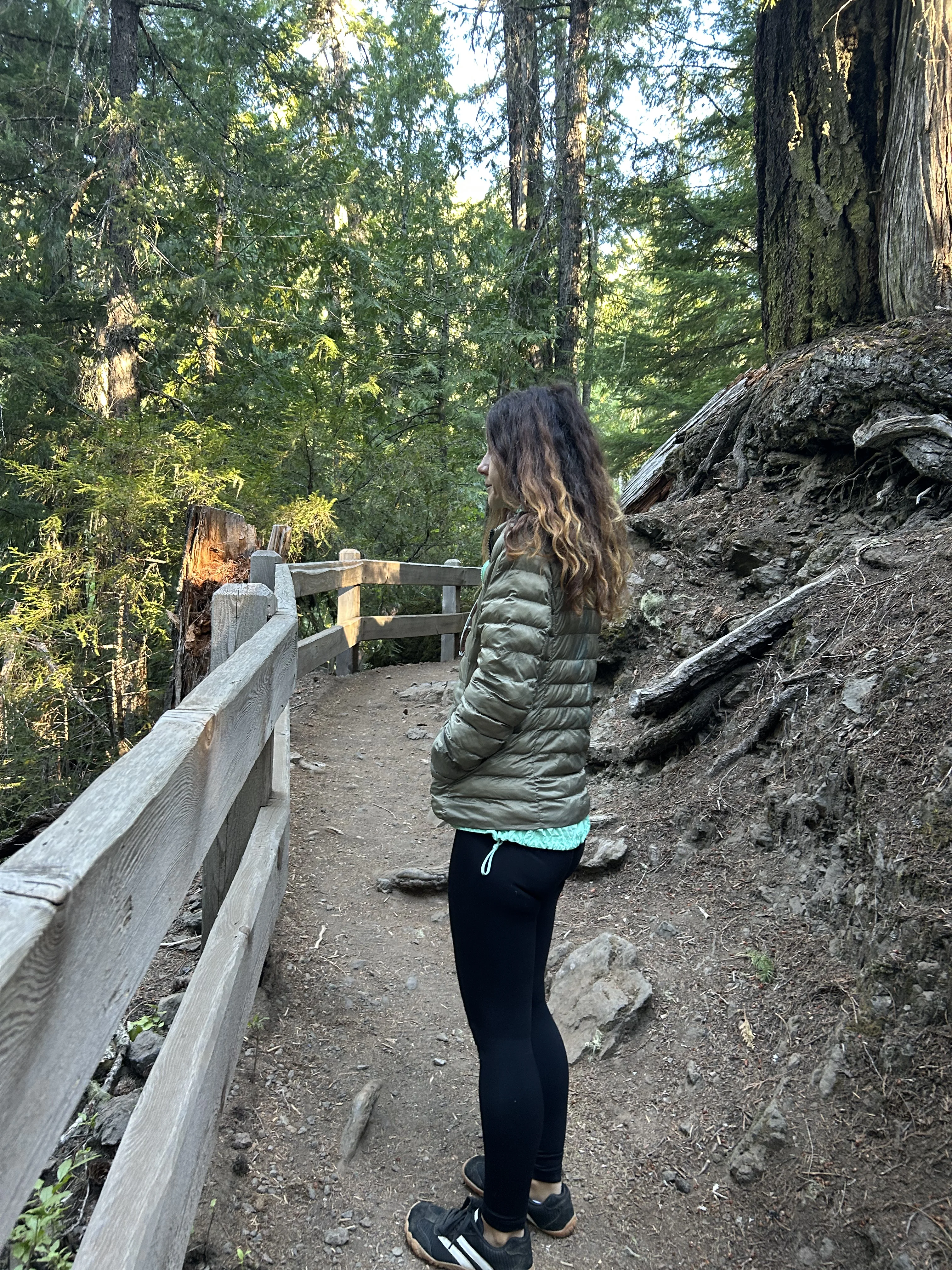
Tamolitch Pool — The Blue Pool That Appears From Nowhere
About 20 miles south of Sahalie Falls, the McKenzie River does something strange.
It disappears.
The water sinks into the porous volcanic rock and flows underground for roughly three miles, leaving a dry basalt canyon above. At the bottom of that canyon is Tamolitch Pool — called the Blue Pool by most people — where the water comes back up from volcanic springs in the lava bed, cold and blue and apparently fed by nothing visible.
In high-water season, the dry falls above the pool run and the scene makes more intuitive sense. In summer and fall, you’re looking at a waterfall made of solid basalt and a pool at the bottom that has no obvious water source.
The pool itself is extraordinarily blue. The water is 35°F. People swim in it. We observed these people from a respectful distance, which felt like the correct choice.
The hike from the Trailhead to the pool is about 4 miles round-trip along the McKenzie River Trail. It’s one of the more unusual half-days available in this corridor.
Terwilliger Hot Springs — Turn South at Cougar Reservoir
If you’re doing the McKenzie corridor, the Terwilliger Hot Springs detour is non-negotiable.
About 35 miles up OR-126 from Eugene, turn south on FR-19 at the sign for Cougar Reservoir. From there it’s roughly 4 miles to the Terwilliger trailhead — a short hike down to a series of terraced natural hot spring pools fed by geothermal water alongside a forest stream.
We wrote an entire article about this because the day we spent at Terwilliger and on the nearby trails was one of the best days of the whole Oregon trip.
Terwilliger Hot Springs full guide →
What the Fire Looks Like From the Road
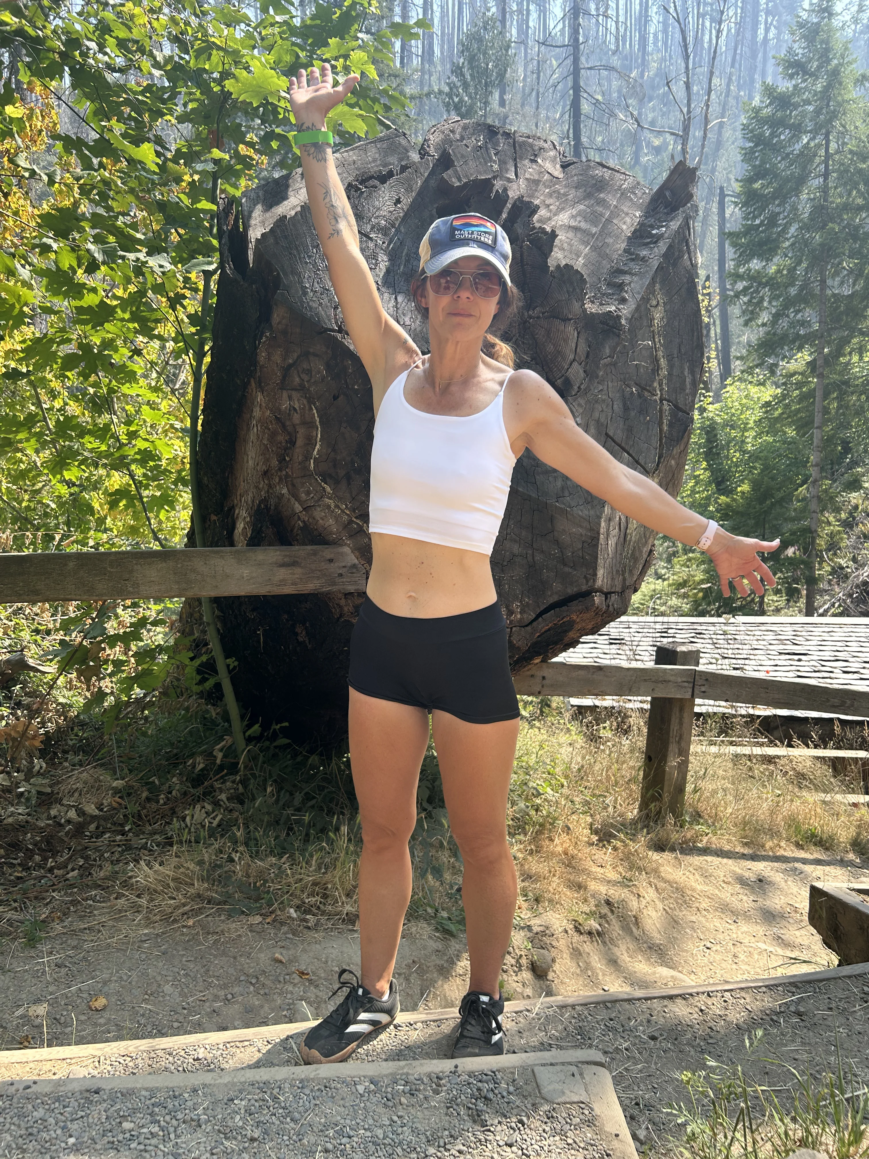
Driving the McKenzie corridor, you’ll notice patches where the forest opens up — standing dead timber among young growth, areas where the canopy is sparse and the light comes all the way to the ground.
Those are Holiday Farm Fire recovery zones.
The Holiday Farm Fire burned in September 2020 during an unusual wind event and moved through approximately 173,000 acres of the McKenzie River Valley, particularly in the lower section west of McKenzie Bridge. It destroyed multiple communities, burned significant sections of the McKenzie River Trail and closed parts of the corridor for years.
By the time we drove through, the recovery was well underway — farther along than we expected.
The surviving old-growth and the lush moisture of the west-side Oregon climate have been working. Young Douglas firs are coming in below the standing dead. Where the fire ran fast and hot it’s more obvious; where it burned patchy, you’d miss it if you weren’t looking.
The corridor as a whole is not defined by the fire. But it’s part of the story of this place now, and you’ll see it clearly enough on the drive.
About the Camping and Infrastructure
The Willamette National Forest has done an impressive job with the McKenzie corridor’s infrastructure.
Multiple developed campgrounds sit along OR-126 and FR-19 — Paradise Campground, Olallie Campground, Delta Campground and others — with vault toilets, potable water (seasonal), and direct river or forest access. Reservations via Recreation.gov for summer weekends.
There are also designated day-use areas with bathrooms at several points along the river and at the Sahalie/Koosah falls trailhead — this is the corridor Tortuga mentioned with boat launches and bathrooms at each stop. The river draws fly fishers, kayakers and rafters, and the infrastructure has been built to support them.
For free camping: dispersed camping is available on Willamette National Forest land outside developed areas and away from the river corridor’s day-use zones. The usual 14-day limit applies. Areas off the main OR-126 on forest roads are worth investigating if you want to avoid the campground scene. This changes seasonally — always check current Forest Service conditions.
The Bigfoot Question
Tortuga raised this on the drive and we’re not going to pretend the conversation didn’t happen.
If Bigfoot exists anywhere, it’s this corridor.
The Pacific Northwest has more credible Bigfoot lore than anywhere else in North America — and the McKenzie River corridor specifically checks every box: old-growth forest that hasn’t been widely disturbed, spring systems that emerge from volcanic rock with no surface source, canyon systems that are accessible only on foot, and a density of vegetation that could genuinely hide a large animal in a way that’s hard to explain to someone who hasn’t stood in it.
We’re not saying we believe.
We’re saying that if you heard something large in the trees near Tamolitch Pool and your immediate instinct was to pick up your pace, we would not judge that instinct.
When to Go
Late spring through early fall is the main window. The falls run year-round since they’re spring-fed, not snowmelt-dependent. That means Sahalie and Koosah are impressive even in late October — the water doesn’t drop the way a snowmelt fall would.
The McKenzie River Trail is best in June through October. If you’re running the full corridor, treat any water from natural sources — the Sawyer Mini weighs two ounces and covers that without thought. Wet spring conditions can make the volcanic clay sections slick. Summer weekends are busy at the falls parking areas — arriving early (before 9 AM) is the standard advice.
Wildfire season (July–September) is the variable. Check current air quality and closures before heading up the corridor. 2020 is a reminder of how fast conditions can change.
The rest of the corridor is genuinely good in shoulder seasons. October in the McKenzie is underrated.
The Trek4Free Take
This is the kind of corridor that changes the mental benchmark for what a river valley should look like.
We drove it, ran part of it, soaked in the hot springs off it and watched the falls from it — and when we were back in Sisters staring at the Cascades over ponderosa country, Polly said she wanted to go back to the McKenzie.
We both did.
Plan a full day minimum. Plan a better day and go back.
Find trails, waterfalls, and camping in Oregon →
Oregon waterfalls directory → | Terwilliger Hot Springs → | Oregon free camping →
Before You Go
These are affiliate links — we earn a small commission at no cost to you. Thank you for supporting Trek4Free.
Planning Sources
- Willamette National Forest — McKenzie River Corridor
- McKenzie River National Recreation Trail — Trail Info
- Recreation.gov — Campgrounds in the McKenzie River Area
- Oregon Wildfire & Smoke Information
Sahalie Falls: 44.3491°N, 121.9972°W | Koosah Falls: 44.3446°N, 122.0006°W | Tamolitch Pool: 44.2876°N, 122.0387°W