State Parks Are Overrun. Here's Where the Solitude Went.
State Parks Are Overrun. Here’s Where the Solitude Went.
Florida’s Wekiwa Springs State Park now sees entrance lines forming before dawn. Maryland’s parks closed their gates 292 times in a single recent season — full capacity, no room. California’s reservable campsites at popular parks vanish within seconds of the booking window opening, six months in advance.
The outdoors got discovered. And now it’s full.
What Happened
The COVID-19 pandemic sent millions of people outside who had never been there before. Parks absorbed the surge. Trails that once felt remote began to feel like sidewalks. The social media effect made it worse — a stunning photo of a quiet slot canyon or a crystal swimming hole gets 50,000 views, and by next weekend, it has a parking problem.
The numbers are real: state park visitation nationally increased 30–50% between 2019 and 2023. Many parks haven’t recovered from that surge — they’ve just normalized it, with reservation systems, timed entries, and parking caps that would have been unthinkable a decade ago.
For the people who were already going to these places before the crowd arrived, it can feel like something was taken. For new visitors, they’re experiencing a version of the outdoors that’s been managed and metered in ways the landscape itself wasn’t designed for.
The Tiered Reality
Not all public land is equally crowded. The outdoor recreation landscape has tiers — and understanding them changes where you can actually find solitude.
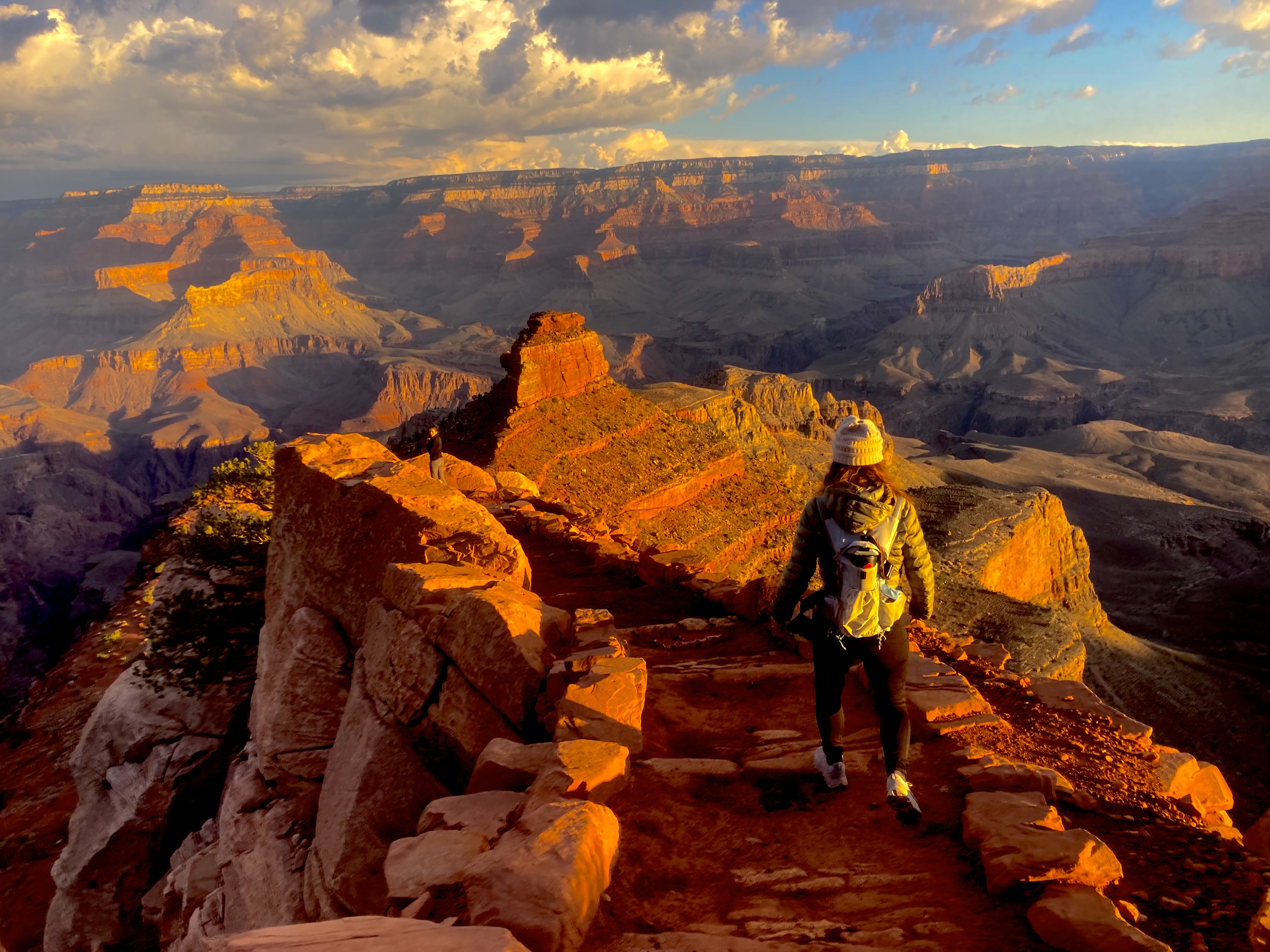
Tier 1 (most crowded): Iconic national parks, popular state parks near major metros, any destination that’s gone viral. If it has a visitor count number attached to it and that number is in the millions, assume you will share it with hundreds of people on any given weekend.
Tier 2 (manageable): Smaller national parks, state forests, and county parks. These often get overlooked because they lack the brand recognition. They frequently have dispersed camping, no reservation system, and trails where you might go an entire morning without seeing another person.
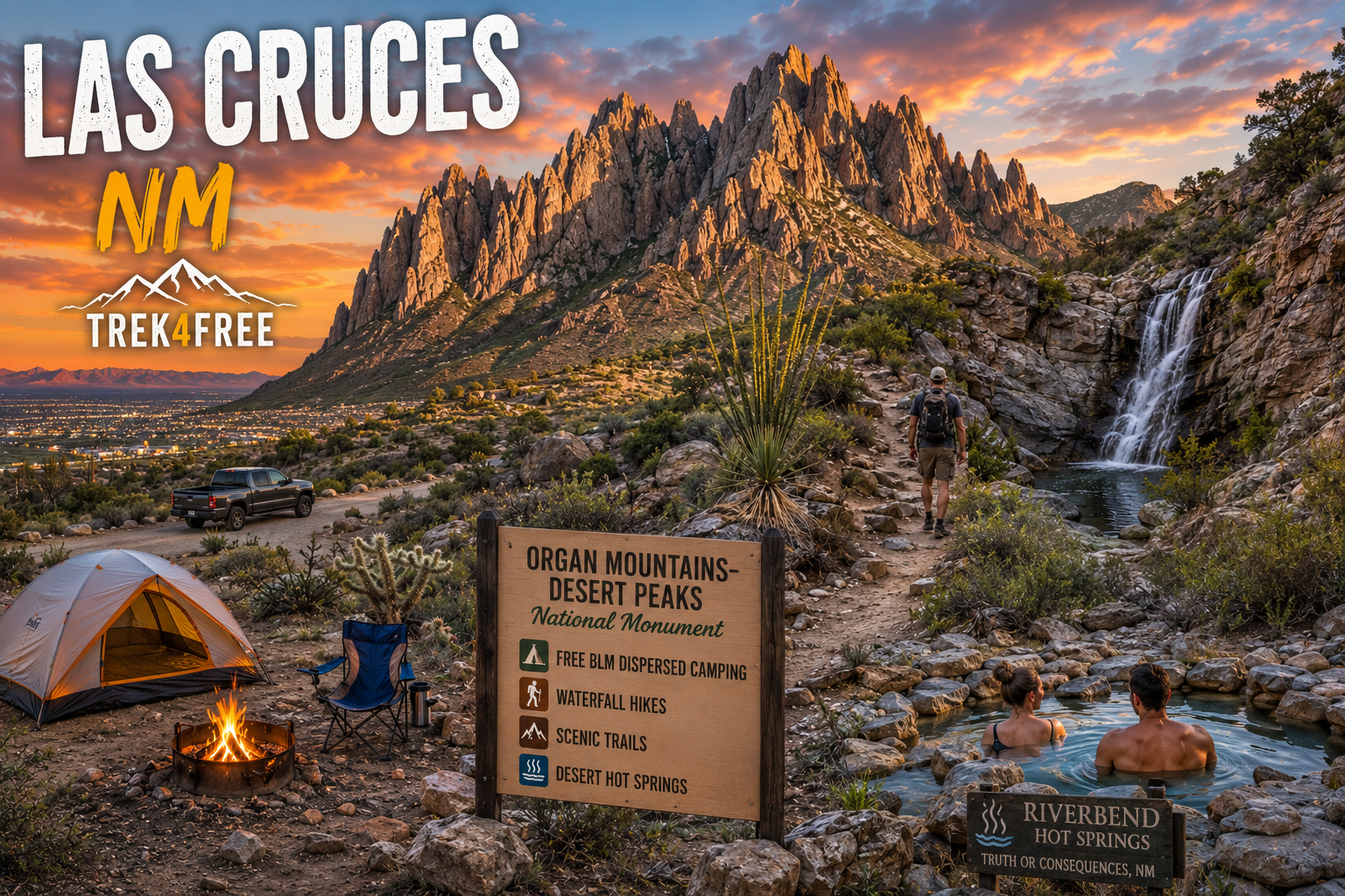
Tier 3 (genuinely empty): National Forest land, Bureau of Land Management (BLM) land, Army Corps of Engineers land. These cover hundreds of millions of acres across the U.S. and most people drive past them on the way to the crowded state park. Dispersed camping — camping anywhere not in a designated site — is generally free and legal on most of this land. No reservation. No fee. No entrance gate.
The Information Gap
Tier 3 land exists in abundance. The barrier isn’t access — it’s information. How do you know where on a 2.8-million-acre national forest you can park a van, set up a tent, and wake up to complete silence?
This is the question Trek4Free was built to answer. The site aggregates free camping locations, trailheads, and dispersed camping areas on public land — National Forest, BLM, USFS — and puts them on a searchable, filterable map. No paywall. No login. No fee.
It doesn’t replace judgment. Conditions change. Roads close. Some areas require permits even on national forest land. But it gives you a starting point that takes the guesswork out of finding the empty places.
The Mindset Shift
Finding solitude now requires deliberate effort. It means choosing a Monday over a Saturday. It means driving an extra 45 minutes past the popular trailhead to the one with no signage. It means being willing to camp somewhere without a numbered post and a fire ring — just a flat spot off a forest road with stars that go edge to edge.
The wilderness hasn’t gotten smaller. The herd has gotten bigger. The places that feel like the outdoors always felt — quiet, unhurried, genuinely remote — still exist. They just require more intention to find.
That’s actually fine. A little friction keeps the crowds away.
Use the Trek4Free explore map to find dispersed camping and free sites on national forest and BLM land near wherever you’re headed.