Free Camping Near Colorado Springs — Pike National Forest Dispersed Sites
Free Camping Near Colorado Springs — Pike National Forest Dispersed Sites
Colorado Springs is one of the most interesting cities in the American West for free camping, and it has nothing to do with the city itself.
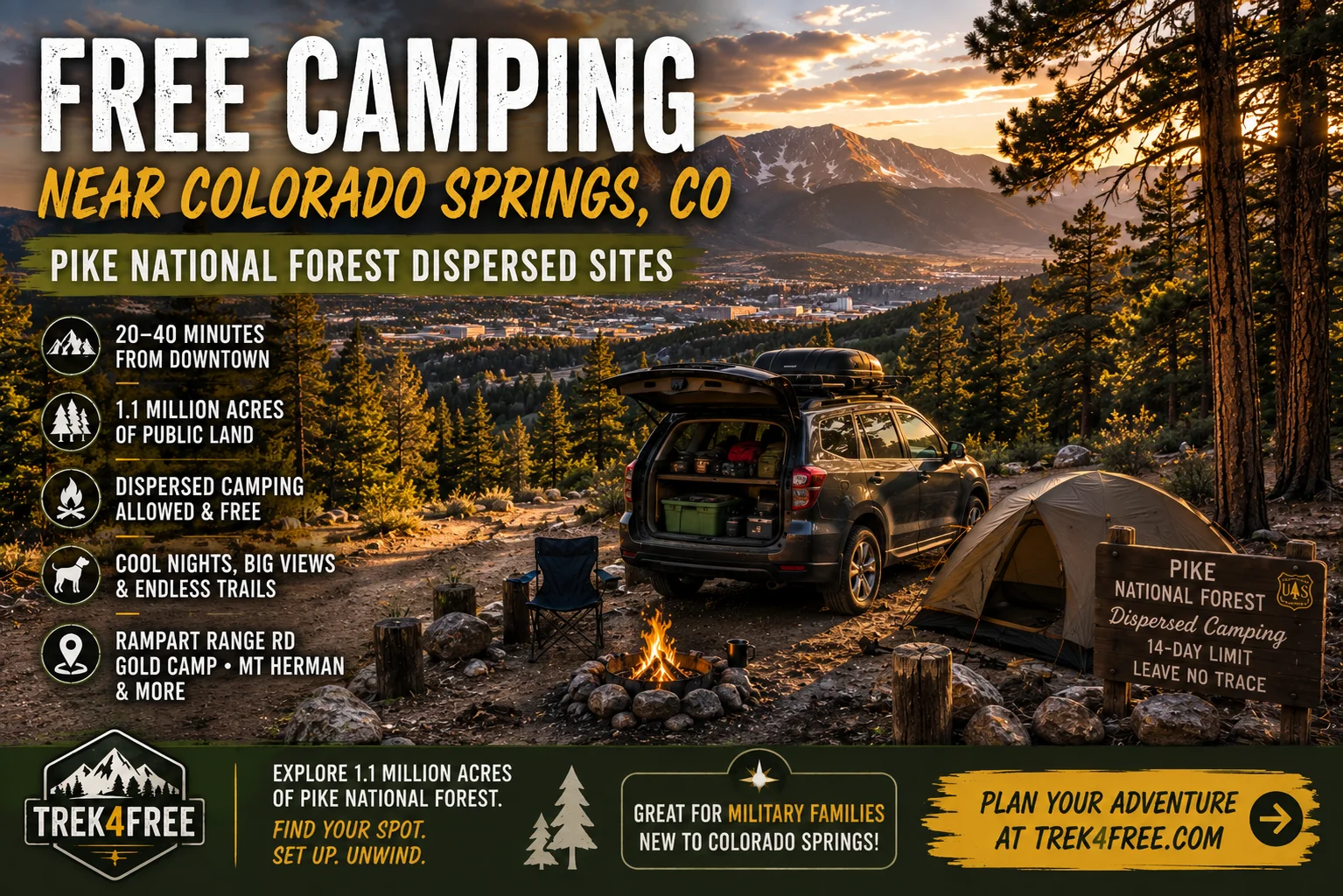
The reason is what’s right on its doorstep. Pike National Forest wraps around Colorado Springs to the west and north — 1.1 million acres of public land pressed up against a metro area of half a million people. You can be in the forest in 20 minutes from downtown. Dispersed camping is allowed throughout most of it, it’s free, and it’s genuinely beautiful.
That’s the outdoor piece. But there’s also a demographic angle that makes Colorado Springs unusual.
The Colorado Springs Factor: One of the Country’s Largest Military Populations
Colorado Springs has more active-duty military personnel per capita than nearly any other city in the United States. The installations here — Fort Carson, Peterson Space Force Base, Schriever Space Force Base, the Air Force Academy, and NORAD/USNORTHCOM at Cheyenne Mountain — together represent tens of thousands of active duty personnel and many times more civilian employees and family members.
The relevant thing about military personnel is that they move. A lot. The average assignment length is two to three years. Every cycle, thousands of families arrive in Colorado Springs for the first time. They don’t know the recreation landscape. They’re starting from scratch on where to hike, where to run, where to take the dog, and yes — where to go camping for free.
If you’re one of those families: here’s the guide. If you’re not: there’s a reason search volume around free camping and dispersed camping near Colorado Springs stays consistently high. It’s not random.
The Land Situation
Pike National Forest covers the terrain immediately west and northwest of Colorado Springs. The Pikes Peak Ranger District manages the forest land closest to the city, including everything around Rampart Range Road, Gold Camp Road, and the Pikes Peak massif itself.
The forest sits at elevations between 7,000 and 12,000 feet. Most dispersed camping is in the 7,000 to 9,000-foot range — enough elevation that summer nights are cool even when the Springs is hitting 90 in the afternoon. This isn’t incidental: it’s one of the main reasons locals and military families use the forest heavily on weekends.
Standard Pike NF dispersed rules apply:
- 14-day maximum stay
- No camping within 100 to 200 feet of a stream or lake
- No camping within a quarter mile of a developed campground or trailhead parking
- Ground fires in a fire ring only — check seasonal fire restrictions before you go, especially June through August
- Pack in, pack out — no trash service
The Pikes Peak Ranger District (719-636-1602) has current road conditions and fire restriction status. A two-minute call on a Friday morning before you leave is worth more than any map.
Zone 1: Rampart Range Road — The Classic
Rampart Range Road is the core dispersed camping route near Colorado Springs. It runs roughly north-south along the Rampart Range escarpment, parallel to US-24/I-25 but far above them, through open ponderosa forest with views of the plains to the east.
The main access from Colorado Springs is through Woodland Park on US-24 west, then south on Rampart Range Road. The drive to the first good sites is about 35 to 40 minutes from downtown, less from the north side of the Springs.
What to expect: Pullouts and dispersed sites scattered throughout the corridor. Some are large enough for a small trailer or van. Others are tent-only flat spots in the trees. The road is maintained gravel — stock vehicles and 2WD SUVs can access most of the corridor without issue. Some of the smaller side tracks require high clearance.
The OHV staging area near HWY 67 and Rampart Range Road is a well-known access point with a pit toilet — popular with ATV users on weekends, quieter mid-week. If you want more solitude, go north or south of the staging areas.
→ View Rampart Range Road Dispersed Camping on Trek4Free
Further north on Rampart Range, there’s another established staging and dispersed camping area at the HWY 67 access with additional OHV zones to the south.
→ View Rampart Range North Dispersed on Trek4Free
Weekend note: Friday evening arrivals for the most popular pullouts are competitive in summer. If you’re going on a weekend, aim to arrive by 2 to 3 PM or plan a weekday trip.
Zone 2: Gold Camp Road — Historic Railroad Grade, Creek Sites
Gold Camp Road is the old Colorado Springs & Cripple Creek District Railway bed — a narrow-gauge mining railroad that ran from Colorado Springs up through the mountains to the gold camps at Cripple Creek and Victor in the 1890s. The railroad is long gone, but the grade was converted to a forest road and it remains one of the most historically interesting drives near the Springs.
The road runs southwest from the Colorado Springs city limits into Pike National Forest, passing through old rock-cut tunnels (several now collapsed and closed) before opening up into forest and meadow terrain. The dispersed camping pullouts along FR376, particularly near the creek junction in the meadow, are among the best sites in the district — flat, shaded, right next to the water.
FR379 branches off toward Frostys Park, a wider meadow that can accommodate small trailers and vans with room to set up and spread out. The trailhead at Frostys Park accesses Mount Rosa (11,499 ft), one of the quieter peaks in the Pikes Peak area.
Access: From Colorado Springs, head south on Nevada Avenue, then west on Lower Gold Camp Road. Stock vehicles and SUVs can handle the main road. High clearance is helpful for the rougher sections further in. The tunnels are closed to vehicles — you’ll go around or stop before them.
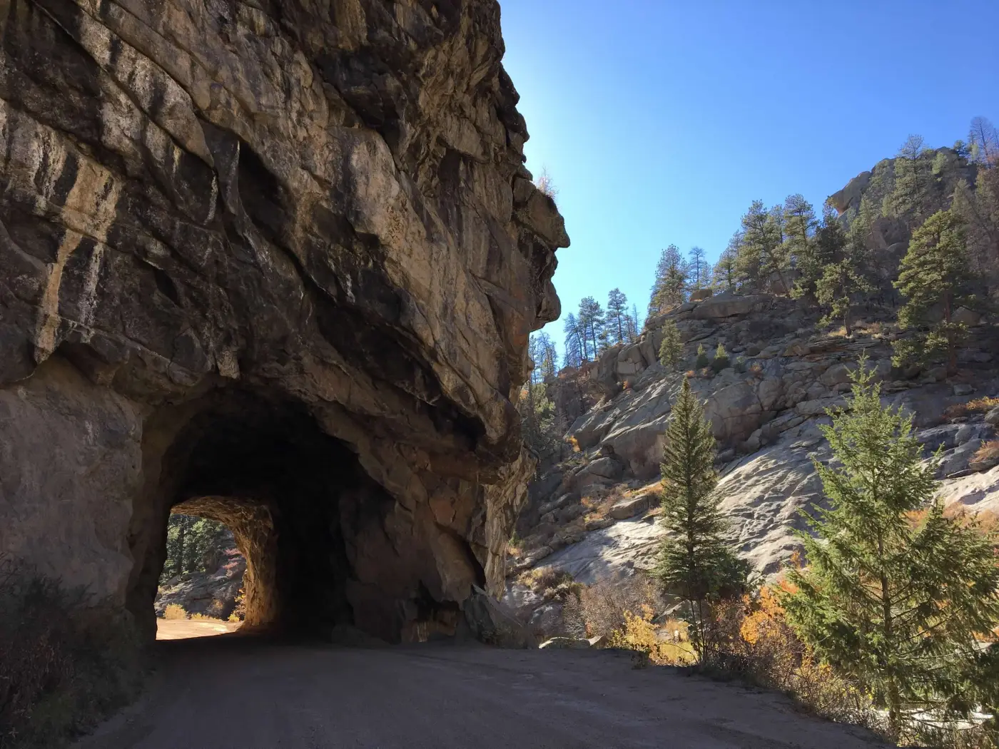
→ View Gold Camp Road Dispersed Camping on Trek4Free
Zone 3: Mount Herman Road — First-Timer Friendly, Views of Pikes Peak
Mount Herman Road (FR 320) is the underrated option north of Colorado Springs, accessed from Monument — about 25 minutes north of the Springs on I-25, then west toward the forest.
The road climbs into ponderosa and mixed conifer forest through terrain that opens up on both sides: Front Range views to the east, Pikes Peak visible to the south. The dispersed pullouts along the upper road are accessible to stock vehicles and feel genuinely remote despite being close to a major interstate corridor.
At the end of the road is the Mount Herman trailhead — a 2-mile round trip hike to the summit at 9,063 feet with 360-degree views of the range. It’s one of the better short hikes near Colorado Springs that most people don’t know about.
Who this is for: This zone works particularly well for first-time dispersed campers who want an accessible site with good road conditions, views, and a hike in the morning. It’s less crowded than Rampart Range on weekends because it’s less well-known.
→ View Mount Herman Road Dispersed Camping on Trek4Free
When Pike National Forest Is Full: Penrose BLM
On peak summer weekends, the closest Pike NF sites along Rampart Range fill up fast. The backup option is south of Colorado Springs — BLM land near Penrose and Cañon City, roughly 40 minutes from downtown.
The Penrose Common Recreation Site and surrounding BLM areas offer dispersed camping on open terrain with basic facilities (pit toilets, no water). It attracts ATV users on weekends, so it’s louder than the forest. But on a Friday night when everything in Pike NF is taken, it’s a reliable legal alternative.
From Colorado Springs: take US-50 west through Cañon City toward Penrose, then follow BLM signs from there.
Garden of the Gods — Day Trip from Camp
While you’re in the area: Garden of the Gods is one of the most striking landscapes in Colorado and it’s completely free. Towering red sandstone formations rising 300 feet against a backdrop of Pikes Peak — technically a registered National Natural Landmark, open to the public at no charge.
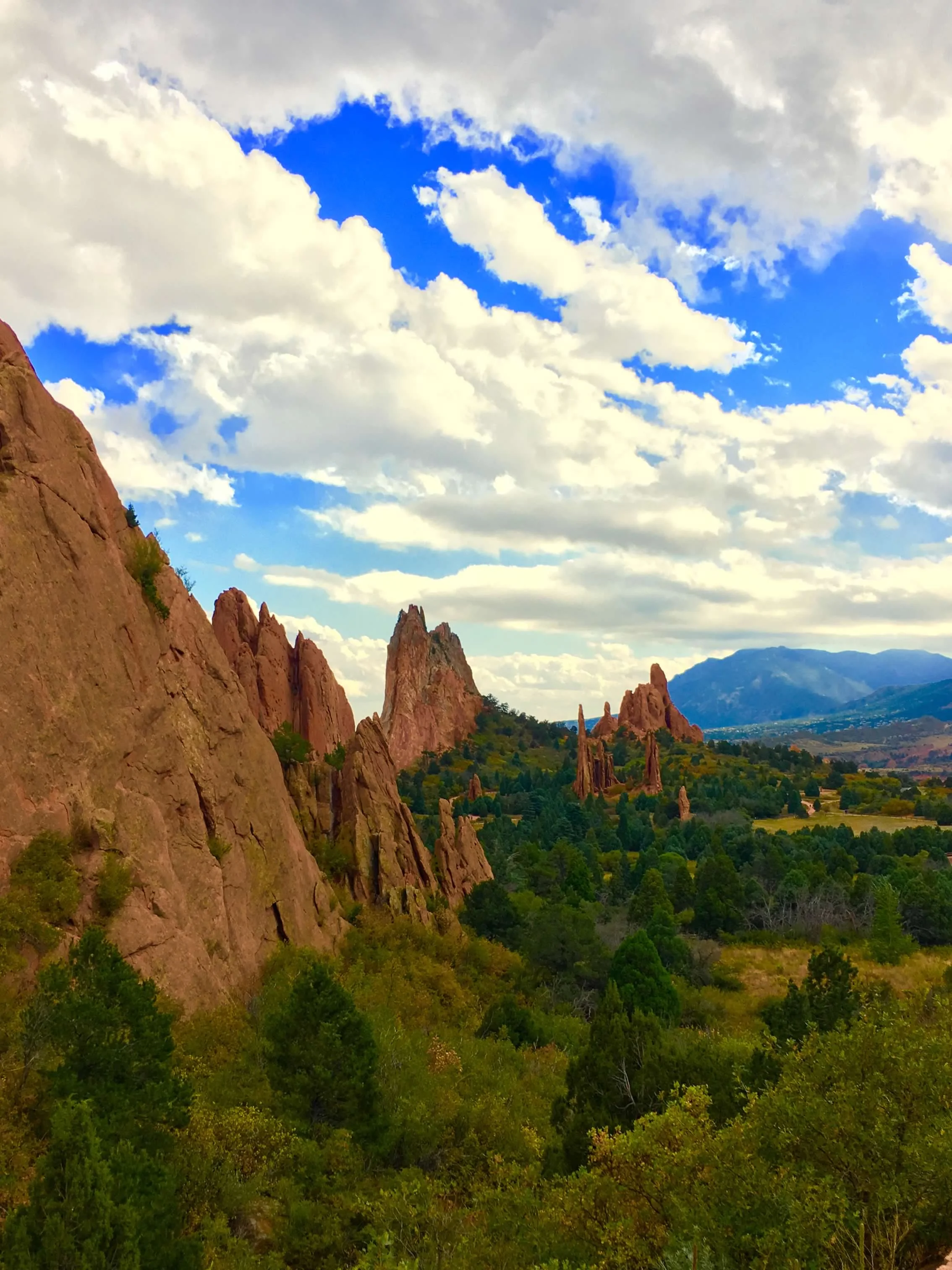
It’s less than 20 minutes from most of the Rampart Range dispersed sites. The main trail loop is 1.5 miles. Climbers use the formations legally with permits. Sunrise and sunset are the right times to be there.
For Hiking and Trail Running Near Camp
Colorado Springs is one of the better trail running cities in the country — the Air Force Academy is there for a reason, and the community is serious. If you’re running from camp or adding a trail day to your trip:
- Barr Trail (Manitou Springs) — 13 miles to the Pikes Peak summit, 7,500 ft gain. Barr Camp at mile 6.5 has overnight lodging if you want to break the summit attempt into two days.
- Chautauqua Park (Colorado Springs side) — shorter runs on the south flank of the Front Range, good for a morning run before driving to camp.
- Mount Rosa (from Gold Camp Rd / Frostys Park) — 11,499 ft, relatively quiet compared to Barr Trail
And yes, if you make it to the Pikes Peak summit — take the Cog Railway back down. Running up and down in the same day is possible and impressive, but the Cog buys you cold coffee and a summit donut.
Trip Planning Notes
Shoulder season is the best time. Memorial Day through Labor Day, the popular Rampart Range pullouts fill fast on weekends. Late September through October is exceptional: aspen color in the higher zones, cooler temps, and dramatically fewer people. The forest typically stays accessible (weather permitting) into October.
Arrive with water. There are no reliable treated water sources in the dispersed zones. Bring all you’ll need, or carry a filter for creek water at the Gold Camp sites.
Check fire restrictions before every trip. Colorado Front Range forests are fire-restriction territory from June through August in most years. A fire restriction doesn’t end your trip — it means camp stove cooking and a cold camp chair instead of a fire ring. The tradeoff is worth it.
Cell service is inconsistent. Rampart Range has spotty coverage near the ridge. Gold Camp loses it quickly once you’re in the canyon. Download offline maps before you leave.
Find all free camping near Colorado Springs →
See all 8 free camping sites within 75 miles of Colorado Springs →
Before You Go
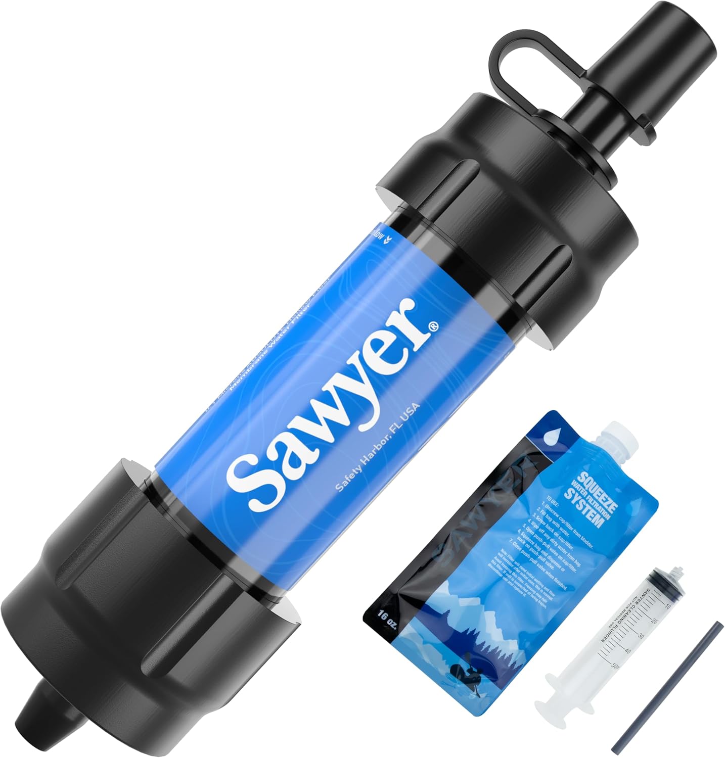 Sawyer Mini Water Filter
Gold Camp Road sites sit right next to a creek. A filter means you carry less and stay longer — unlimited water from any running source.
Sawyer Mini Water Filter
Gold Camp Road sites sit right next to a creek. A filter means you carry less and stay longer — unlimited water from any running source.
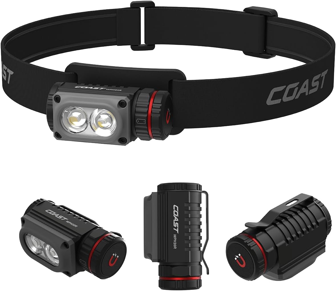 Coast WPH20R Headlamp
Scouting a pullout in the dark, the walk to the cathole, summit ridge before sunrise — rechargeable, clip-on, bright where it counts.
Coast WPH20R Headlamp
Scouting a pullout in the dark, the walk to the cathole, summit ridge before sunrise — rechargeable, clip-on, bright where it counts.
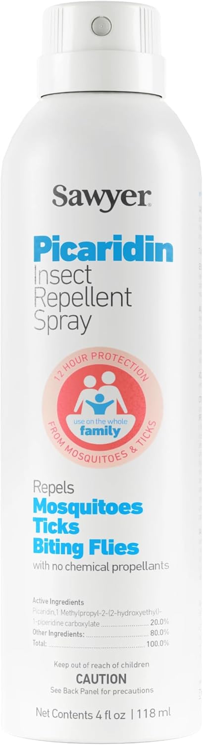 Picaridin Insect Repellent
Creekside sites at Gold Camp are exactly where mosquitoes gather. This costs more than a can of DEET, but DEET eats through plastic and lens coatings — including a good pair of sunglasses. Picaridin doesn't touch either.
Picaridin Insect Repellent
Creekside sites at Gold Camp are exactly where mosquitoes gather. This costs more than a can of DEET, but DEET eats through plastic and lens coatings — including a good pair of sunglasses. Picaridin doesn't touch either.
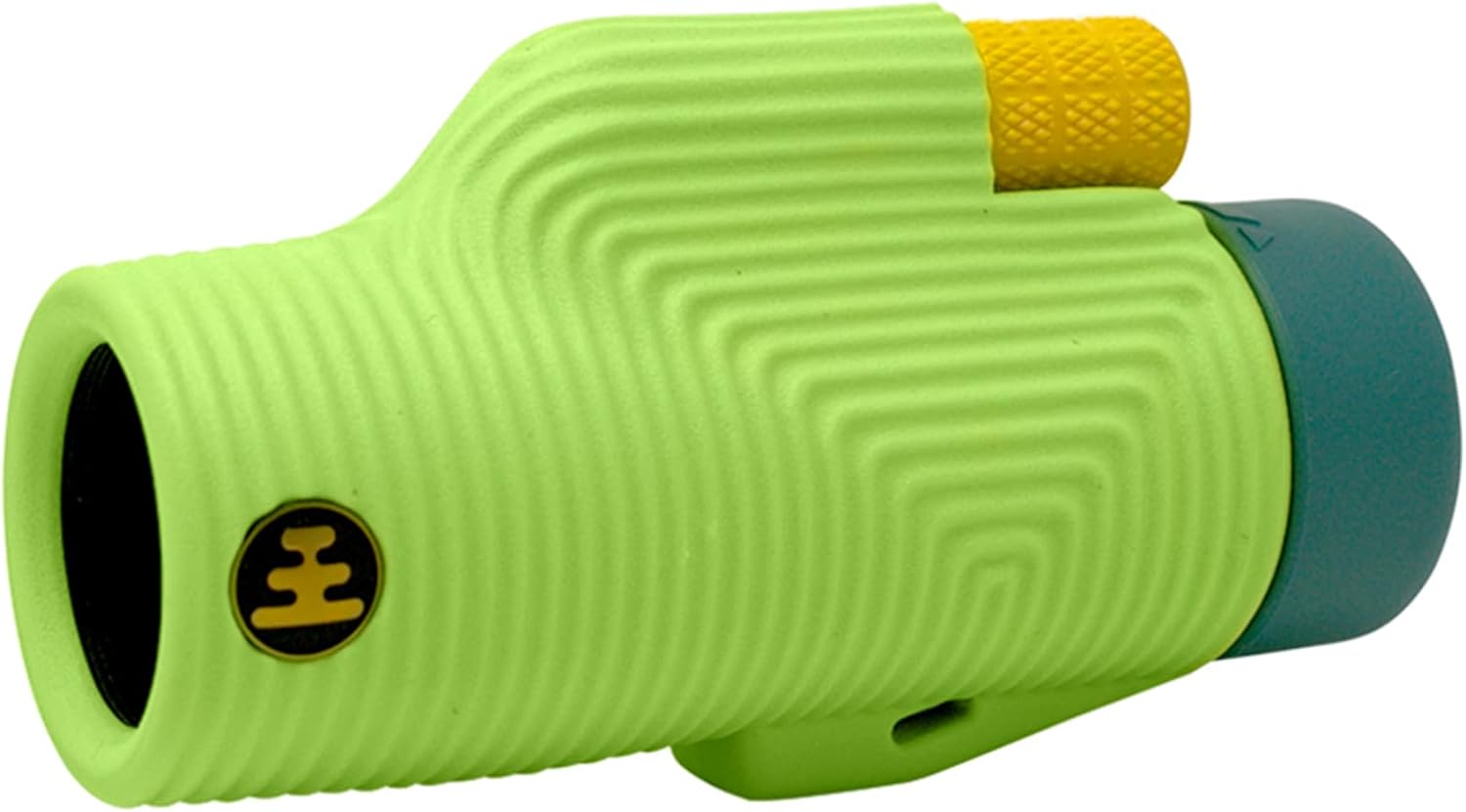 Compact Monocular
Front Range views open up along Mount Herman Road and Rampart Range, and bighorn sheep work these same slopes. A monocular closes the distance without the bulk of full binoculars in the pack.
Compact Monocular
Front Range views open up along Mount Herman Road and Rampart Range, and bighorn sheep work these same slopes. A monocular closes the distance without the bulk of full binoculars in the pack.
Trip Planning
These are affiliate links — we appreciate your support, no extra cost to you.