Beckley, West Virginia: The Mountain Town That Keeps Pulling You Back
Beckley, West Virginia: The Mountain Town That Keeps Pulling You Back
Some places you visit once. Some places you visit and then spend the next several years finding reasons to go back.
Beckley, West Virginia — and the New River Gorge that runs just north of it — is the second kind.
We went the first time for the climbing. We went back for Bridge Day. We went back again because we’d found free camping sites we liked. And after a while, we stopped needing specific reasons. We just went because Beckley kept earning it.
Here’s everything that mountain town has, in one place.
Free Camping: Three Sites, Six Miles Apart
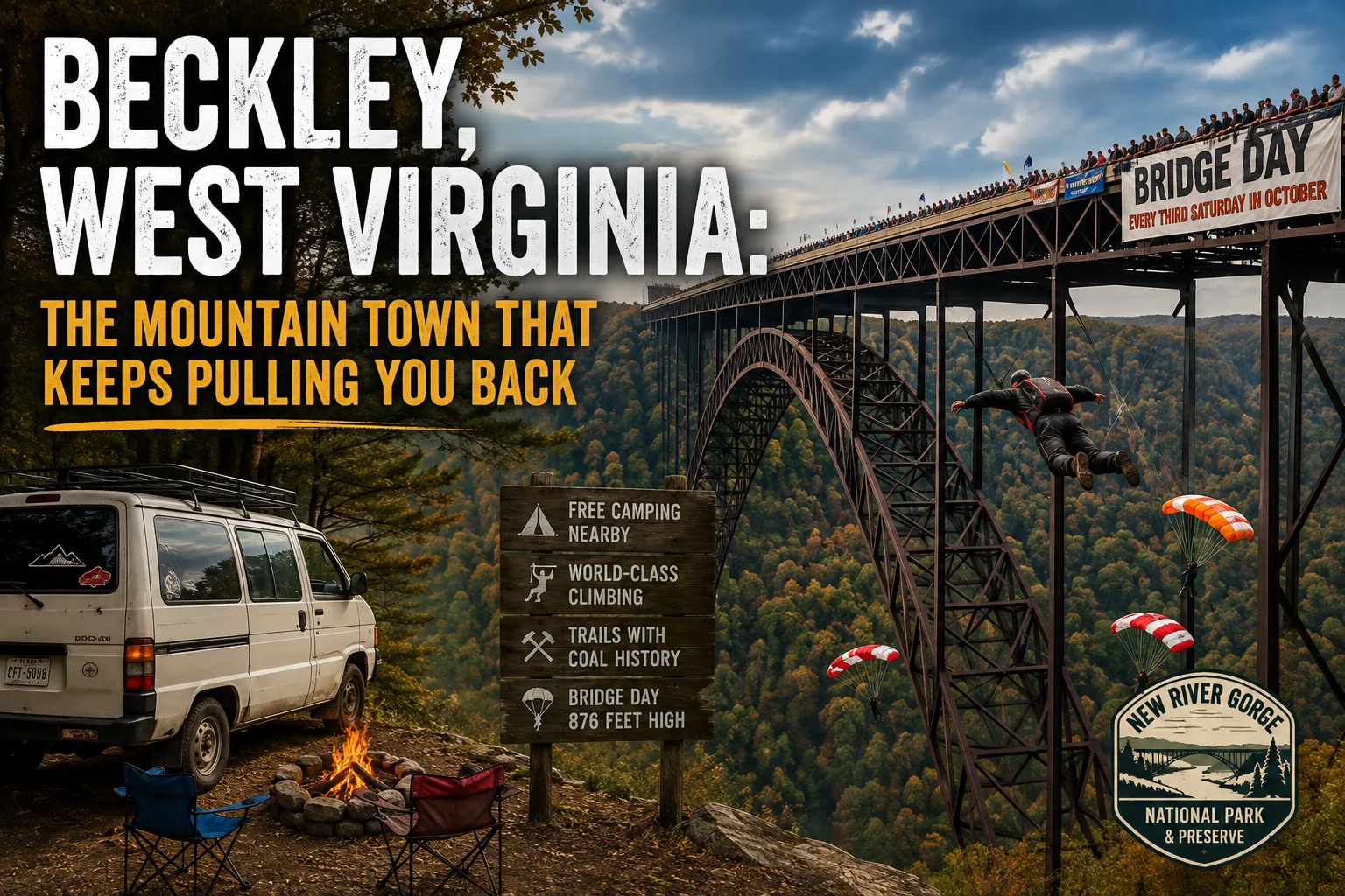
The backbone of any recurring trip is being able to afford to stay. Near Prince, West Virginia — about fifteen miles from Beckley — there are three free primitive campgrounds clustered within six miles of each other, all inside New River Gorge National Park and Preserve.
Army Camp sits along the New River with ten drive-in sites and six walk-in sites. Fire rings, grills, picnic tables. No hookups, no running water — bring your own or filter it from the river. A single-lane road gets you in, which keeps the crowds honest.
Grandview Sandbar and Glades Creek sit on the opposite side of the river and are equally primitive and equally free. Three campgrounds, six miles, all of them good. The 14-day limit means you could rotate through them across two weeks without ever paying for a site.
This is how we structured our trips. Park the van, settle in, and wake up in the gorge every morning.
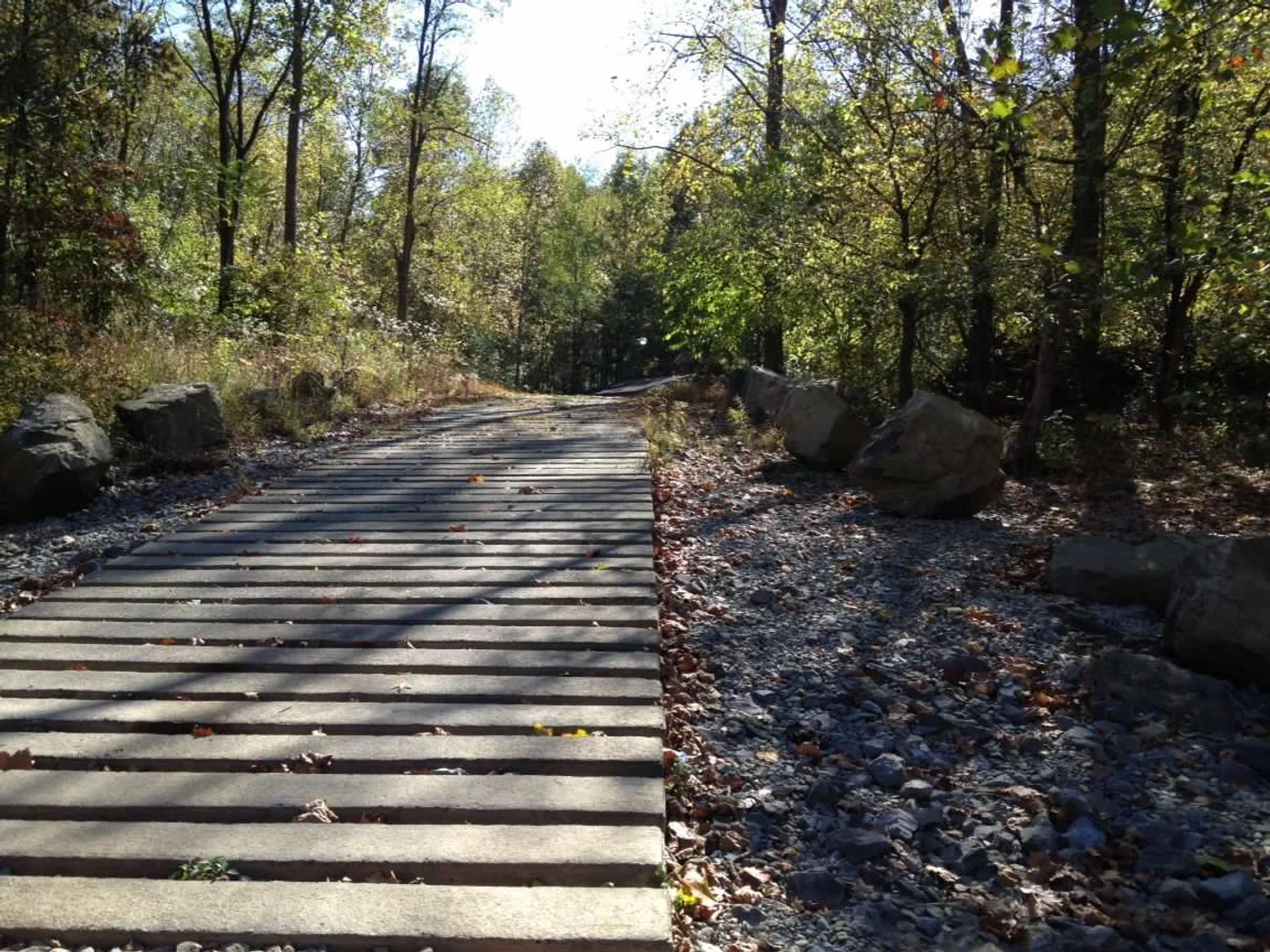
Find free camping in West Virginia on Trek4Free →
The Climbing: 1,000 Walls, 3,000 Routes
The New River Gorge has more than 1,000 rock climbing faces and over 3,000 established routes. The rock is Nuttall Sandstone — 98% quartz — and climbers will tell you it’s harder than Yosemite granite. Highly featured with jugs, pockets, edges, and horizontals, profiles ranging from vertical to severely overhanging.
Routes run from 5.9 up to 5.14b. Most fall between 5.10 and 5.11. Heights go from 30 to 120 feet. Nearly all established routes are bolted with fixed anchors — which means setting top rope is straightforward once you’ve led or rappelled the line.
The Bridge Area is where most people start. It was among the first areas developed in the gorge, and it delivers immediate satisfaction. Classic routes include Chockstone (5.9), Jaws (5.9), and Tree Route (5.10) in the Bridge Buttress area. It’s also where the walls climb underneath the New River Gorge Bridge itself — which, if you’ve never experienced it, is a particular thing. Looking up through 800 feet of open air at the underside of one of the longest arch bridges in the world while your hands are on sandstone changes the scale of what you think you’re doing.
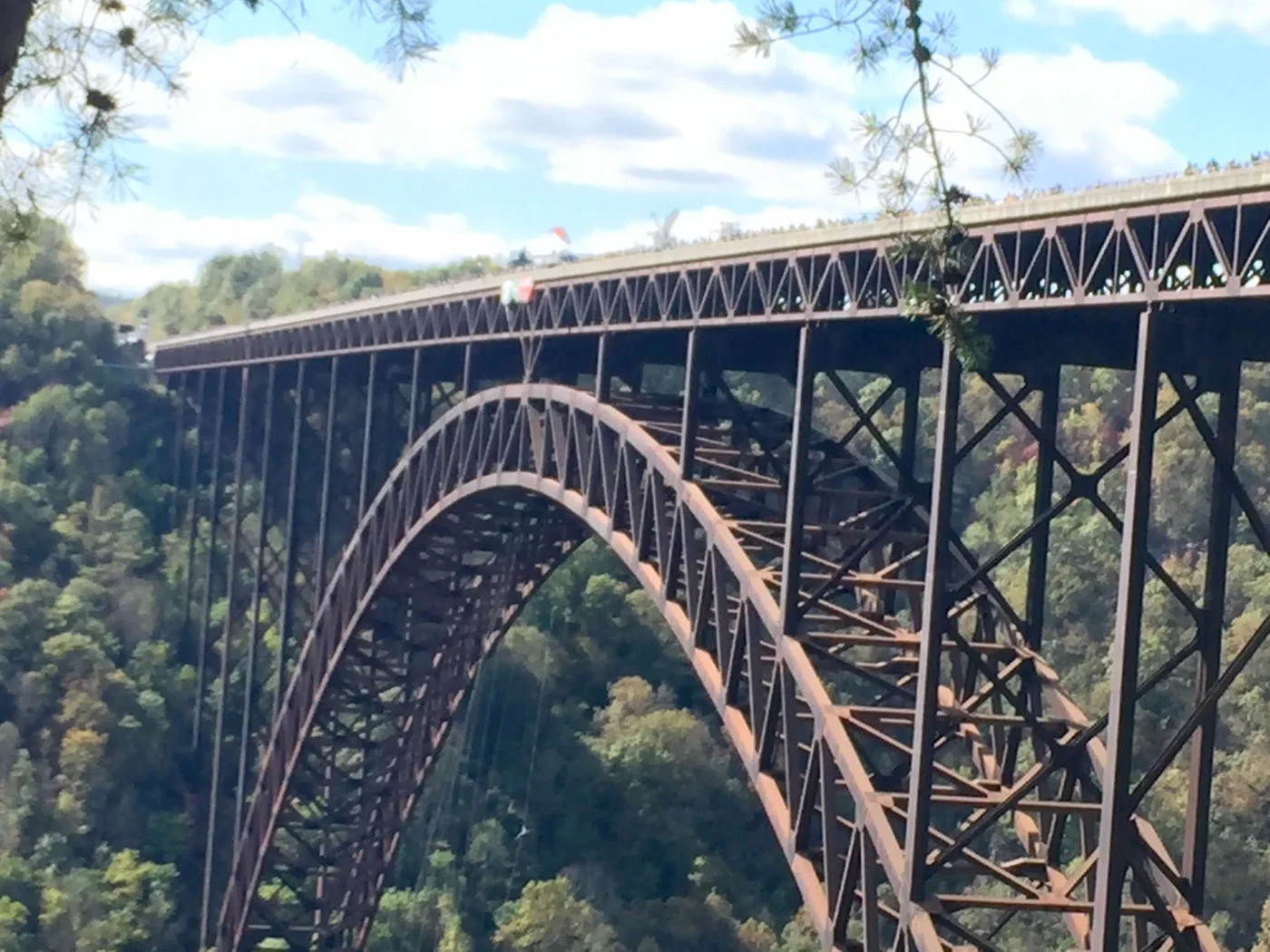
This wall became our favorite. We came back to it more times than we can accurately count.
The Endless Wall stretches 4.5 miles of nearly unbroken cliffline — accessed by rappelling or descending two steep staircases cut into rock crevices. More remote, less crowded, worth it once you know what you’re doing.
We have a full article on our East Coast climbing journey — from finding the sport to the crux that wouldn’t let us quit — coming separately. The New River Gorge is central to that story.
Trail Running: Coal Country on Every Mile
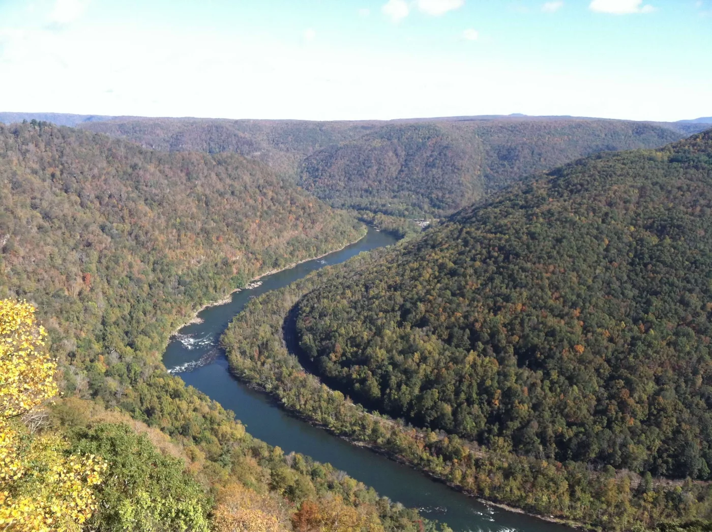
Beckley is in Fayette and Raleigh Counties — deep coal country. The New River Gorge had over sixty coal towns along its walls during the boom years. Most of them are gone now. What’s left is on the trails.
Every run we did in this gorge led somewhere historically interesting. Abandoned processing plants. Tipples and rail remnants. Sketchy old bridges that shouldn’t still be standing but are. The infrastructure of an industry that moved mountains and then disappeared.
Glade Creek Trail runs along a former narrow-gauge railroad corridor used to haul coal from remote mines inside the gorge. The railroad bed makes for runnable trail, and it leads to Kates Falls at the end. One of the most-reviewed trails in the park for good reason.
Kaymoor Miner’s Trail drops down into the gorge toward the ruins of the Kaymoor coal mine — one of the most complete sets of mine ruins accessible on foot in the park. You come out with views of the New River Gorge Bridge from below. The combination of industrial history and natural scale is something you don’t find many places.
Long Point Trail is the other bridge-view option — shorter, more direct, the bridge framed against the gorge from a different angle.
Big Branch Trail in the southern end of the park is a quieter loop through dense forest with stream crossings and small waterfalls. Good for a recovery run when the legs need miles without elevation hammering.
When your trail runs lead you into history like this, the miles go differently.
Kaymoor Bottom: The Mine the Forest Took Back
The coal industry in the New River Gorge didn’t just leave ghost towns. It left the infrastructure in place — and the forest has been growing back over it for decades.
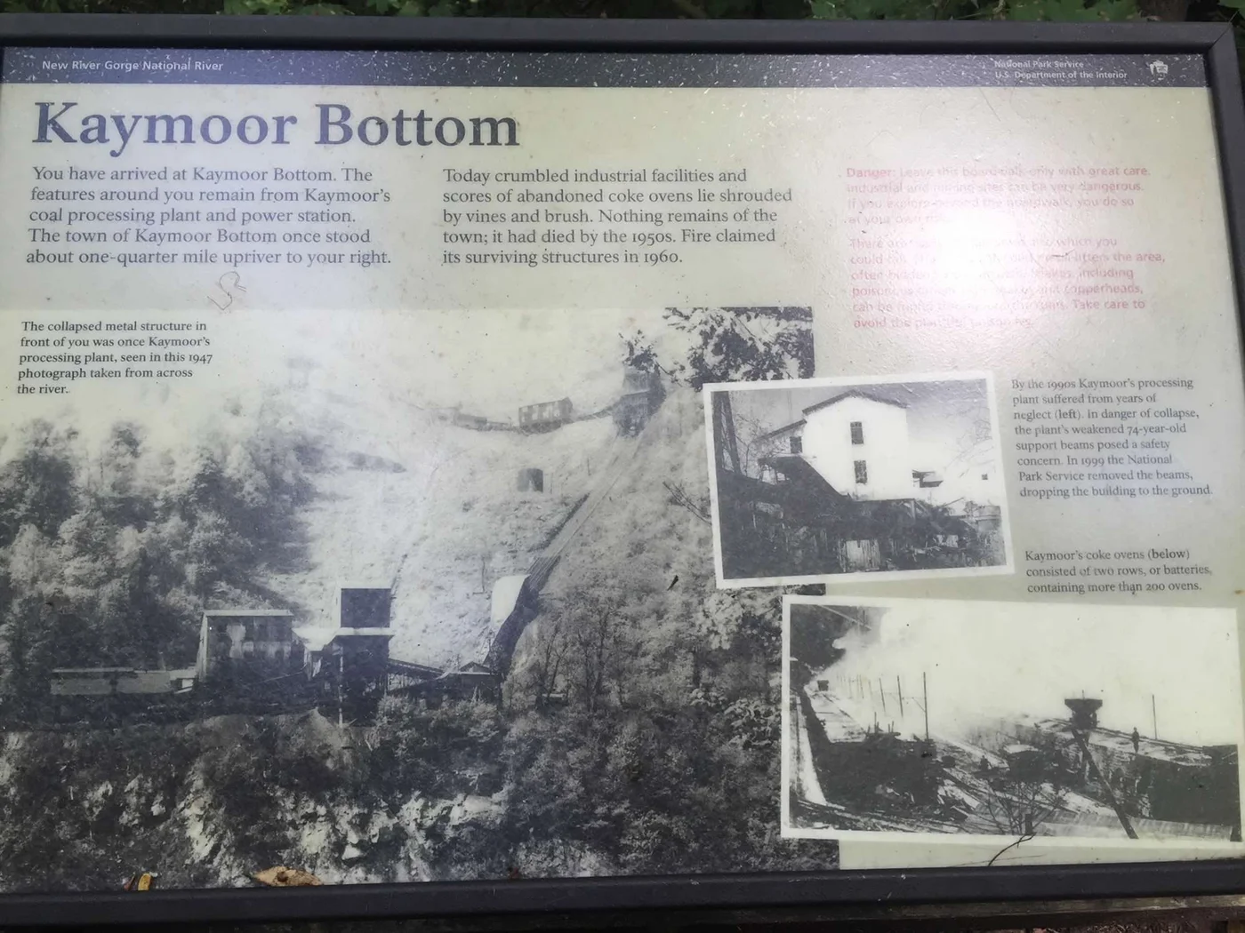
Kaymoor was a full coal operation: a mine, a processing plant, a power station, and more than 200 coke ovens arranged in two long rows down the gorge wall. The town of Kaymoor Bottom died by the 1950s. Fire took what was left of it in 1960. In 1999, the National Park Service removed the decaying processing plant by dropping it to the ground. What remains is in the forest, and the Kaymoor Miners Trail leads you right to it.
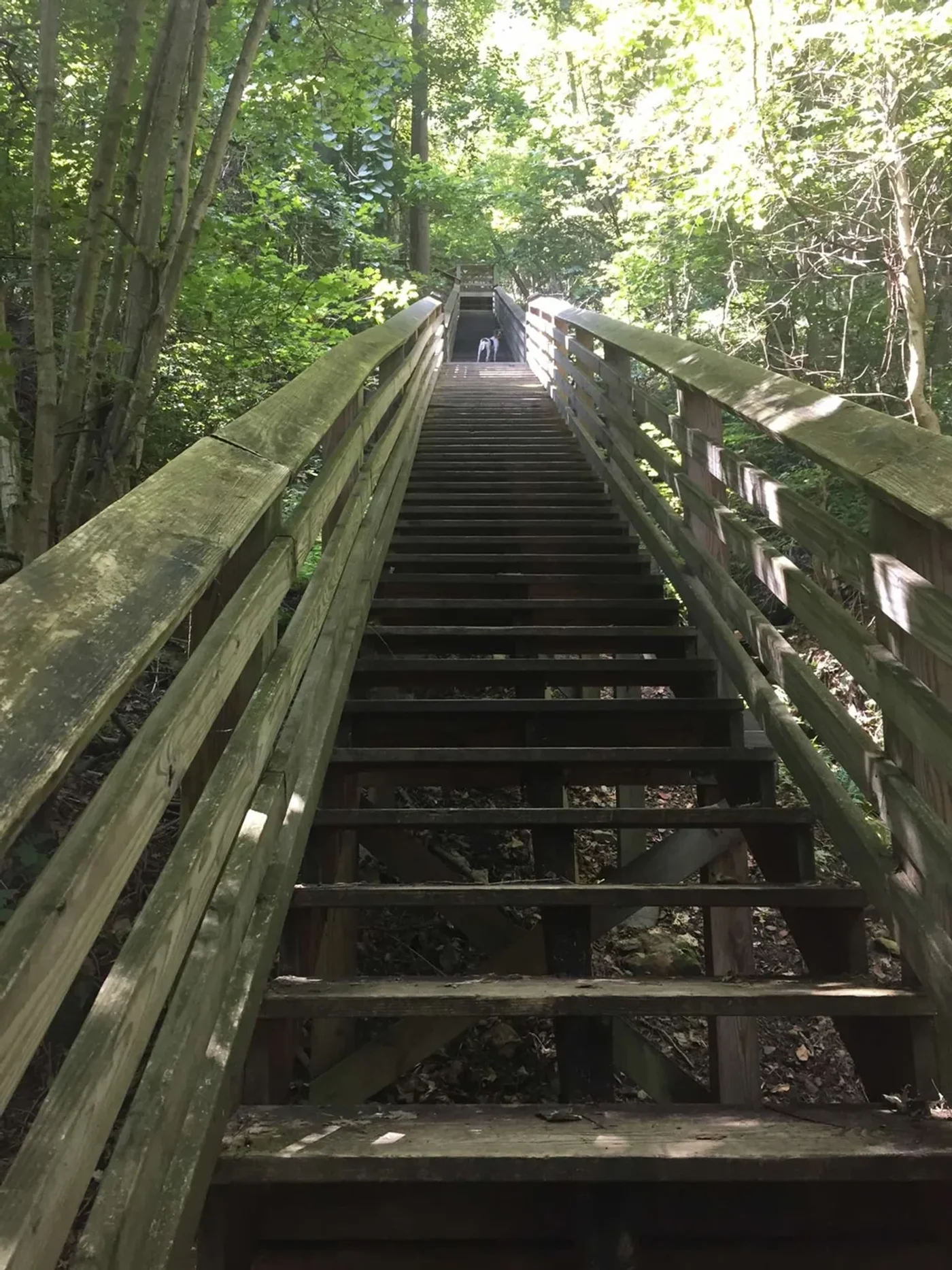
We took kids on this trail. It’s well-marked and ends at the bottom of the gorge with views of the New River Gorge Bridge from below. It also goes down a significant number of stairs to get there — which means it comes back up on the other end. Families who are not particularly outdoor-hardened may have opinions about this. The kids who’ve been dragged on trails their whole lives will be fine.
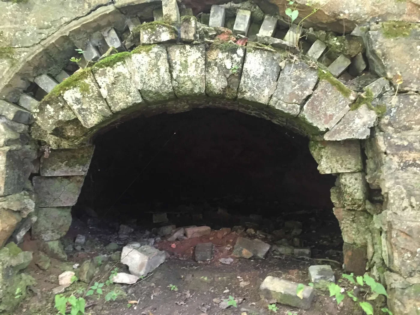
The coke ovens are the first thing that stops you. More than 200 of them, in two batteries. Each one is a rounded stone arch — brick and mortar, maybe six feet at the peak — dark inside from a century of burning coal into coke for steel production. They sit in rows down the hillside, moss-covered, some collapsed, some intact. From a distance they look like ruins of something ancient. Up close you realize they’re not that old — there are people alive today whose fathers worked these ovens.
There’s a wooden structure still standing that was part of the old processing operation — gray, soft timber with trees growing up through the floor, open to the sky in places. The National Park Service sign in front of you shows a 1947 photograph of this same structure still working, coal moving through it, men alongside it. The contrast between the photograph and what’s in front of you is something.
And then we saw the Safety Board.
Still standing. On wooden posts in the middle of the overgrowth, the same place it was posted when men walked past it every morning before going underground. The paint has faded but the words are still readable:
“LOST TIME ACCIDENTS FOR YEAR”
“MONTHS WITHOUT A LOST TIME ACCIDENT”
“CAUTION BE CAREFUL — ACCIDENTS CHOOSE NO PERSON, NO TIME, NO PLACE”
“A SMALL SCRATCH CAN KILL A LARGE MAN. A GOOD WORKMAN IS A SAFE WORKMAN.”
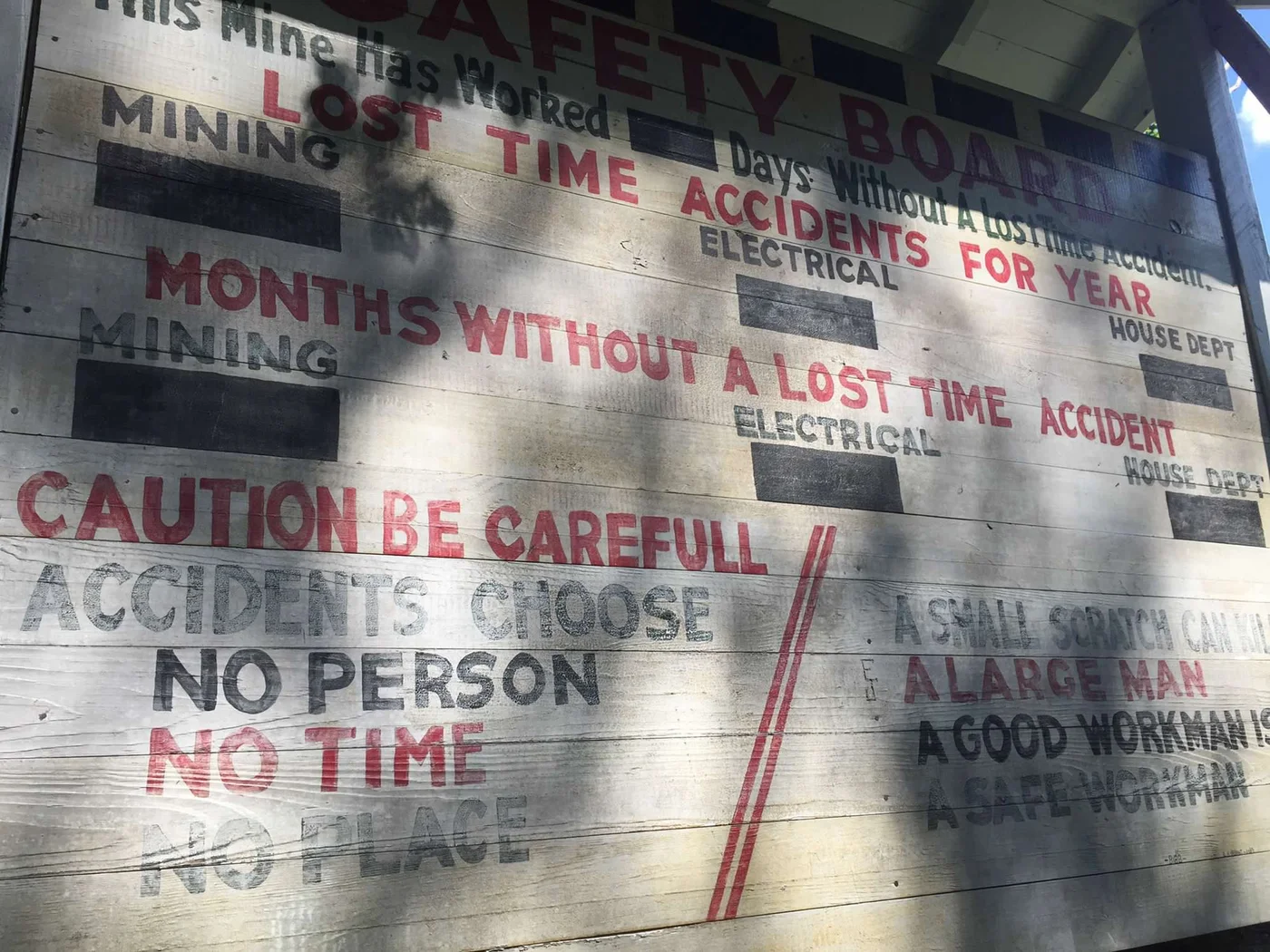
The black panels are where the numbers went — the count of days worked without a lost-time accident, updated by hand, every day. The panels are blank now. The mine has been closed for longer than most people have been alive.
We stood there for a long time.
Find the Kaymoor Miners Trail and hiking near New River Gorge →
Bridge Day: Every Third Saturday in October
On the third Saturday of October, the New River Gorge Bridge opens to pedestrians.
And then people jump off it.
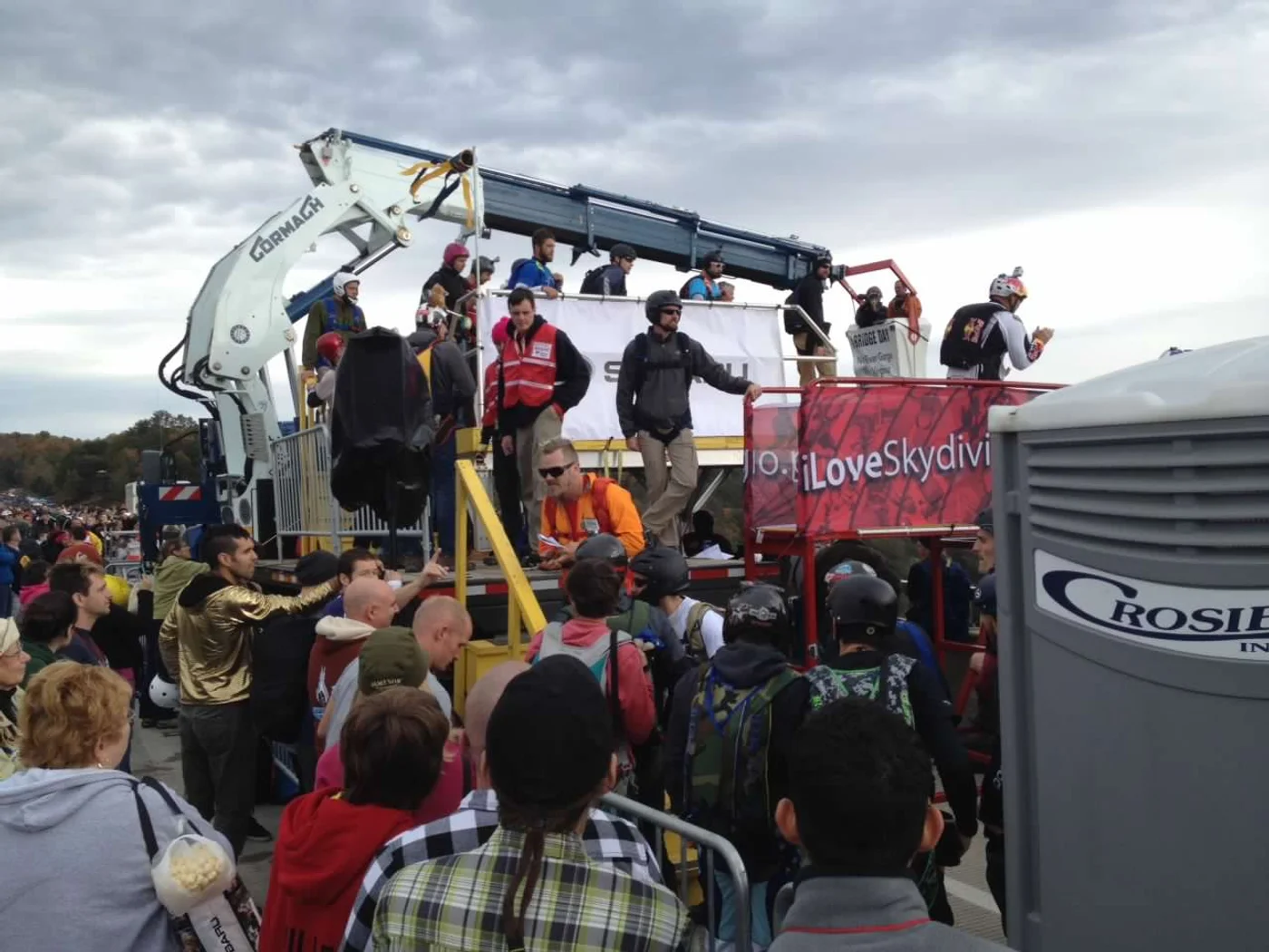
Bridge Day is the oldest and largest organized BASE jumping event in the world. The bridge stands 876 feet above the river. For six hours — 9am to 3pm — BASE jumpers leap from the deck into the gorge below at the rate of one every thirty seconds. About 100,000 spectators come to watch. The event is completely free.
We went several times just to stand on that bridge and watch.
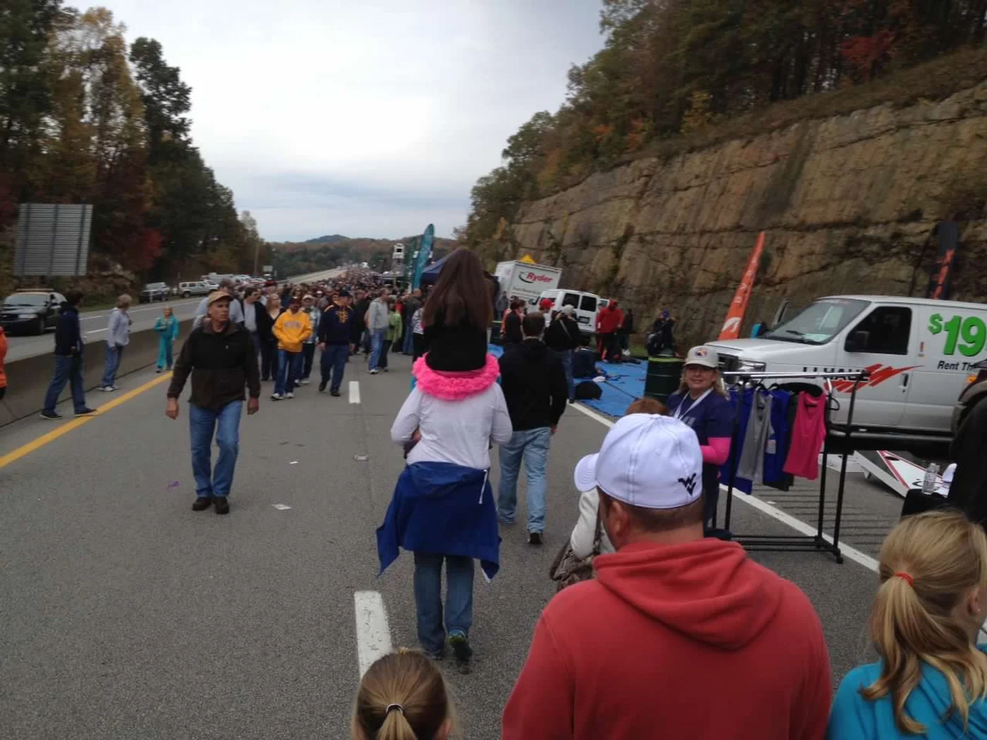
There is no preparation for what it looks like to watch a person step off the edge of something 876 feet above a river and disappear into the gorge. The sound comes after. Your brain takes a moment to process what it just saw. Then the next jumper is already in position.
Beyond the BASE jumping: rappellers descend from the bridge catwalk, and there’s a 700-foot zipline from the catwalk down to Fayette Station Road if you want the sensation without the full commitment. The whole gorge turns into a festival for the day.
Bridge Day 2026: October 17. Free. No tickets. Show up.
We had free camping spots in the area we’d return to for this event specifically. Wake up in the gorge, drive over, spend the day watching people do something that defies every reasonable instinct, drive back to camp.
One year we camped with a group that had an ax-throwing setup back at site. We were so worn out from standing on the bridge all day watching jumpers that throwing axes at a stump in the dark felt like the most reasonable possible next move.
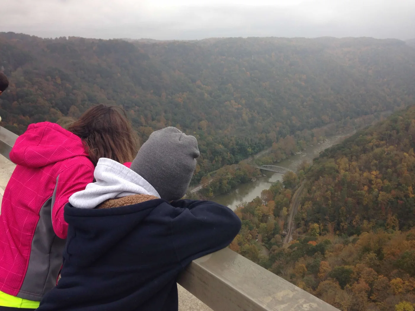
A perfect day.
Why Beckley Keeps Earning It
It’s rare that a place has all of it — free land, world-class climbing, trail running with history baked into every mile, and a once-a-year event that is genuinely unlike anything else in the country.
Most places have one or two of those things. Beckley has all of them, and none of them require a reservation or a credit card. The camping is free. Bridge Day is free. The trails are free. The climbing is there for anyone willing to learn the approach.
That’s the kind of place that becomes a habit rather than a trip.
Find free camping in West Virginia →
Find trails and hiking near New River Gorge →
Before You Go
These are affiliate links — we appreciate your support, no extra cost to you.